Old Maps of Ernesto Ramos Antonini, Ponce for Hiking & Exploration
Hike through history with 8 historic maps of Ernesto Ramos Antonini. Explore old trails, ghost towns, and forgotten backroads — perfect for outdoor adventurers and local explorers.
- Rediscover forgotten places: Map out old mining camps, roads, and footpaths that no longer exist on modern maps.
- Layer with modern tools: Combine with LiDAR or satellite views to plan hikes through historical terrain.
- Made for exploration: Popular among hikers, overlanders, and local history lovers.
Use these maps to find adventure and explore the hidden past of Ernesto Ramos Antonini.
Ernesto Ramos Antonini, Ponce maps
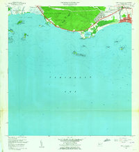
(8)- 1946 Map of Punta Cuchara
 1946 Punta Cuchara1946 Print · USGSThe southern coast of Puerto Rico appears here during the mid-1940s, showing the vital maritime and rail corridors near Ponce. Researchers can locate the American Railroad line and trace agricultural estates like Hacienda Matilde or the old Faro on Cayo Cardona.3 unique versions available
 - 1947 Map of Punta Gughara NE
 1947 Punta Gughara NE1947 Print · USGSThe southern coast of Puerto Rico is captured here in the late 1940s, showing the agricultural and maritime character of the area around Ponce. Researchers can trace the layout of Hacienda Matilde, locate the coastal Faro, and explore the wetlands of Laguna de las Salinas.
 - 1952 Map of Punta Cuchara
 1952 Punta Cuchara1952 Print · USGSThe southern coast of Puerto Rico appears here at mid-century as a landscape of coastal railroads and colonial estates. Local historians can trace the Porto Rico American Railroad and identify old sites like Hacienda Matilde and Tallaboa Poniente.2 unique versions available
 - 1958 Map of Punta Cucharas, 1961 Print
 1958 Punta Cucharas1961 Print · USGSThe southern coast of Puerto Rico is captured here in the late fifties as the harbor at Playa de Ponce thrived. Researchers can trace the path of the Ferrocarril de Puerto Rico and locate local landmarks like Hacienda Matilde and Cayo Cardona.2 unique versions available
 - 1962 Map of Punta Cucharas, 1964 Print
 1962 Punta Cucharas1964 Print · USGSThe southern coast of Puerto Rico comes into focus during the early sixties as urban expansion reaches toward the sea. Researchers can trace the heritage of Playa de Ponce, the site of Hacienda Matilde, and the route of the Antigua Vía del Ferrocarril.4 unique versions available
 - 2013 Map of Punta Cucharas, 2013 Print
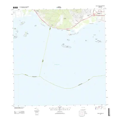 2013 Punta Cucharas2013 Print · USGSCovers Ernesto Ramos Antonini, including Villa Laramia, Ponce, and other nearby areas
 - 2018 Map of Punta Cucharas, 2018 Print
 2018 Punta Cucharas2018 Print · USGSCovers Ernesto Ramos Antonini, including Villa Laramia, Ponce, and other nearby areas
 - 2024 Map of Punta Cucharas, 2024 Print
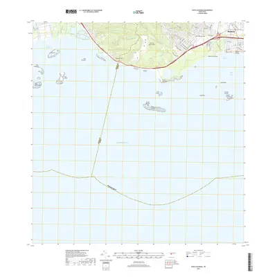
 2024 Punta Cucharas2024 Print · USGSThe coast of Ponce and the southern shoreline of the island are captured here in the contemporary era. Researchers can trace the layout of Playa de Ponce, find the Cementerio Municipal de la Playa, or locate the Instituto de Puerto Rico.
End of results
Showing maps 1-8 of 8
Frequently asked questions
- What are the different types of historical maps available for Ernesto Ramos Antonini?
- What is the oldest map of Ernesto Ramos Antonini?
- Where can I purchase historical maps of Ernesto Ramos Antonini for my home or office?
- Where can I download high-res historical maps of Ernesto Ramos Antonini?
- Are there historical topographic maps available for Ernesto Ramos Antonini?
- Is there historical aerial imagery available for Ernesto Ramos Antonini?
- Where are historical maps of Ernesto Ramos Antonini sourced from?