Old Maps of Guaraguao, Ponce for Metal Detecting
Plan your next treasure hunt with 18 historic maps of Guaraguao. Find old homesites, ghost towns, trails, and gathering spots that may be lost to time — perfect for identifying promising metal detecting locations.
- Locate forgotten sites: Uncover places like long-lost settlements, abandoned rail lines, or gathering spots.
- Plan better hunts: Use map overlays combined with LiDAR or satellite views to narrow in on historically rich areas.
- Made for detectorists: Thousands of hobbyists use these maps to discover relics, coins, and hidden history.
Use these historic maps to boost your research and find new opportunities beneath the surface of Guaraguao.
Guaraguao, Ponce maps
(18)- 1946 Map of Penuelas
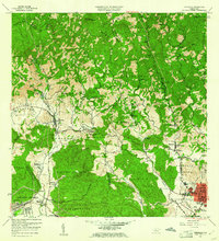
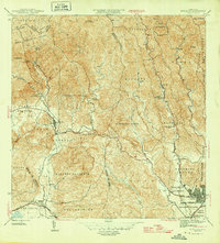 1946 Penuelas1946 Print · USGSSouthern Puerto Rico was a landscape of traditional haciendas and emerging hydroelectric power in the years following the war. Genealogists and historians can trace family-named estates like Hacienda Dolores and the path of the American Railroad of P. R.3 unique versions available
 - 1946 Map of Adjuntas
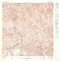
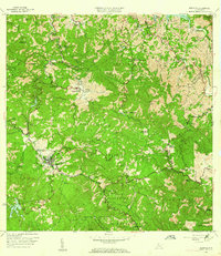
 1946 Adjuntas1946 Print · USGSAdjuntas and the surrounding central highlands are captured here in the mid-forties, showing a landscape defined by coffee and sugar estates. Researchers can trace the heritage of specific estates like Hacienda Jauca and Hacienda El Progreso or locate mountain landmarks such as Cerro El Gigante.2 unique versions available
 - 1947 Map of Penuelas NE
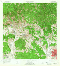
 1947 Penuelas NE1947 Print · USGSThe rural highlands of Ponce and Peñuelas are captured here in the mid-1940s, showing a landscape of deep valleys and mountain estates. Researchers can trace local heritage through the Escuela Segunda Unidad de Corral Viejo and family-named lands like Hacienda Burenes.
 - 1947 Map of Adjuntas SO
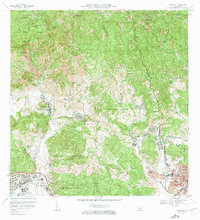
 1947 Adjuntas SO1947 Print · USGSThe mountain town of Adjuntas and the high peaks of the Cordillera Central are shown here in the late 1940s. Genealogists and historians can trace old property lines along the Río Grande de Arecibo or locate landmarks like the Adjuntas Chimney and Lago Garzas.
 - 1947 Map of Penuelas NO
 1947 Penuelas NO1947 Print · USGSThe high peaks of the Puerto Rican interior are captured here in the late 1940s as hydroelectric power transformed the region. Researchers can trace the early energy grid at Salto Garzas or locate family roots in mountain communities like Mata de Plátano.
 - 1947 Map of Adjuntas SE
 1947 Adjuntas SE1947 Print · USGSThe high peaks of the Cordillera Central come alive in this post-war survey of the Ponce and Adjuntas borderlands. Genealogists and historians can trace the legacy of old agricultural estates like Hacienda El Banco and the Iglesia de San Patricio.
 - 1952 Map of Penuelas, 1953 Print
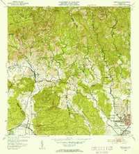 1952 Penuelas1953 Print · USGSPeñuelas and the southern foothills of the Cordillera Central are captured here in the early fifties during a period of industrial growth. You can trace the American Railroad of Porto Rico and locate historic estates like Hacienda Oliva and Hacienda Burenes.2 unique versions available
 - 1952 Map of Adjuntas, 1953 Print
 1952 Adjuntas1953 Print · USGSThe mountain municipality of Adjuntas is shown in the mid-fifties amidst its traditional agricultural barrios and coffee-growing haciendas. Genealogists and historians can locate specific family-named estates like Hacienda Artau and Hacienda El Progreso or old parish centers like Iglesia de San Patricio.2 unique versions available
 - 1958 Map of Penuelas, 1961 Print
 1958 Penuelas1961 Print · USGSSouthern Puerto Rico undergoes a mid-century industrial shift as mountain coffee lands meet coastal development. Genealogists and historians can trace family estates like Hacienda Dolores, old parish sites such as Iglesia San Marcus, and early infrastructure from the Refineria De Petroleo.
 - 1960 Map of Adjuntas, 1962 Print
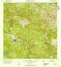
 1960 Adjuntas1962 Print · USGSThe high mountain terrain of the Cordillera Central comes to life in the early 1960s, showing the intersection of coffee estate history and modern hydraulic engineering. Genealogists and historians can locate numerous family estates like Hacienda Tres Hermanas and community centers such as Iglesia de San Patricio.4 unique versions available
 - 1964 Map of Penuelas, 1966 Print
 1964 Penuelas1966 Print · USGSSouthern Puerto Rico undergoes a transformation in the 1960s as industrial growth reaches the coastal valleys. Trace the footprint of agricultural estates like Hacienda Dolores and Hacienda Josefa alongside the massive Refinería de Petróleo.2 unique versions available
 - 1972 Map of Penuelas, 1974 Print
 1972 Penuelas1974 Print · USGSPeñuelas and the western outskirts of Ponce are captured in the early seventies during a period of significant suburban and industrial expansion. Researchers can trace the heritage of local estates like Hacienda Esperanza or locate community anchors such as Iglesia San Mateo and Parque Montaner.2 unique versions available
 - 2013 Map of Adjuntas, 2013 Print
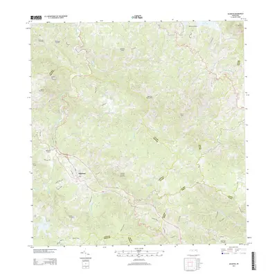 2013 Adjuntas2013 Print · USGSCovers Guaraguao, including Adjuntas, Sector Vickey Oquendo, and other nearby areas
 - 2013 Map of Penuelas, 2013 Print
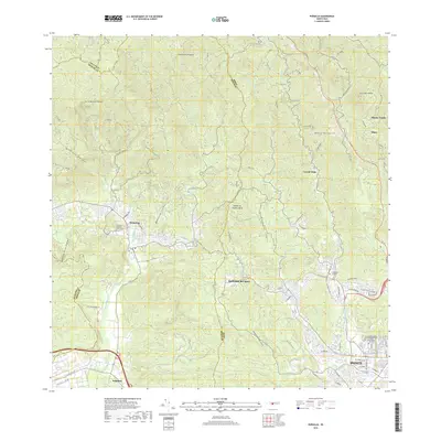
 2013 Penuelas2013 Print · USGSCovers Guaraguao, including Peñuelas, Sector Los Cruz, and other nearby areas
 - 2018 Map of Penuelas, 2018 Print
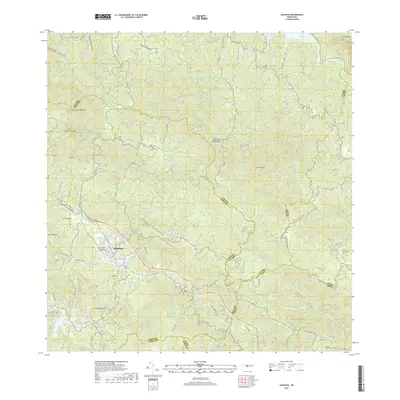
 2018 Penuelas2018 Print · USGSCovers Guaraguao, including Peñuelas, Sector Los Cruz, and other nearby areas
 - 2018 Map of Adjuntas, 2018 Print
 2018 Adjuntas2018 Print · USGSCovers Guaraguao, including Adjuntas, Sector Vickey Oquendo, and other nearby areas
 - 2024 Map of Adjuntas, 2024 Print
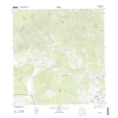
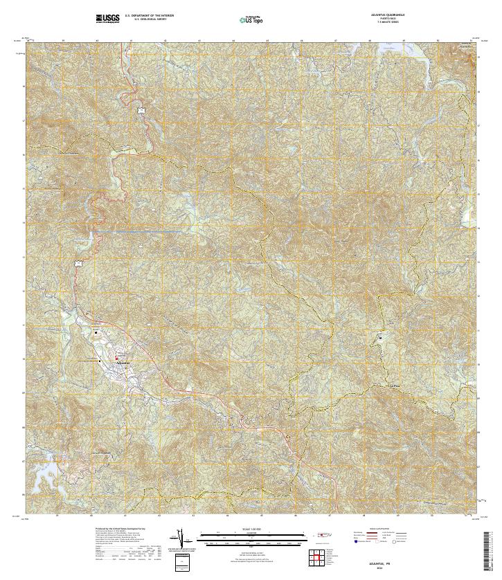 2024 Adjuntas2024 Print · USGSThe mountain town of Adjuntas is shown in the mid-2020s, highlighting the complex network of river valleys and reservoirs. Genealogists can trace family names through landmarks like Cementerio Remanso De Paz and local routes like Cam Lopez.
 - 2024 Map of Penuelas, 2024 Print
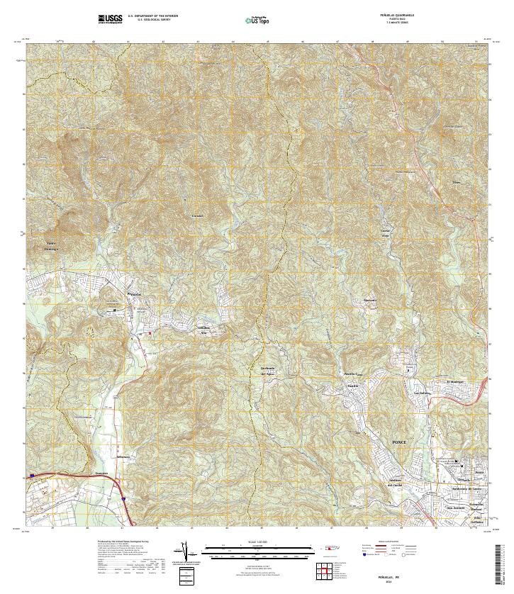 2024 Penuelas2024 Print · USGSSouthern Puerto Rico is mapped here in contemporary detail, showing the integration of the urban Ponce periphery with the mountains around Peñuelas. Researchers can identify specific local landmarks like the Tribunal de Peñuelas or trace family sites at the Cementerio La Piedad.
End of results
Showing maps 1-18 of 18
Frequently asked questions
- What are the different types of historical maps available for Guaraguao?
- What is the oldest map of Guaraguao?
- Where can I purchase historical maps of Guaraguao for my home or office?
- Where can I download high-res historical maps of Guaraguao?
- Are there historical topographic maps available for Guaraguao?
- Is there historical aerial imagery available for Guaraguao?
- Where are historical maps of Guaraguao sourced from?