Old Maps of Ciénaga Baja, Río Grande for Metal Detecting
Plan your next treasure hunt with 27 historic maps of Ciénaga Baja. Find old homesites, ghost towns, trails, and gathering spots that may be lost to time — perfect for identifying promising metal detecting locations.
- Locate forgotten sites: Uncover places like long-lost settlements, abandoned rail lines, or gathering spots.
- Plan better hunts: Use map overlays combined with LiDAR or satellite views to narrow in on historically rich areas.
- Made for detectorists: Thousands of hobbyists use these maps to discover relics, coins, and hidden history.
Use these historic maps to boost your research and find new opportunities beneath the surface of Ciénaga Baja.
Ciénaga Baja, Río Grande maps
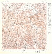
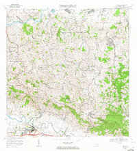
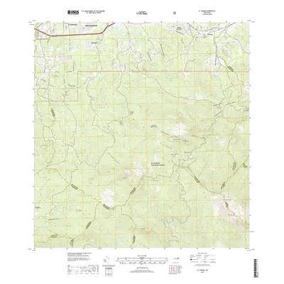
(27)- 1941 Map of Rio Grande
 1941 Rio Grande1941 Print · USGSCoastal Puerto Rico in the early 1940s reveals a landscape of tidal marshes and agricultural estates. Genealogists and researchers can trace family lands through the numerous named colonias like Colonia Blasini and Colonia Dolores, or locate early settlements such as Poblado Honduras.2 unique versions available
 - 1945 Map of El Yunque
 1945 El Yunque1945 Print · USGSThe peaks of the Luquillo range rise sharply in the mid-1940s, showing the interior of the Caribbean National Forest before modern expansion. Genealogists and historians can trace old community sites like Mameyes (Palmer), the Escuela Casiano Cepeda, and the localized activity at La Mina.
 - 1946 Map of El Yunque
 1946 El Yunque1946 Print · USGSNortheastern Puerto Rico is depicted here in the mid-1940s, showcasing the mountainous interior as it rises from the coast. Researchers can trace the trails and summits of the Luquillo National Forest or locate rural landmarks like Mameyes (Palmer) and the Escuela Casiano Cepeda.3 unique versions available
 - 1946 Map of Gurabo
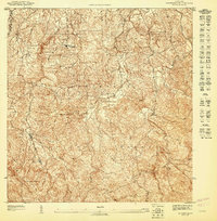
 1946 Gurabo1946 Print · USGSThe foothills and river valleys of northeastern Puerto Rico come alive in this post-war survey. Genealogists can locate family-named landmarks and rural centers like Trujillo Bajo, Campo Rico, and the Escuela Segunda Unidad de Cacao.3 unique versions available
 - 1947 Map of Gurabo NE
 1947 Gurabo NE1947 Print · USGSNortheastern Puerto Rico in the late forties shows a rural landscape defined by the dense Caribbean National Forest and small hillside settlements. Genealogists and local historians can locate family homes near Cambute, Campo Rico, or the Escuela Segunda Unidad de Carruzos.
 - 1947 Map of Rio Grande
 1947 Rio Grande1947 Print · USGSThe northeastern coast of Puerto Rico is captured here in the mid-1940s, highlighting a landscape defined by river deltas and sugar colonias. Genealogists and historians can trace family locations in settlements like Poblado Honduras and Colonia Fortuna.3 unique versions available
 - 1947 Map of El Yunque NO
 1947 El Yunque NO1947 Print · USGSThe foothills of the Luquillo Mountains are captured in detail during the late 1940s, showing the intersection of mountain terrain and local community. Genealogists can trace rural dwellings near Escuela Casiano Cepeda and the winding course of the Rio Espiritu Santo.
 - 1949 Map of Rio Grande SO
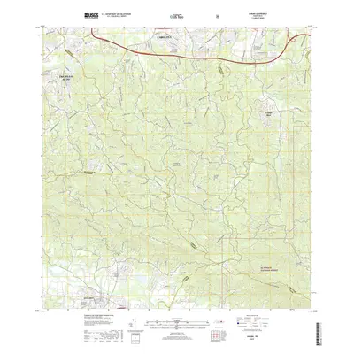
 1949 Rio Grande SO1949 Print · USGSNortheast Puerto Rico is shown here in the late 1940s, where the coastal plains meet the mouths of major river systems. Genealogists and historians can trace the family-named agriculture centers like Colonia Mimi and early settlements such as Poblado Honduras.
 - 1952 Map of Gurabo, 1953 Print
 1952 Gurabo1953 Print · USGSThe valleys and peaks of eastern Puerto Rico are captured here in the early fifties, showing the rural development of the Gurabo region. Genealogists and historians can trace local family landmarks and community hubs like Trujillo Bajo, Escuela Manuel Agosto, and the Cementerio Rural de Gurabo.2 unique versions available
 - 1952 Map of El Yunque, 1953 Print
 1952 El Yunque1953 Print · USGSThe peaks of the Sierra de Luquillo are mapped here in the early fifties during a period of expanding forest management and rural education. Researchers can locate early forest facilities like the Area Recreo de la Mina and local landmarks like Escuela Malpica.2 unique versions available
 - 1955 Map of Gurabo, 1956 Print
 1955 Gurabo1956 Print · USGSMid-century Gurabo and the surrounding highlands are captured here during a period of agricultural and educational expansion. Genealogists and historians can trace family roots through labeled landmarks like Trujillo Bajo, Escuela Abraham Lincoln, and the Cementerio Rural de Gurabo.
 - 1956 Map of Rio Grande, 1958 Print
 1956 Rio Grande1958 Print · USGSCoastal Puerto Rico comes to life in the 1950s, showing a landscape of sugar-era settlements and river deltas. Genealogists can locate specific homesteads at Poblado Honduras or trace community roots at Colonia Dolores and Comunidad Dolores.
 - 1957 Map of Gurabo, 1959 Print
 1957 Gurabo1959 Print · USGSThe Puerto Rican interior near the confluence of the Rio Gurabo and Rio Grande de Loiza comes alive in this late 1950s survey. Researchers can trace rural lineages through the Cementerio Rural de Carruzos and local schools like Escuela Manuel Lebron.
 - 1958 Map of El Yunque, 1960 Print
 1958 El Yunque1960 Print · USGSThe rainforest peaks and coastal valleys of eastern Puerto Rico are captured here in the late fifties. Genealogists and researchers can trace rural life at Mameyes or locate local landmarks like the Escuela Malpica and the old Mina workings.
 - 1962 Map of Gurabo, 1965 Print
 1962 Gurabo1965 Print · USGSThe valleys and peaks of eastern Puerto Rico are captured here in the early sixties, showing the vital waterways of the Río Gurabo. Local historians can trace family locations at settlements like Mariana and Maria Jiménez or locate the Cementerio Rural de Gurabo.
 - 1963 Map of Rio Grande, 1965 Print
 1963 Rio Grande1965 Print · USGSCoastal Puerto Rico in the early sixties shows a landscape of growing barrios and winding rivers before modern development. Genealogists and historians can trace family roots in settlements like Suárez and Mini Mini or locate the Escuela Luis Calderón.4 unique versions available
 - 1967 Map of El Yunque, 1969 Print
 1967 El Yunque1969 Print · USGSThe Luquillo Mountains of Puerto Rico appear here in the late sixties as the island’s mountain interior and coastal barrios continued to develop. Researchers can trace rural school locations like Escuela Morovis and forest landmarks like Pico El Yunque.4 unique versions available
 - 1969 Map of Gurabo, 1972 Print
 1969 Gurabo1972 Print · USGSEastern Puerto Rico's river valleys and mountain peaks are captured here in the late sixties. Genealogists and historians can trace the Via del Ferrocarril near Gurabo or locate family sites like María Jiménez and the Cementerio Rural de Gurabo.2 unique versions available
 - 2013 Map of El Yunque, 2013 Print
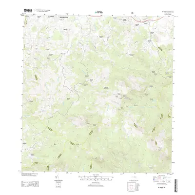 2013 El Yunque2013 Print · USGSCovers Ciénaga Baja, including Sector Rosado, Palma Sola, and other nearby areas
 - 2013 Map of Rio Grande, 2013 Print
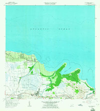
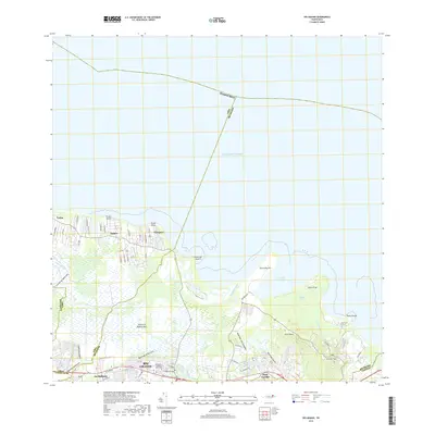
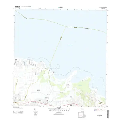 2013 Rio Grande2013 Print · USGSCovers Ciénaga Baja, including Río Grande, Lindo Mar, and other nearby areas
 - 2013 Map of Gurabo, 2013 Print
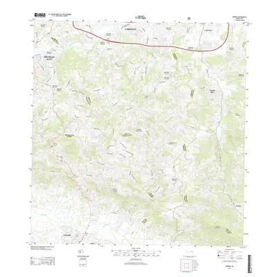 2013 Gurabo2013 Print · USGSCovers Ciénaga Baja, including Gurabo, Mariana, and other nearby areas
 - 2018 Map of El Yunque, 2018 Print
 2018 El Yunque2018 Print · USGSCovers Ciénaga Baja, including Sector Rosado, Palma Sola, and other nearby areas
 - 2018 Map of Gurabo, 2018 Print
 2018 Gurabo2018 Print · USGSCovers Ciénaga Baja, including Gurabo, Mariana, and other nearby areas
 - 2018 Map of Rio Grande, 2018 Print
 2018 Rio Grande2018 Print · USGSCovers Ciénaga Baja, including Río Grande, Lindo Mar, and other nearby areas
 - 2024 Map of El Yunque, 2024 Print
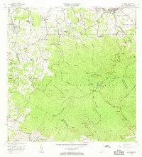
 2024 El Yunque2024 Print · USGSEastern Puerto Rico's tropical highlands are mapped here in the modern era, showing the intersection of coastal settlements and mountain wilderness. Researchers can trace local landmarks like Cementerio Municipal Palmer and Campamento Eliza Colberg alongside the peaks of Pico El Yunque.
Showing maps 1-25 of 27
Frequently asked questions
- What are the different types of historical maps available for Ciénaga Baja?
- What is the oldest map of Ciénaga Baja?
- Where can I purchase historical maps of Ciénaga Baja for my home or office?
- Where can I download high-res historical maps of Ciénaga Baja?
- Are there historical topographic maps available for Ciénaga Baja?
- Is there historical aerial imagery available for Ciénaga Baja?
- Where are historical maps of Ciénaga Baja sourced from?