2000s (21st Century) Maps of San Lorenzo
Explore 12 historic maps of San Lorenzo from the 2000s (21st Century). These maps offer a rare glimpse into what life looked like during the 2000s — showing old roads, neighborhoods, homes, and landmarks that have changed or disappeared over time.
Whether you're researching your family's past, planning a metal detecting trip, or studying how San Lorenzo's landscape evolved across the 2000s, these high-resolution maps are a powerful tool for exploring the history of this region.
- Focus on a specific era: All maps on this page are from the 2000s, giving you a focused view of this time period.
- See what’s changed: Compare century-old streets, trails, and buildings to today's modern landscape using overlays and satellite layers.
- Research with precision: Use these maps for genealogy, historical research, land use analysis, or educational projects.
- View, download, or print: Maps are fully viewable online in high resolution, and can be downloaded or printed for your own records.
Start exploring San Lorenzo's history through authentic maps from the 2000s. This is your window into the past.
San Lorenzo maps
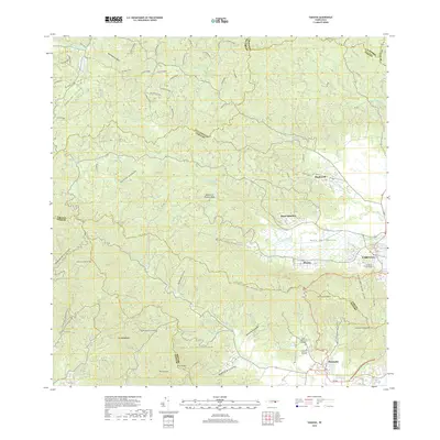
(12)- 2013 Map of Patillas, 2013 Print
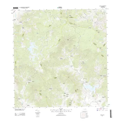 2013 Patillas2013 Print · USGSCovers San Lorenzo, including Patillas, Sector Hormiga, and other nearby areas
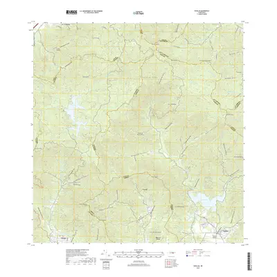
 - 2013 Map of Juncos, 2013 Print
 2013 Juncos2013 Print · USGSCovers San Lorenzo, including Juncos, La Placita, and other nearby areas
 - 2013 Map of Yabucoa, 2013 Print
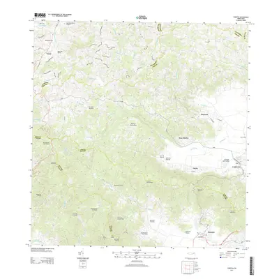 2013 Yabucoa2013 Print · USGSCovers San Lorenzo, including Yabucoa, Maunabo, and other nearby areas
 - 2013 Map of Caguas, 2013 Print
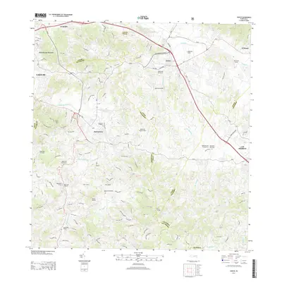
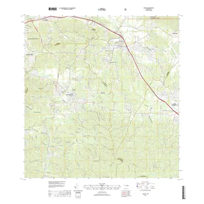
 2013 Caguas2013 Print · USGSCovers San Lorenzo, including Caguas, Sector Héctor Rivera, and other nearby areas
 - 2018 Map of Yabucoa, 2018 Print
 2018 Yabucoa2018 Print · USGSCovers San Lorenzo, including Yabucoa, Maunabo, and other nearby areas
 - 2018 Map of Juncos, 2018 Print
 2018 Juncos2018 Print · USGSCovers San Lorenzo, including Juncos, La Placita, and other nearby areas
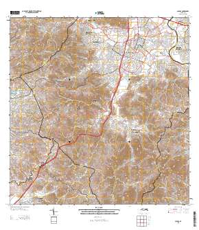
 - 2018 Map of Caguas, 2018 Print
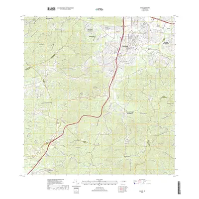 2018 Caguas2018 Print · USGSCovers San Lorenzo, including Caguas, Sector Héctor Rivera, and other nearby areas
 - 2018 Map of Patillas, 2018 Print
 2018 Patillas2018 Print · USGSCovers San Lorenzo, including Patillas, Sector Hormiga, and other nearby areas
 - 2024 Map of Juncos, 2024 Print
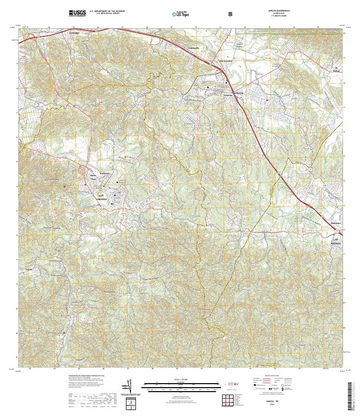 2024 Juncos2024 Print · USGSEastern Puerto Rico’s interior valleys and foothills are captured in this contemporary record of the Juncos and San Lorenzo region. Genealogists and local historians can trace modern urban growth alongside established sites like Central Juncos, Cementerio Municipal Viejo, and the Tribunal de San Lorenzo.
 - 2024 Map of Patillas, 2024 Print
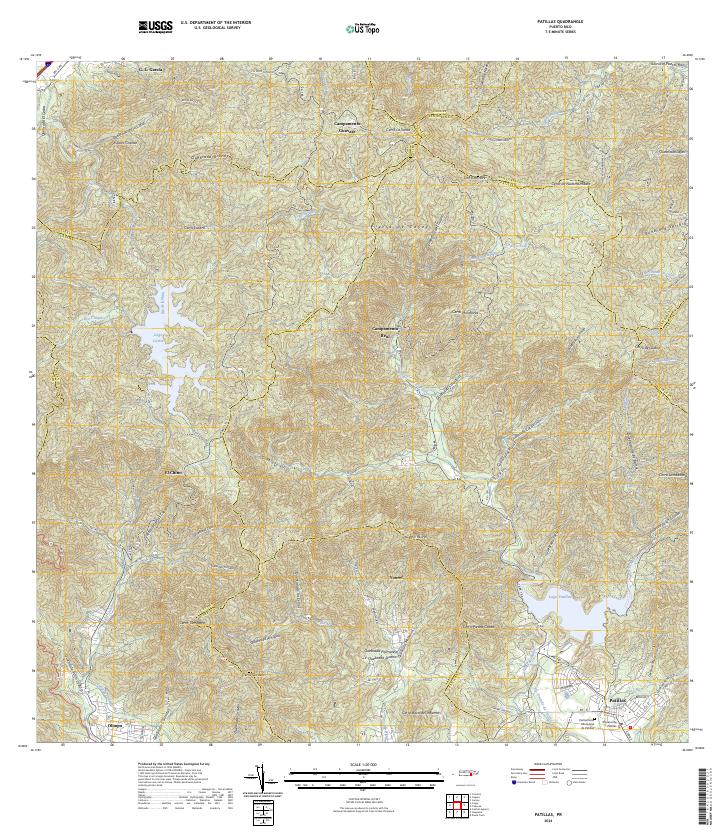 2024 Patillas2024 Print · USGSSoutheastern Puerto Rico is mapped here in the modern day, showing the coastal municipality of Patillas nestled beneath the high Sierra de Cayey. Researchers can trace the local civic layout at the Cementerio Municipal de Patillas or locate rural outposts like Campamento Guavate and Yaurel.
 - 2024 Map of Yabucoa, 2024 Print
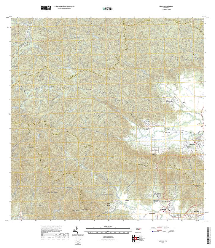 2024 Yabucoa2024 Print · USGSSoutheastern Puerto Rico is defined here by its dramatic transition from mountain peaks to fertile coastal plains. Researchers can trace local heritage through the Cementerio Municipal de Yabucoa, the streets of Maunabo, and rural clusters like Rosa Sanchez.
 - 2024 Map of Caguas, 2024 Print
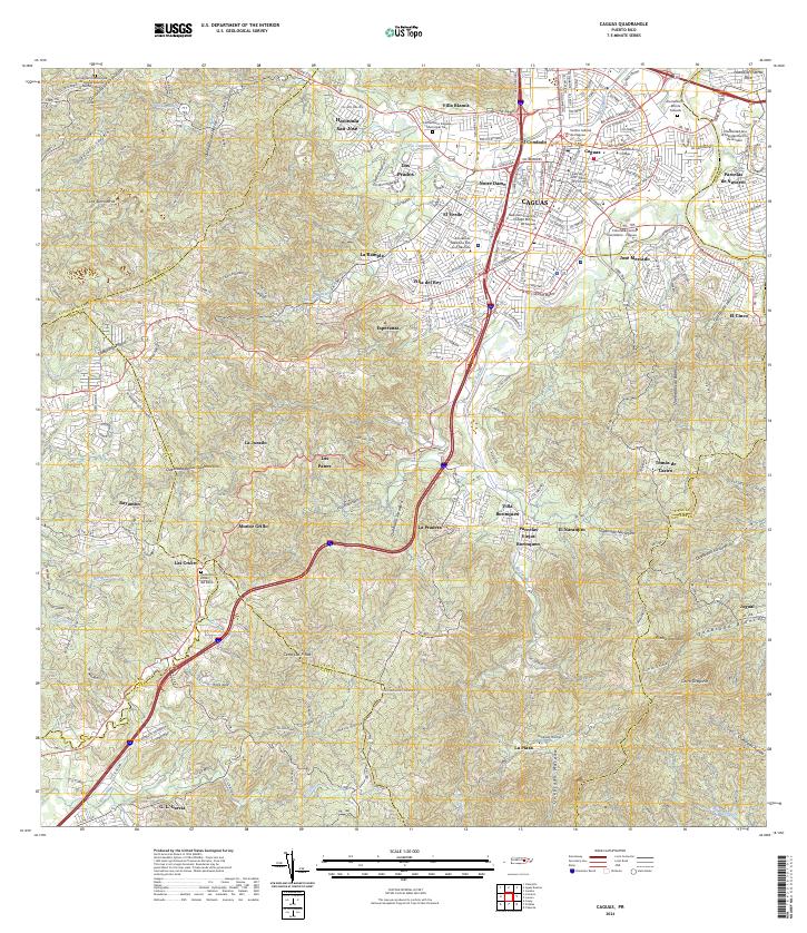 2024 Caguas2024 Print · USGSCaguas and its surrounding hillsides are shown here in the mid-2020s, revealing a landscape where urban growth meets steep tropical terrain. Researchers can locate local landmarks like Hacienda San José, the Liceo de Arte y Comercio, and several municipal cemeteries.
End of results
Showing maps 1-12 of 12
Frequently asked questions
- What are the different types of historical maps available for San Lorenzo?
- What is the oldest map of San Lorenzo?
- Where can I purchase historical maps of San Lorenzo for my home or office?
- Where can I download high-res historical maps of San Lorenzo?
- Are there historical topographic maps available for San Lorenzo?
- Is there historical aerial imagery available for San Lorenzo?
- Where are historical maps of San Lorenzo sourced from?