Old Maps of Mucarabones, Toa Alta for Hiking & Exploration
Hike through history with 18 historic maps of Mucarabones. Explore old trails, ghost towns, and forgotten backroads — perfect for outdoor adventurers and local explorers.
- Rediscover forgotten places: Map out old mining camps, roads, and footpaths that no longer exist on modern maps.
- Layer with modern tools: Combine with LiDAR or satellite views to plan hikes through historical terrain.
- Made for exploration: Popular among hikers, overlanders, and local history lovers.
Use these maps to find adventure and explore the hidden past of Mucarabones.
Mucarabones, Toa Alta maps
(18)- 1941 Map of Bayamon
 1941 Bayamon1941 Print · USGSBayamón and the northern coast of Puerto Rico appear here in the early 1940s as a landscape of sugar centrales and rail lines. Genealogists and historians can trace family locations through numerous named colonias and landmarks like Central Juanita, Colonia La Monserrate, and Iglesia Cristo Rey.2 unique versions available
 - 1946 Map of Naranjito
 1946 Naranjito1946 Print · USGSNaranjito and the surrounding mountains of central Puerto Rico appear in the mid-1940s as a landscape of agricultural colonias and emerging utilities. Researchers can locate numerous rural chapels like the Iglesia Guadiana and trace the path of the Acueducto de San Juan through the hills.3 unique versions available
 - 1947 Map of Bayamon
 1947 Bayamon1947 Print · USGSBayamon and the San Juan coastline are seen here in the late 1930s as a landscape of sugar central mills and coastal colonies. Researchers can trace the American RR line to Central Juanita or locate old community anchors like Pueblo Viejo and El Cañuelo.4 unique versions available
 - 1947 Map of Naranjito NO
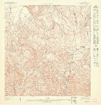 1947 Naranjito NO1947 Print · USGSToa Alta and Naranjito are shown here in the mid-1940s as a patchwork of mountain agriculture and rural faith. Genealogists can trace family footprints near Primera Iglesia de Cristo, the Colonia Piña, and along the winding Rio De La Plata.
 - 1950 Map of Bayamon SO
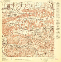 1950 Bayamon SO1950 Print · USGSCoastal plains meet the limestone hills south of San Juan at mid-century, before modern urbanization transformed the landscape. Trace the boundaries of the Reservacion Naval and locate family homesteads near Toa Alta, Sabana Seca, and the Iglesia Evangelica.
 - 1952 Map of Naranjito, 1953 Print
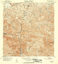 1952 Naranjito1953 Print · USGSNaranjito and the central highlands are captured here in the early fifties, showing a landscape of traditional agricultural colonias and developing barrios. Genealogists can locate specific family landmarks and local institutions like Iglesia de Minillas, Escuela Don Manolo, and the Represa de Comerio.2 unique versions available
 - 1957 Map of Naranjito, 1959 Print
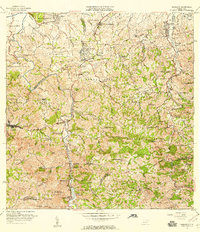 1957 Naranjito1959 Print · USGSNaranjito and the central highlands of Puerto Rico appear in detail during the late 1950s, showing a landscape defined by sharp ridges and deep river valleys. Researchers can trace rural life through landmarks like Iglesia de la Monserrate and the Represa de San Juan reservoir.
 - 1957 Map of Bayamon, 1959 Print
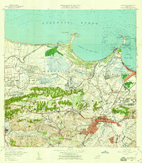 1957 Bayamon1959 Print · USGSBayamón and its coastal surroundings are captured here in the late fifties, showing the area as industrial centers and new suburbs began to reshape the landscape. Researchers can trace family roots in Pueblo Viejo or locate landmarks like Central Juanita and Isla de Cabras.
 - 1963 Map of Bayamon, 1965 Print
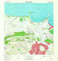 1963 Bayamon1965 Print · USGSBayamón and the surrounding coastal barrios are captured during a period of rapid development and military importance in the early sixties. Researchers can trace family roots through the Puerto Rico National Cemetery or locate historic industrial sites like Central Juanita and the Planta Termelectrica De Palo Seco.
 - 1963 Map of Naranjito, 1965 Print
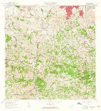 1963 Naranjito1965 Print · USGSNaranjito and the Puerto Rican interior are shown here during a period of rapid development in the 1960s. Researchers can trace rural school locations like Escuela Dajaos Sexto or explore the early power network at Planta Hidroeléctrica Comerío No 2.
 - 1969 Map of Bayamon, 1971 Print
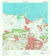 1969 Bayamon1971 Print · USGSBayamón and Toa Baja are seen in a period of intense suburban growth and industrial development during the late sixties. Researchers can trace the layout of Levittown, locate the Puerto Rico National Cemetery, and see the vast US Naval Radio Station (R) Sabana Seca.4 unique versions available
 - 1969 Map of Naranjito, 1972 Print
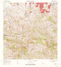 1969 Naranjito1972 Print · USGSThe Naranjito and Bayamón regions undergo significant growth in the late sixties as residential developments meet industrial river infrastructure. Researchers can trace the development of Royal Town or locate the Planta Hidroeléctrica Comerio Num 1 and Escuela Miguel Cervantes Saavedra.3 unique versions available
 - 2013 Map of Naranjito, 2013 Print
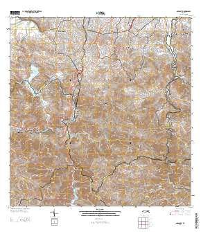 2013 Naranjito2013 Print · USGSCovers Mucarabones, including Naranjito, Villas del Olimpo, and other nearby areas
 - 2013 Map of Bayamon, 2013 Print
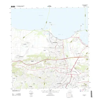 2013 Bayamon2013 Print · USGSBayamón and the northern coast of Puerto Rico appear in high detail during the early twenty-first century. Researchers can trace the urbanization of Levittown, locate the Puerto Rico National Cemetery, and see the coastal reaches of Isla de Cabras.
 - 2018 Map of Bayamon, 2018 Print
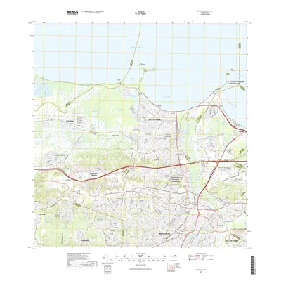 2018 Bayamon2018 Print · USGSThe northern coast of Puerto Rico transitions from the urban density of Bayamón to the coastal waters of the Atlantic Ocean in this contemporary record. Researchers can trace historic sites like the San Juan National Historic Site or locate family roots near the Puerto Rico National Cemetery.
 - 2018 Map of Naranjito, 2018 Print
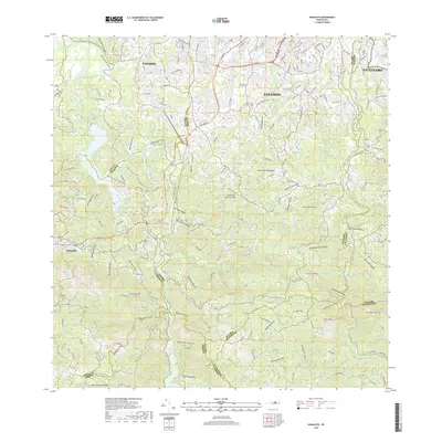 2018 Naranjito2018 Print · USGSThe northern hills of Puerto Rico are mapped here during a period of modern development and complex terrain. Researchers can trace the winding paths of the Rio de la Plata and the Rio de Bayamón past landmarks like Cementerio Los Cipreses and Cerro Mula.
 - 2024 Map of Naranjito, 2024 Print
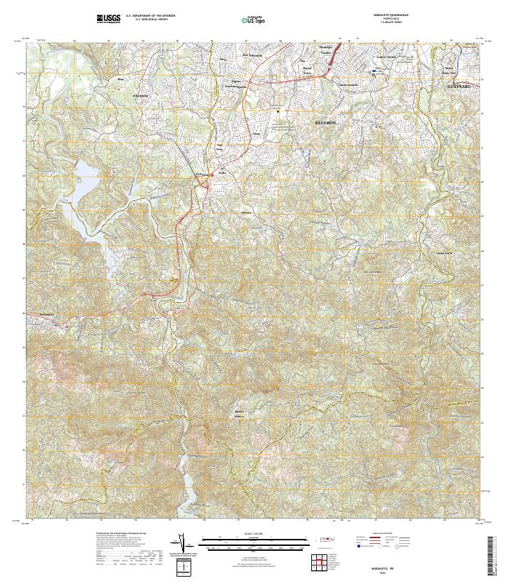 2024 Naranjito2024 Print · USGSThe interior hills of northern Puerto Rico come into focus here, showing the dense network of barrios and waterways as they appear today. Researchers can locate local landmarks like Cementerio Los Cipreses, the Universidad Central del Caribe, and the sprawling residential areas of Santa Juanita.
 - 2024 Map of Bayamon, 2024 Print
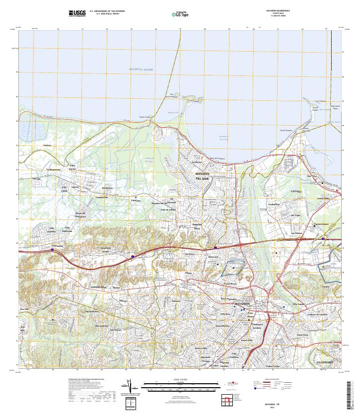 2024 Bayamon2024 Print · USGSBayamón and the northern coast of Puerto Rico are shown here in modern detail, illustrating the region's intense urban and institutional development. Researchers can trace the grounds of Fort Buchanan and the Puerto Rico National Cemetery, or locate historic burials at the Antiguo Cementerio de Bayamón.
End of results
Showing maps 1-18 of 18
Frequently asked questions
- What are the different types of historical maps available for Mucarabones?
- What is the oldest map of Mucarabones?
- Where can I purchase historical maps of Mucarabones for my home or office?
- Where can I download high-res historical maps of Mucarabones?
- Are there historical topographic maps available for Mucarabones?
- Is there historical aerial imagery available for Mucarabones?
- Where are historical maps of Mucarabones sourced from?