Old Maps of Saint Just, Trujillo Alto for Metal Detecting
Plan your next treasure hunt with 25 historic maps of Saint Just. Find old homesites, ghost towns, trails, and gathering spots that may be lost to time — perfect for identifying promising metal detecting locations.
- Locate forgotten sites: Uncover places like long-lost settlements, abandoned rail lines, or gathering spots.
- Plan better hunts: Use map overlays combined with LiDAR or satellite views to narrow in on historically rich areas.
- Made for detectorists: Thousands of hobbyists use these maps to discover relics, coins, and hidden history.
Use these historic maps to boost your research and find new opportunities beneath the surface of Saint Just.
Saint Just, Trujillo Alto maps
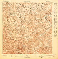
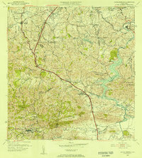
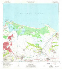
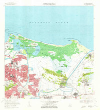
(25)- 1940 Map of Carolina
 1940 Carolina1940 Print · USGSCovers Saint Just, including Carolina, Canóvanas, and other nearby areas
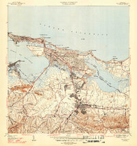
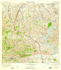
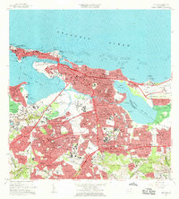
 - 1941 Map of San Juan
 1941 San Juan1941 Print · USGSCovers Saint Just, including San Juan, Cataño, and other nearby areas
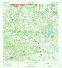
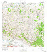
 - 1946 Map of Aguas Buenas
 1946 Aguas Buenas1946 Print · USGSCovers Saint Just, including Guaynabo, Trujillo Alto, and other nearby areas3 unique versions available
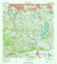
 - 1946 Map of Gurabo
 1946 Gurabo1946 Print · USGSCovers Saint Just, including Gurabo, La Marina, and other nearby areas3 unique versions available
 - 1947 Map of Carolina
 1947 Carolina1947 Print · USGSCovers Saint Just, including Carolina, Canóvanas, and other nearby areas3 unique versions available
 - 1947 Map of Aguas Buenas NE
 1947 Aguas Buenas NE1947 Print · USGSCovers Saint Just, including Trujillo Alto, Brisas de Carraízo, and other nearby areas
 - 1947 Map of San Juan
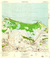
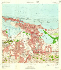
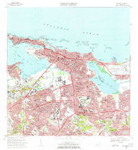
 1947 San Juan1947 Print · USGSCovers Saint Just, including San Juan, Cataño, and other nearby areas2 unique versions available
 - 1949 Map of San Juan, 1952 Print
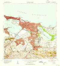 1949 San Juan1952 Print · USGSCovers Saint Just, including San Juan, Cataño, and other nearby areas2 unique versions available
 - 1950 Map of Carolina SO
 1950 Carolina SO1950 Print · USGSCovers Saint Just, including Carolina, Colo, and other nearby areas
 - 1952 Map of Aguas Buenas, 1953 Print
 1952 Aguas Buenas1953 Print · USGSCovers Saint Just, including Guaynabo, Trujillo Alto, and other nearby areas2 unique versions available
 - 1952 Map of Gurabo, 1953 Print
 1952 Gurabo1953 Print · USGSCovers Saint Just, including Gurabo, La Marina, and other nearby areas
 - 1955 Map of Gurabo, 1956 Print
 1955 Gurabo1956 Print · USGSCovers Saint Just, including Gurabo, La Marina, and other nearby areas
 - 1955 Map of Aguas Buenas, 1956 Print
 1955 Aguas Buenas1956 Print · USGSCovers Saint Just, including Guaynabo, Trujillo Alto, and other nearby areas
 - 1957 Map of Aguas Buenas, 1959 Print
 1957 Aguas Buenas1959 Print · USGSCovers Saint Just, including Guaynabo, Trujillo Alto, and other nearby areas
 - 1957 Map of Carolina, 1959 Print
 1957 Carolina1959 Print · USGSCovers Saint Just, including Carolina, Canóvanas, and other nearby areas
 - 1957 Map of Gurabo, 1959 Print
 1957 Gurabo1959 Print · USGSCovers Saint Just, including Gurabo, La Marina, and other nearby areas
 - 1957 Map of San Juan, 1959 Print
 1957 San Juan1959 Print · USGSCovers Saint Just, including San Juan, Cataño, and other nearby areas
 - 1962 Map of Gurabo, 1965 Print
 1962 Gurabo1965 Print · USGSCovers Saint Just, including Gurabo, La Marina, and other nearby areas
 - 1963 Map of Carolina, 1965 Print
 1963 Carolina1965 Print · USGSCovers Saint Just, including Carolina, Canóvanas, and other nearby areas
 - 1963 Map of San Juan, 1965 Print
 1963 San Juan1965 Print · USGSCovers Saint Just, including San Juan, Cataño, and other nearby areas
 - 1964 Map of Aguas Buenas, 1966 Print
 1964 Aguas Buenas1966 Print · USGSCovers Saint Just, including Guaynabo, Trujillo Alto, and other nearby areas
 - 1969 Map of San Juan, 1972 Print
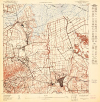
 1969 San Juan1972 Print · USGSCovers Saint Just, including San Juan, Cataño, and other nearby areas3 unique versions available
 - 1969 Map of Carolina, 1972 Print
 1969 Carolina1972 Print · USGSCovers Saint Just, including Carolina, Canóvanas, and other nearby areas3 unique versions available
 - 1969 Map of Gurabo, 1972 Print
 1969 Gurabo1972 Print · USGSCovers Saint Just, including Gurabo, La Marina, and other nearby areas2 unique versions available
 - 1969 Map of Aguas Buenas, 1972 Print
 1969 Aguas Buenas1972 Print · USGSCovers Saint Just, including Guaynabo, Trujillo Alto, and other nearby areas4 unique versions available
End of results
Showing maps 1-25 of 25
Frequently asked questions
- What are the different types of historical maps available for Saint Just?
- What is the oldest map of Saint Just?
- Where can I purchase historical maps of Saint Just for my home or office?
- Where can I download high-res historical maps of Saint Just?
- Are there historical topographic maps available for Saint Just?
- Is there historical aerial imagery available for Saint Just?
- Where are historical maps of Saint Just sourced from?