2000s (21st Century) Maps of Chorreras, Utuado
Explore 3 historic maps of Chorreras from the 2000s (21st Century). These maps offer a rare glimpse into what life looked like during the 2000s — showing old roads, neighborhoods, homes, and landmarks that have changed or disappeared over time.
Whether you're researching your family's past, planning a metal detecting trip, or studying how Chorreras's landscape evolved across the 2000s, these high-resolution maps are a powerful tool for exploring the history of this region.
- Focus on a specific era: All maps on this page are from the 2000s, giving you a focused view of this time period.
- See what’s changed: Compare century-old streets, trails, and buildings to today's modern landscape using overlays and satellite layers.
- Research with precision: Use these maps for genealogy, historical research, land use analysis, or educational projects.
- View, download, or print: Maps are fully viewable online in high resolution, and can be downloaded or printed for your own records.
Start exploring Chorreras's history through authentic maps from the 2000s. This is your window into the past.
Chorreras, Utuado maps
(3)- 2013 Map of Adjuntas, 2013 Print
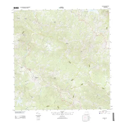 2013 Adjuntas2013 Print · USGSCovers Chorreras, including Adjuntas, Sector Vickey Oquendo, and other nearby areas
 - 2018 Map of Adjuntas, 2018 Print
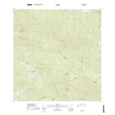 2018 Adjuntas2018 Print · USGSCovers Chorreras, including Adjuntas, Sector Vickey Oquendo, and other nearby areas
 - 2024 Map of Adjuntas, 2024 Print
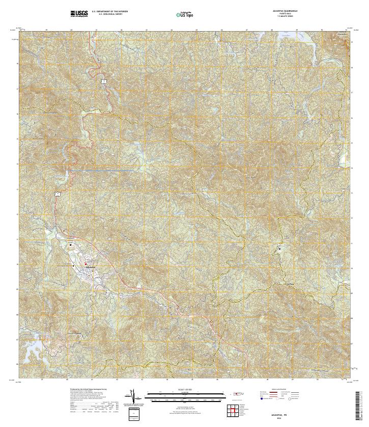 2024 Adjuntas2024 Print · USGSThe mountain town of Adjuntas is shown in the mid-2020s, highlighting the complex network of river valleys and reservoirs. Genealogists can trace family names through landmarks like Cementerio Remanso De Paz and local routes like Cam Lopez.
End of results
Showing maps 1-3 of 3
Top cities near Chorreras
- Ponce historical maps
- Yauco historical maps
- Juana Díaz historical maps
- Utuado historical maps
- Lares historical maps
- Peñuelas historical maps
See more
Frequently asked questions
- What are the different types of historical maps available for Chorreras?
- What is the oldest map of Chorreras?
- Where can I purchase historical maps of Chorreras for my home or office?
- Where can I download high-res historical maps of Chorreras?
- Are there historical topographic maps available for Chorreras?
- Is there historical aerial imagery available for Chorreras?
- Where are historical maps of Chorreras sourced from?