Old Maps of North Grapetree Bay, Saint Croix District
Explore 3 old maps of North Grapetree Bay, spanning from 1958 to today. These high-resolution historic maps reveal how streets, neighborhoods, landmarks, and natural features evolved over time — perfect for genealogy, metal detecting, research, and local history exploration.
What you can do with these maps:
- See how North Grapetree Bay changed over time: Compare historical maps to modern-day views to trace roads, homesites, rail lines & more.
- View detailed metadata: Each map includes creators, publishers, year, scale, and archive source.
- Overlay maps with satellite & LiDAR: Visualize the past alongside modern tools to explore terrain & human change.
- Trusted historical sources: Maps sourced from the USGS, Library of Congress, and other archives.
- Access maps your way: View online, download high-res files, or order prints for personal or research use.
Start exploring old maps of North Grapetree Bay to uncover forgotten places, hidden landmarks, and the deep history beneath your feet.
North Grapetree Bay, Saint Croix District maps
(3)- 1958 Map of East Point, 1959 Print
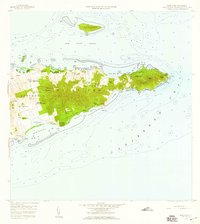 1958 East Point1959 Print · USGSThe eastern reaches of Saint Croix are captured in the late fifties, showing a landscape of traditional estates and rugged coastal topography. Genealogists can trace family landholdings and small settlements like All for the Better, Sallys Fancy, and Madame Carty.5 unique versions available
 - 2013 Map of Buck Island, 2013 Print
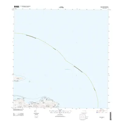 2013 Buck Island2013 Print · USGSCovers North Grapetree Bay, including Cotton Valley, North Slob, and other nearby areas
 - 2024 Map of Buck Island, 2024 Print
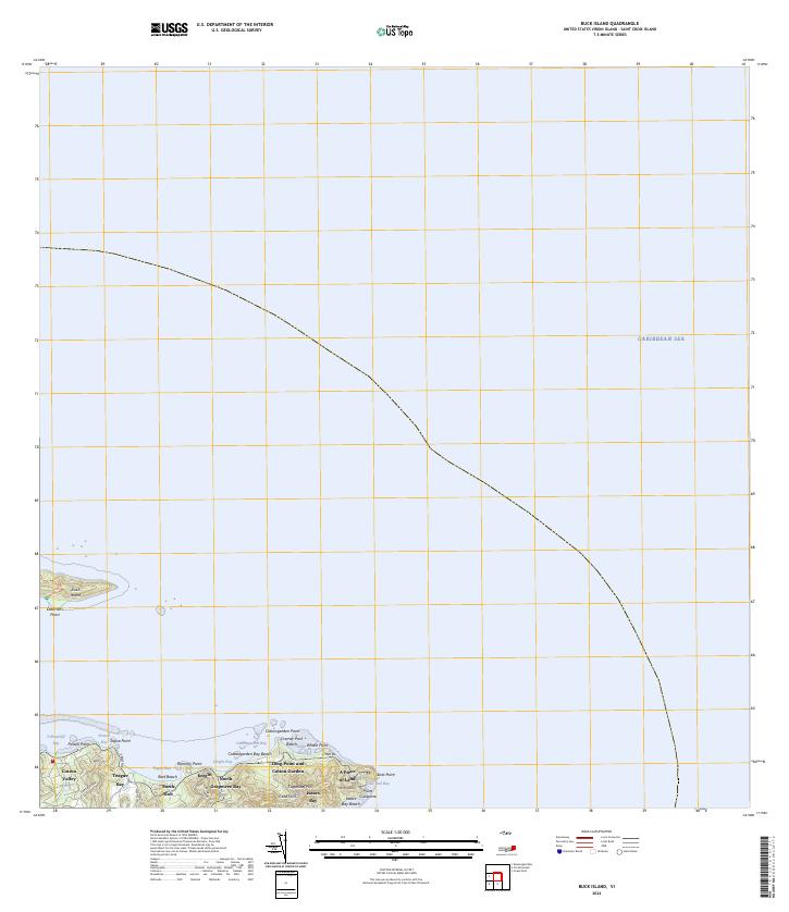 2024 Buck Island2024 Print · USGSThe eastern tip of Saint Croix and its surrounding waters are charted in this contemporary survey. Maritime and local historians can trace the shoreline from Cramer Park Beach to East Point, while exploring the boundaries of the Buck Island Reef National Monument.
End of results
Showing maps 1-3 of 3
Frequently asked questions
- What are the different types of historical maps available for North Grapetree Bay?
- What is the oldest map of North Grapetree Bay?
- Where can I purchase historical maps of North Grapetree Bay for my home or office?
- Where can I download high-res historical maps of North Grapetree Bay?
- Are there historical topographic maps available for North Grapetree Bay?
- Is there historical aerial imagery available for North Grapetree Bay?
- Where are historical maps of North Grapetree Bay sourced from?