Old Maps of Seven Flags, Saint Croix District for Academic Research
Study the evolution of Seven Flags with 3 high-resolution historic maps. Whether you're teaching, researching, or modeling changes in land use, these maps provide essential visual documentation of urban, environmental, and geographic change.
- Analyze long-term change: Track patterns in development, transportation, and natural features.
- Ideal for environmental or urban studies: Support academic projects with primary historical map data.
- Use in the classroom or lab: Educators and researchers rely on these maps to bring historical context to life.
These maps are a powerful tool for teaching, research, and visualizing how Seven Flags has changed over the decades.
Seven Flags, Saint Croix District maps
(3)- 1958 Map of East Point, 1959 Print
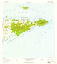 1958 East Point1959 Print · USGSThe eastern reaches of Saint Croix are captured in the late fifties, showing a landscape of traditional estates and rugged coastal topography. Genealogists can trace family landholdings and small settlements like All for the Better, Sallys Fancy, and Madame Carty.5 unique versions available
 - 2013 Map of Beauregard Bay, 2013 Print
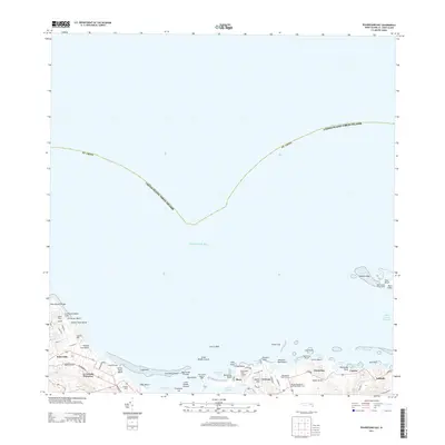 2013 Beauregard Bay2013 Print · USGSCovers Seven Flags, including Mount Pleasant, Green Kay, and other nearby areas
 - 2024 Map of Beauregard Bay, 2024 Print
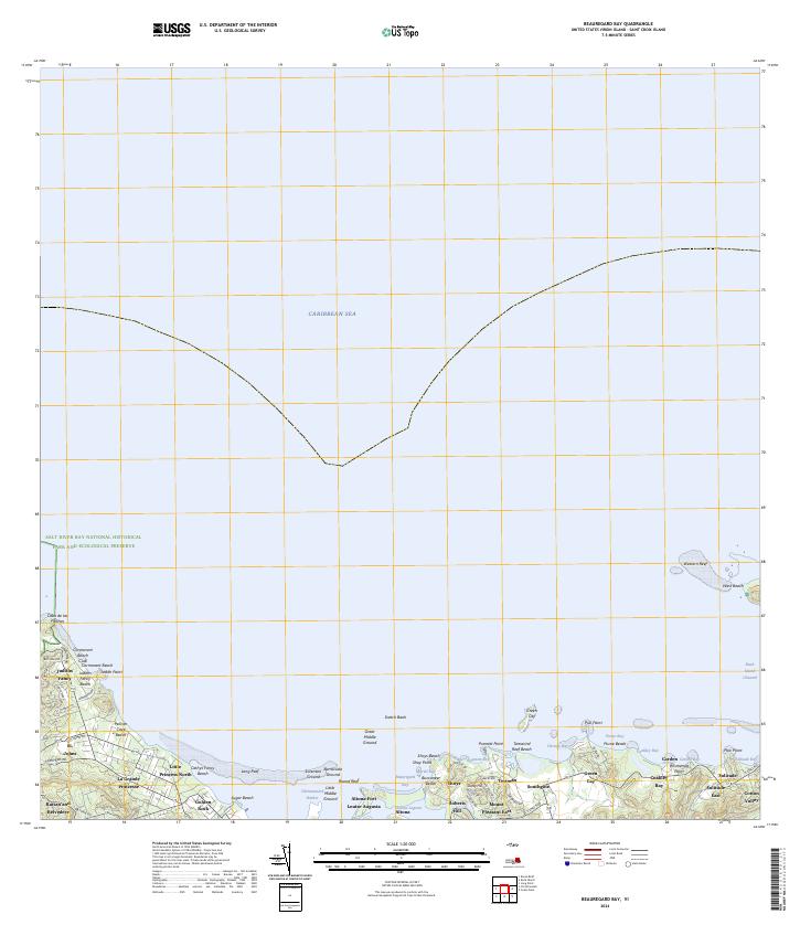 2024 Beauregard Bay2024 Print · USGSCoastal Saint Croix is captured here in modern detail, showcasing the intersection of historical estates and protected marine environments. Researchers can trace the layout of Judiths Fancy and Altona Fort or explore the boundaries of the Buck Island Reef National Monument.
End of results
Showing maps 1-3 of 3
Frequently asked questions
- What are the different types of historical maps available for Seven Flags?
- What is the oldest map of Seven Flags?
- Where can I purchase historical maps of Seven Flags for my home or office?
- Where can I download high-res historical maps of Seven Flags?
- Are there historical topographic maps available for Seven Flags?
- Is there historical aerial imagery available for Seven Flags?
- Where are historical maps of Seven Flags sourced from?