2000s (21st Century) Maps of Daphne, Alabama
Explore 20 historic maps of Daphne from the 2000s (21st Century). These maps offer a rare glimpse into what life looked like during the 2000s — showing old roads, neighborhoods, homes, and landmarks that have changed or disappeared over time.
Whether you're researching your family's past, planning a metal detecting trip, or studying how Daphne's landscape evolved across the 2000s, these high-resolution maps are a powerful tool for exploring the history of this region.
- Focus on a specific era: All maps on this page are from the 2000s, giving you a focused view of this time period.
- See what’s changed: Compare century-old streets, trails, and buildings to today's modern landscape using overlays and satellite layers.
- Research with precision: Use these maps for genealogy, historical research, land use analysis, or educational projects.
- View, download, or print: Maps are fully viewable online in high resolution, and can be downloaded or printed for your own records.
Start exploring Daphne's history through authentic maps from the 2000s. This is your window into the past.
Daphne, AL maps
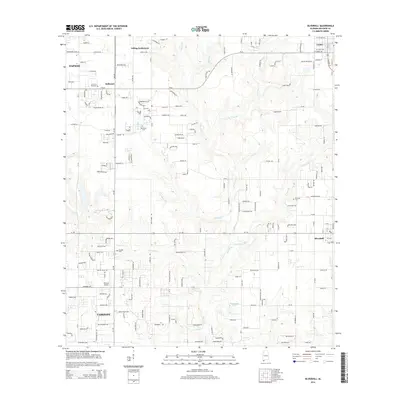
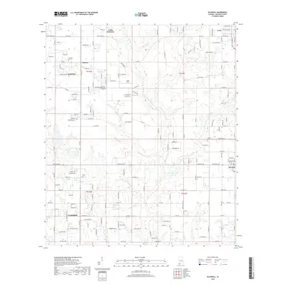
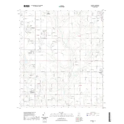
(20)- 2011 Map of Silverhill, 2011 Print
 2011 Silverhill2011 Print · USGSCovers Daphne, including Fairhope, Loxley, and other nearby areas
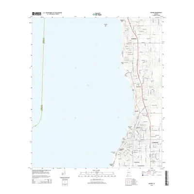
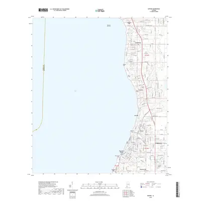
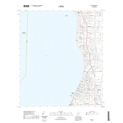
 - 2011 Map of Daphne, 2011 Print
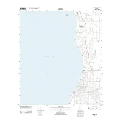 2011 Daphne2011 Print · USGSCovers Daphne, including Mobile, Fairhope, and other nearby areas
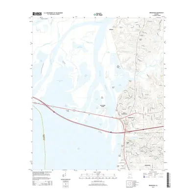
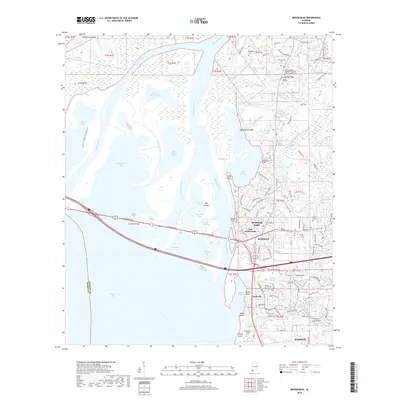
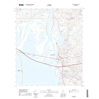
 - 2011 Map of Bridgehead, 2011 Print
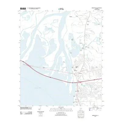 2011 Bridgehead2011 Print · USGSCovers Daphne, including Mobile, Spanish Fort, and other nearby areas
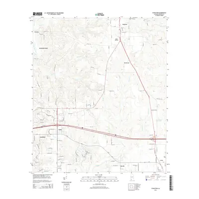
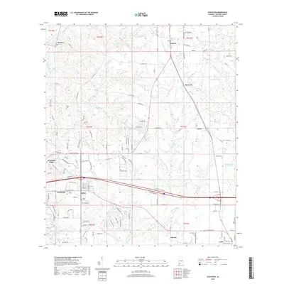
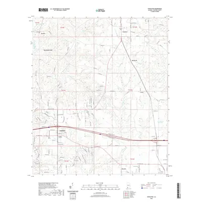
 - 2011 Map of Stapleton, 2011 Print
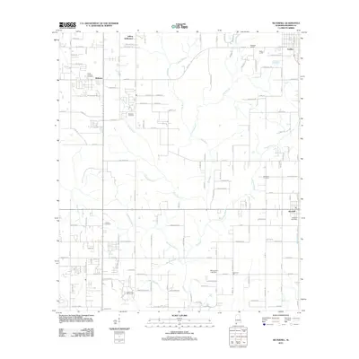
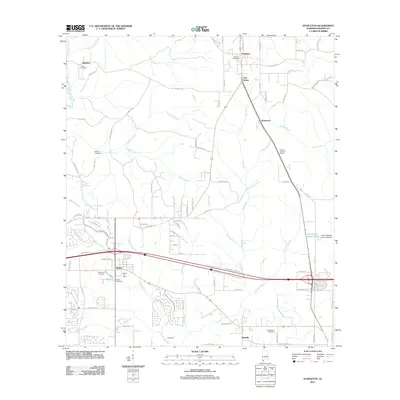 2011 Stapleton2011 Print · USGSCovers Daphne, including Spanish Fort, Loxley, and other nearby areas
 - 2014 Map of Daphne, 2014 Print
 2014 Daphne2014 Print · USGSCovers Daphne, including Mobile, Fairhope, and other nearby areas
 - 2014 Map of Bridgehead, 2014 Print
 2014 Bridgehead2014 Print · USGSCovers Daphne, including Mobile, Spanish Fort, and other nearby areas
 - 2014 Map of Stapleton, 2014 Print
 2014 Stapleton2014 Print · USGSCovers Daphne, including Spanish Fort, Loxley, and other nearby areas
 - 2014 Map of Silverhill, 2014 Print
 2014 Silverhill2014 Print · USGSCovers Daphne, including Fairhope, Loxley, and other nearby areas
 - 2018 Map of Daphne, 2018 Print
 2018 Daphne2018 Print · USGSCovers Daphne, including Mobile, Fairhope, and other nearby areas
 - 2018 Map of Bridgehead, 2018 Print
 2018 Bridgehead2018 Print · USGSCovers Daphne, including Mobile, Spanish Fort, and other nearby areas
 - 2018 Map of Silverhill, 2018 Print
 2018 Silverhill2018 Print · USGSCovers Daphne, including Fairhope, Loxley, and other nearby areas
 - 2018 Map of Stapleton, 2018 Print
 2018 Stapleton2018 Print · USGSCovers Daphne, including Spanish Fort, Loxley, and other nearby areas
 - 2020 Map of Daphne, 2020 Print
 2020 Daphne2020 Print · USGSCovers Daphne, including Mobile, Fairhope, and other nearby areas
 - 2020 Map of Bridgehead, 2020 Print
 2020 Bridgehead2020 Print · USGSCovers Daphne, including Mobile, Spanish Fort, and other nearby areas
 - 2020 Map of Stapleton, 2020 Print
 2020 Stapleton2020 Print · USGSCovers Daphne, including Spanish Fort, Loxley, and other nearby areas
 - 2020 Map of Silverhill, 2020 Print
 2020 Silverhill2020 Print · USGSCovers Daphne, including Fairhope, Loxley, and other nearby areas
 - 2024 Map of Silverhill, 2024 Print
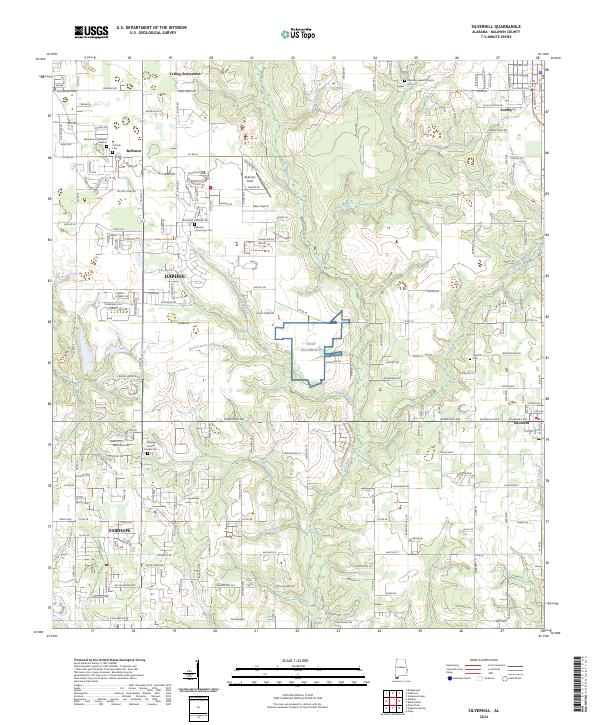 2024 Silverhill2024 Print · USGSBaldwin County at the modern era shows a landscape of established farmsteads and quiet settlements between the Fish River and Fly Creek. Researchers can trace local lineage through sites like Yelling Settlement and the Fairhope Friends Quaker Cem.
 - 2024 Map of Daphne, 2024 Print
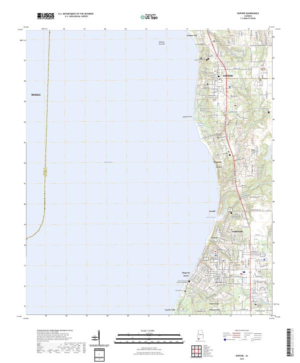 2024 Daphne2024 Print · USGSThe Eastern Shore of Mobile Bay is captured in this recent survey, showing the interconnected communities of Daphne and Fairhope. Genealogists can locate family landmarks like the Friendship Cem, Montrose Cem, and the storied Jackson Oak.
 - 2024 Map of Stapleton, 2024 Print
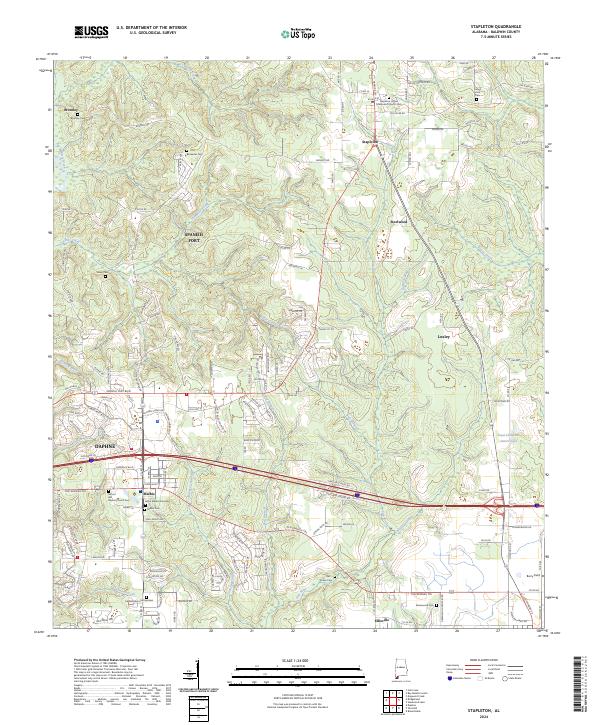 2024 Stapleton2024 Print · USGSBaldwin County at the modern era shows the intricate growth of Stapleton and Malbis along the historic Old Spanish Trail. Genealogists can locate numerous burial sites like Sibley Cem and the Jason Malbis Gravesite among the creeks.
 - 2024 Map of Bridgehead, 2024 Print
 2024 Bridgehead2024 Print · USGSThe Mobile River delta and eastern shore communities are captured here in the contemporary era. Researchers can trace land use from the State Veterans Memorial Cem to landmarks like Fort McDermott and Saluda Hill Cem.
End of results
Showing maps 1-20 of 20
Top cities near Daphne
- Mobile historical maps
- Fairhope historical maps
- Foley historical maps
- Prichard historical maps
- Saraland historical maps
- Spanish Fort historical maps
See more
Top neighborhoods of Daphne
Frequently asked questions
- What are the different types of historical maps available for Daphne?
- What is the oldest map of Daphne?
- Where can I purchase historical maps of Daphne for my home or office?
- Where can I download high-res historical maps of Daphne?
- Are there historical topographic maps available for Daphne?
- Is there historical aerial imagery available for Daphne?
- Where are historical maps of Daphne sourced from?