2000s (21st Century) Maps of Brent, Alabama
Explore 6 historic maps of Brent from the 2000s (21st Century). These maps offer a rare glimpse into what life looked like during the 2000s — showing old roads, neighborhoods, homes, and landmarks that have changed or disappeared over time.
Whether you're researching your family's past, planning a metal detecting trip, or studying how Brent's landscape evolved across the 2000s, these high-resolution maps are a powerful tool for exploring the history of this region.
- Focus on a specific era: All maps on this page are from the 2000s, giving you a focused view of this time period.
- See what’s changed: Compare century-old streets, trails, and buildings to today's modern landscape using overlays and satellite layers.
- Research with precision: Use these maps for genealogy, historical research, land use analysis, or educational projects.
- View, download, or print: Maps are fully viewable online in high resolution, and can be downloaded or printed for your own records.
Start exploring Brent's history through authentic maps from the 2000s. This is your window into the past.
Brent, AL maps
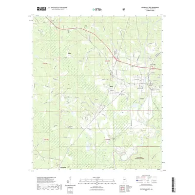
(6)- 2002 Map of Centreville West, 2004 Print
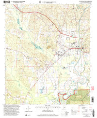 2002 Centreville West2004 Print · USGSBibb County at the turn of the century shows the enduring layout of Brent and Centreville along the winding Cahaba River. Genealogists can trace family roots through sites like Weldon Cem, Saints Assembly Ch, and the rural community of Harrisburg.
 - 2011 Map of Centreville West, 2011 Print
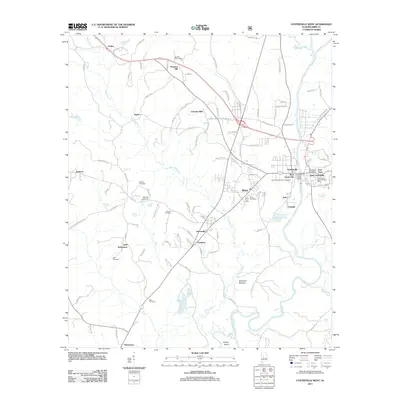 2011 Centreville West2011 Print · USGSCovers Brent, including Centreville, West Centreville, and other nearby areas
 - 2014 Map of Centreville West, 2014 Print
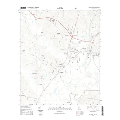 2014 Centreville West2014 Print · USGSCovers Brent, including Centreville, West Centreville, and other nearby areas
 - 2018 Map of Centreville West, 2018 Print
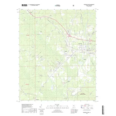 2018 Centreville West2018 Print · USGSCovers Brent, including Centreville, West Centreville, and other nearby areas
 - 2021 Map of Centreville West, 2021 Print
 2021 Centreville West2021 Print · USGSCovers Brent, including Centreville, West Centreville, and other nearby areas
 - 2024 Map of Centreville West, 2024 Print
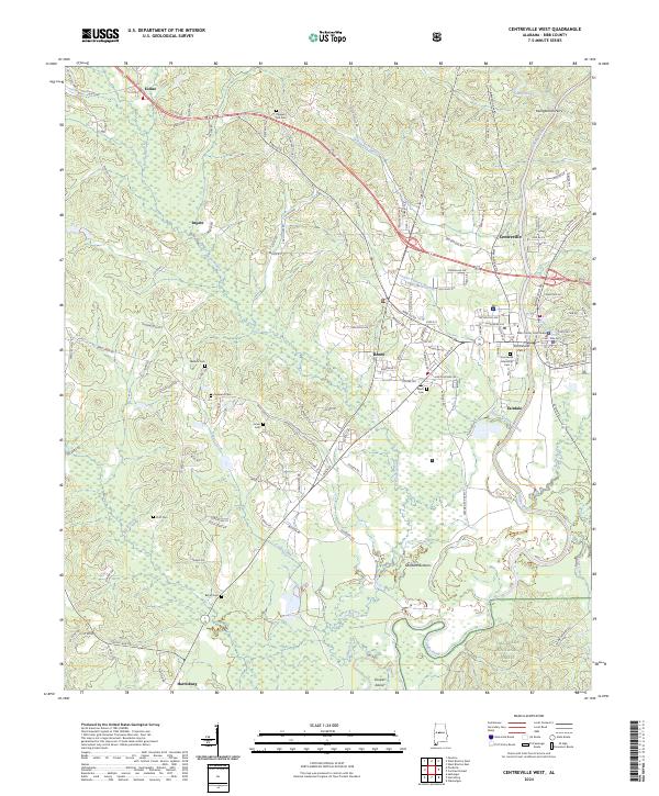 2024 Centreville West2024 Print · USGSBibb County in the 2020s centers on the river-bend towns of Centreville and Brent at a moment of modern growth. Genealogists can trace family names through numerous rural landmarks like Pleasant Hill Cem, Hopewell Cem, and Little Hope Church.
End of results
Showing maps 1-6 of 6
Top cities near Brent
- Tuscaloosa historical maps
- Centreville historical maps
- Vance historical maps
- Coaling historical maps
- West Blocton historical maps
Top neighborhoods of Brent
Frequently asked questions
- What are the different types of historical maps available for Brent?
- What is the oldest map of Brent?
- Where can I purchase historical maps of Brent for my home or office?
- Where can I download high-res historical maps of Brent?
- Are there historical topographic maps available for Brent?
- Is there historical aerial imagery available for Brent?
- Where are historical maps of Brent sourced from?