2020s Maps of Centreville, Alabama
Explore 4 historic maps of Centreville from the 2020s. These maps offer a rare glimpse into what life looked like during the 2020s — showing old roads, neighborhoods, homes, and landmarks that have changed or disappeared over time.
Whether you're researching your family's past, planning a metal detecting trip, or studying how Centreville's landscape evolved across the 2020s, these high-resolution maps are a powerful tool for exploring the history of this region.
- Focus on a specific era: All maps on this page are from the 2020s, giving you a focused view of this time period.
- See what’s changed: Compare century-old streets, trails, and buildings to today's modern landscape using overlays and satellite layers.
- Research with precision: Use these maps for genealogy, historical research, land use analysis, or educational projects.
- View, download, or print: Maps are fully viewable online in high resolution, and can be downloaded or printed for your own records.
Start exploring Centreville's history through authentic maps from the 2020s. This is your window into the past.
Centreville, AL maps
(4)- 2021 Map of Centreville East, 2021 Print
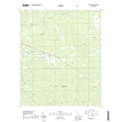 2021 Centreville East2021 Print · USGSCovers Centreville, including Vick, Gary Springs, and other nearby areas
 - 2021 Map of Centreville West, 2021 Print
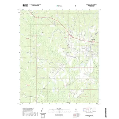 2021 Centreville West2021 Print · USGSCovers Centreville, including Brent, West Centreville, and other nearby areas
 - 2024 Map of Centreville West, 2024 Print
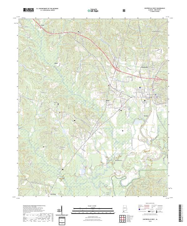 2024 Centreville West2024 Print · USGSBibb County in the 2020s centers on the river-bend towns of Centreville and Brent at a moment of modern growth. Genealogists can trace family names through numerous rural landmarks like Pleasant Hill Cem, Hopewell Cem, and Little Hope Church.
 - 2024 Map of Centreville East, 2024 Print
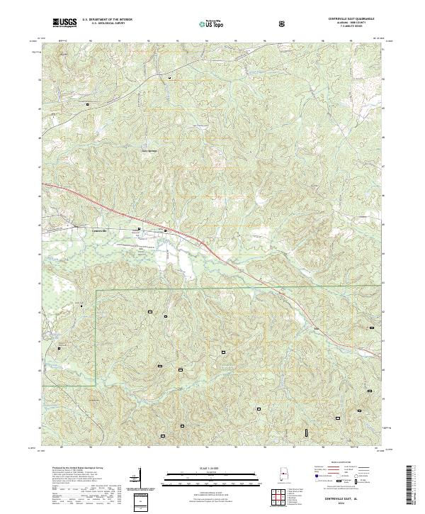 2024 Centreville East2024 Print · USGSBibb County’s forested ridges and ancestral cemeteries are captured in this recent survey of the area east of Centreville. Researchers can trace family history at Crockett McKinney Cem or locate the old settlement at Gary Springs near Six Mile Run.
End of results
Showing maps 1-4 of 4
Top cities near Centreville
- Tuscaloosa historical maps
- Montevallo historical maps
- Brent historical maps
- Brookwood historical maps
- Vance historical maps
- Coaling historical maps
See more
Top neighborhoods of Centreville
- West Centreville historical maps
- Fairdale historical maps
- Vick historical maps
- East Centreville historical maps
- East Town historical maps
Frequently asked questions
- What are the different types of historical maps available for Centreville?
- What is the oldest map of Centreville?
- Where can I purchase historical maps of Centreville for my home or office?
- Where can I download high-res historical maps of Centreville?
- Are there historical topographic maps available for Centreville?
- Is there historical aerial imagery available for Centreville?
- Where are historical maps of Centreville sourced from?