2000s (21st Century) Maps of Cox, Alabama
Explore 6 historic maps of Cox from the 2000s (21st Century). These maps offer a rare glimpse into what life looked like during the 2000s — showing old roads, neighborhoods, homes, and landmarks that have changed or disappeared over time.
Whether you're researching your family's past, planning a metal detecting trip, or studying how Cox's landscape evolved across the 2000s, these high-resolution maps are a powerful tool for exploring the history of this region.
- Focus on a specific era: All maps on this page are from the 2000s, giving you a focused view of this time period.
- See what’s changed: Compare century-old streets, trails, and buildings to today's modern landscape using overlays and satellite layers.
- Research with precision: Use these maps for genealogy, historical research, land use analysis, or educational projects.
- View, download, or print: Maps are fully viewable online in high resolution, and can be downloaded or printed for your own records.
Start exploring Cox's history through authentic maps from the 2000s. This is your window into the past.
Cox, AL maps
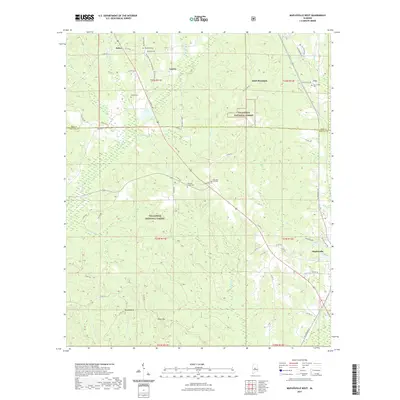
(6)- 2002 Map of Maplesville West, 2003 Print
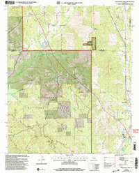 2002 Maplesville West2003 Print · USGSThe borderlands of Bibb and Chilton counties appear here at the start of the new millennium, dominated by the timber stands of the Talladega National Forest. Genealogists and local historians can locate rural landmarks like Rehobeth Ch, the Pleasant Hill Cem, and the timber-country outpost of Lawley.
 - 2011 Map of Maplesville West, 2011 Print
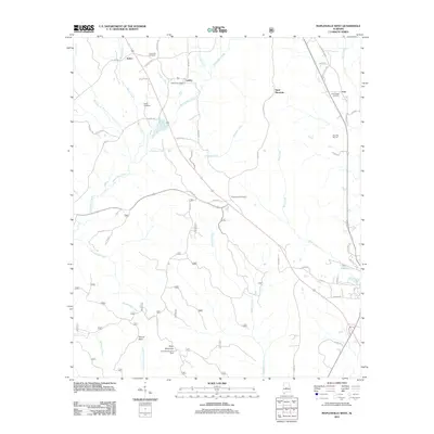 2011 Maplesville West2011 Print · USGSCovers Cox, including Maplesville, Active, and other nearby areas
 - 2014 Map of Maplesville West, 2014 Print
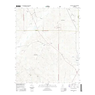 2014 Maplesville West2014 Print · USGSCovers Cox, including Maplesville, Active, and other nearby areas
 - 2018 Map of Maplesville West, 2018 Print
 2018 Maplesville West2018 Print · USGSCovers Cox, including Maplesville, Active, and other nearby areas
 - 2021 Map of Maplesville West, 2021 Print
 2021 Maplesville West2021 Print · USGSCovers Cox, including Maplesville, Active, and other nearby areas
 - 2024 Map of Maplesville West, 2024 Print
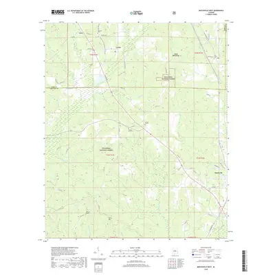
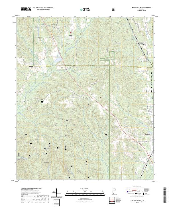 2024 Maplesville West2024 Print · USGSChilton and Bibb counties meet in this 2024 map of the Alabama timberlands. Genealogists and historians can locate numerous rural burial sites and landmarks like Cox Chapel Cem, Active, and Round Rock.
End of results
Showing maps 1-6 of 6
Top cities near Cox
- Calera historical maps
- Clanton historical maps
- Centreville historical maps
- Jemison historical maps
- Thorsby historical maps
- Maplesville historical maps
See more
Frequently asked questions
- What are the different types of historical maps available for Cox?
- What is the oldest map of Cox?
- Where can I purchase historical maps of Cox for my home or office?
- Where can I download high-res historical maps of Cox?
- Are there historical topographic maps available for Cox?
- Is there historical aerial imagery available for Cox?
- Where are historical maps of Cox sourced from?