2000s (21st Century) Maps of West Blocton, Alabama
Explore 20 historic maps of West Blocton from the 2000s (21st Century). These maps offer a rare glimpse into what life looked like during the 2000s — showing old roads, neighborhoods, homes, and landmarks that have changed or disappeared over time.
Whether you're researching your family's past, planning a metal detecting trip, or studying how West Blocton's landscape evolved across the 2000s, these high-resolution maps are a powerful tool for exploring the history of this region.
- Focus on a specific era: All maps on this page are from the 2000s, giving you a focused view of this time period.
- See what’s changed: Compare century-old streets, trails, and buildings to today's modern landscape using overlays and satellite layers.
- Research with precision: Use these maps for genealogy, historical research, land use analysis, or educational projects.
- View, download, or print: Maps are fully viewable online in high resolution, and can be downloaded or printed for your own records.
Start exploring West Blocton's history through authentic maps from the 2000s. This is your window into the past.
West Blocton, AL maps
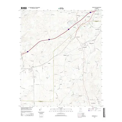
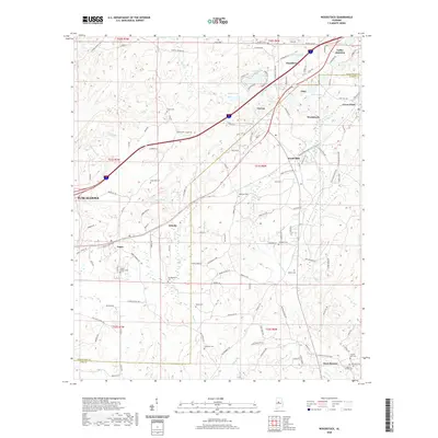
(20)- 2011 Map of Woodstock, 2011 Print
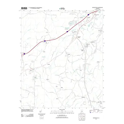 2011 Woodstock2011 Print · USGSCovers West Blocton, including Tuscaloosa, Vance, and other nearby areas
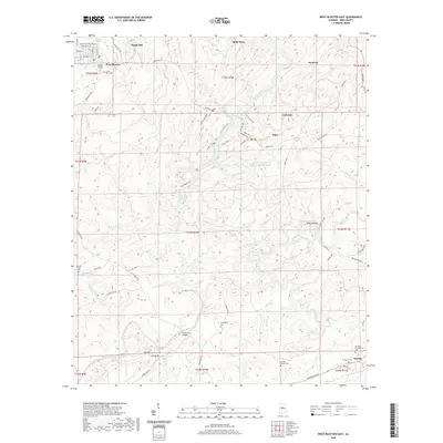
 - 2011 Map of West Blocton East, 2011 Print
 2011 West Blocton East2011 Print · USGSCovers West Blocton, including Piper, Belle Ellen, and other nearby areas
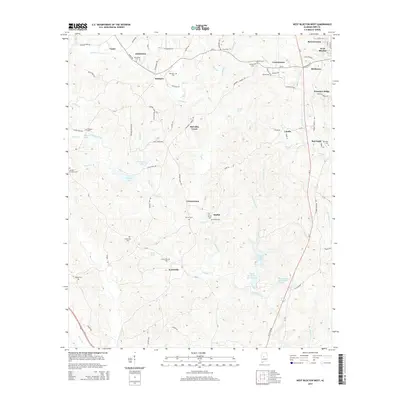
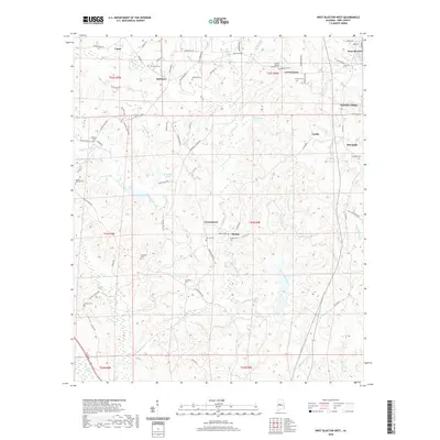
 - 2011 Map of West Blocton West, 2011 Print
 2011 West Blocton West2011 Print · USGSCovers West Blocton, including Vance, Lowerytown, and other nearby areas
 - 2011 Map of Halfmile Shoals, 2011 Print
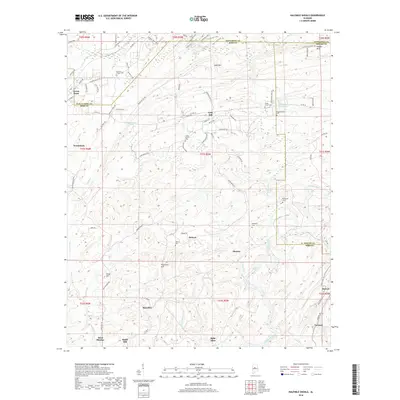
 2011 Halfmile Shoals2011 Print · USGSCovers West Blocton, including Woodstock, Gray Hill, and other nearby areas
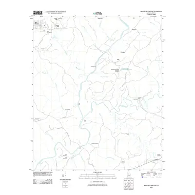
 - 2014 Map of West Blocton West, 2014 Print
 2014 West Blocton West2014 Print · USGSCovers West Blocton, including Vance, Lowerytown, and other nearby areas
 - 2014 Map of West Blocton East, 2014 Print
 2014 West Blocton East2014 Print · USGSCovers West Blocton, including Piper, Belle Ellen, and other nearby areas
 - 2014 Map of Halfmile Shoals, 2014 Print
 2014 Halfmile Shoals2014 Print · USGSCovers West Blocton, including Woodstock, Gray Hill, and other nearby areas
 - 2014 Map of Woodstock, 2014 Print
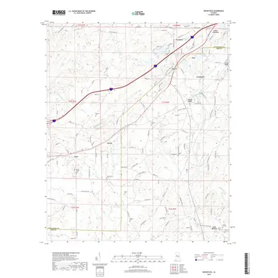
 2014 Woodstock2014 Print · USGSCovers West Blocton, including Tuscaloosa, Vance, and other nearby areas
 - 2018 Map of Halfmile Shoals, 2018 Print
 2018 Halfmile Shoals2018 Print · USGSCovers West Blocton, including Woodstock, Gray Hill, and other nearby areas
 - 2018 Map of West Blocton West, 2018 Print
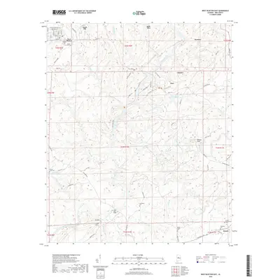
 2018 West Blocton West2018 Print · USGSCovers West Blocton, including Vance, Lowerytown, and other nearby areas
 - 2018 Map of West Blocton East, 2018 Print
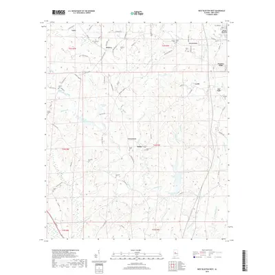
 2018 West Blocton East2018 Print · USGSCovers West Blocton, including Piper, Belle Ellen, and other nearby areas
 - 2018 Map of Woodstock, 2018 Print
 2018 Woodstock2018 Print · USGSCovers West Blocton, including Tuscaloosa, Vance, and other nearby areas
 - 2020 Map of West Blocton East, 2020 Print
 2020 West Blocton East2020 Print · USGSCovers West Blocton, including Piper, Belle Ellen, and other nearby areas
 - 2020 Map of West Blocton West, 2020 Print
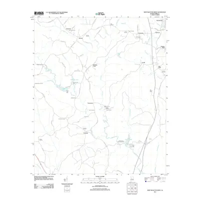
 2020 West Blocton West2020 Print · USGSCovers West Blocton, including Vance, Lowerytown, and other nearby areas
 - 2020 Map of Halfmile Shoals, 2020 Print
 2020 Halfmile Shoals2020 Print · USGSCovers West Blocton, including Woodstock, Gray Hill, and other nearby areas
 - 2020 Map of Woodstock, 2020 Print
 2020 Woodstock2020 Print · USGSCovers West Blocton, including Tuscaloosa, Vance, and other nearby areas
 - 2024 Map of West Blocton West, 2024 Print
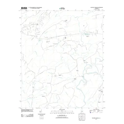
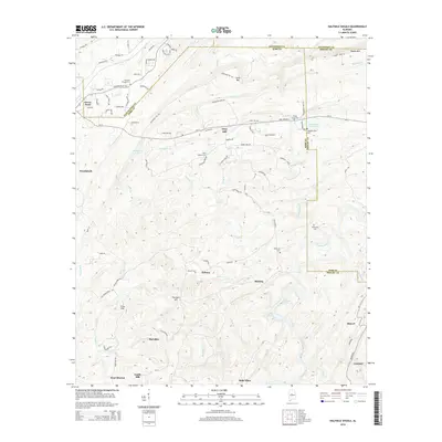
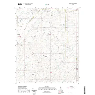
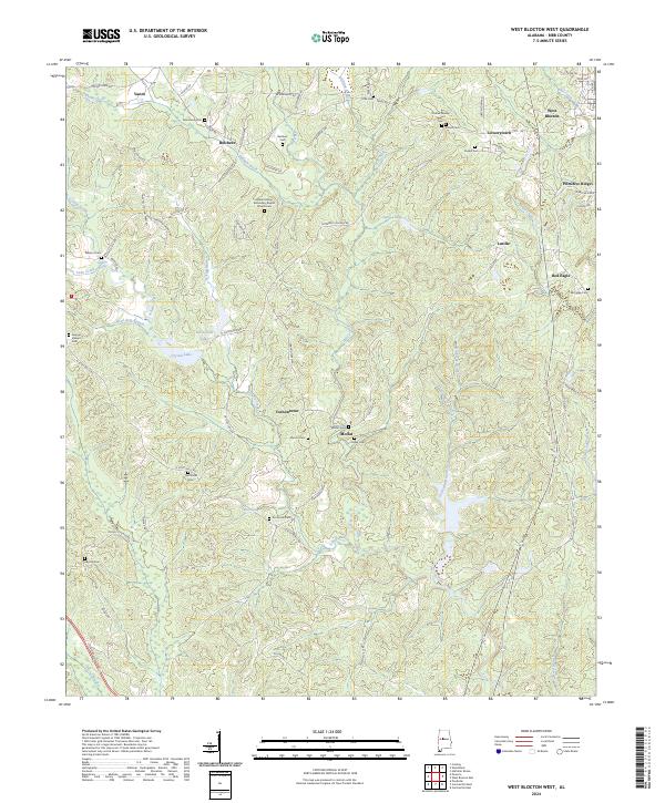 2024 West Blocton West2024 Print · USGSBibb County's rural communities and family cemeteries are documented here in the early twenty-first century. Researchers can trace ancestral roots through sites like Johnstown Cem, Moffat Cem, and the community surrounding Vernontown.
 - 2024 Map of Halfmile Shoals, 2024 Print
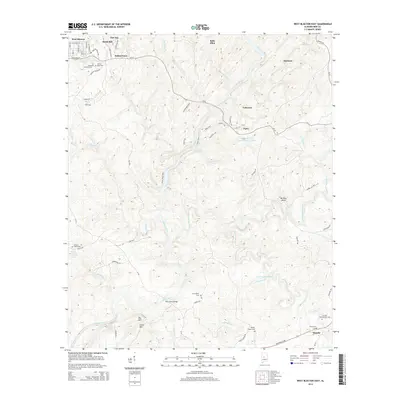
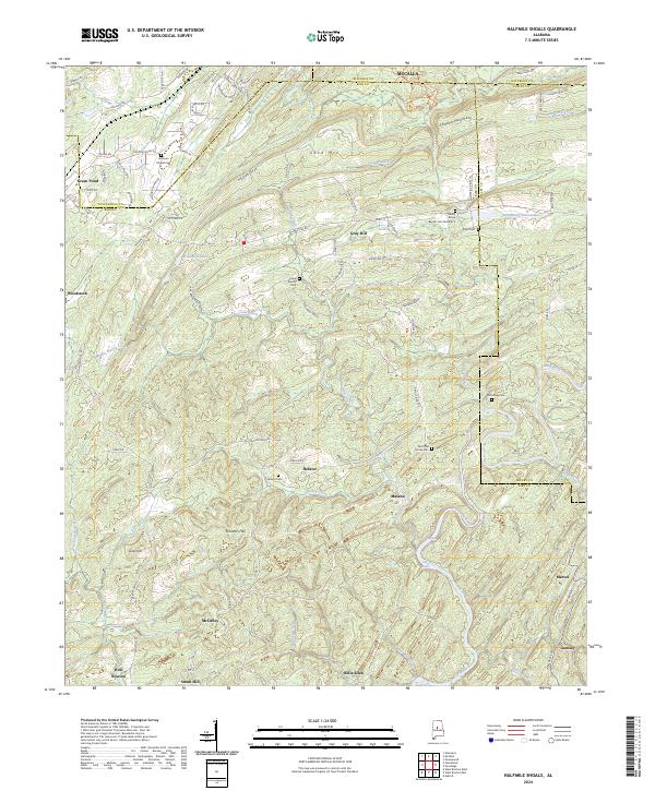 2024 Halfmile Shoals2024 Print · USGSThe rugged coal and iron country of the Alabama interior is shown here in the 2020s where four counties meet. Researchers can trace family history through numerous remote burial sites like Hebron Cem and Acker Cem near old settlements like Belle Ellen.
 - 2024 Map of West Blocton East, 2024 Print
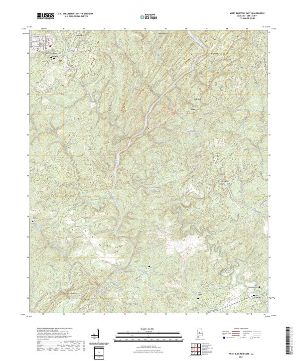 2024 West Blocton East2024 Print · USGSThe Cahaba River corridor in Bibb County remains a landscape of deep ancestry and riverine history in the early twenty-first century. Genealogists can trace family connections at Italian Catholic Cem, Thompson Cem, or the old settlement at Pratt Ferry.
 - 2024 Map of Woodstock, 2024 Print
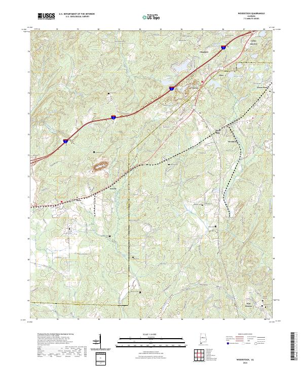 2024 Woodstock2024 Print · USGSThe northern Bibb County hills come into focus in this contemporary survey of the communities along the historic rail corridors. Genealogists and researchers can map dozens of burial sites like Hopewell Cem, Bibbville Cem, and the family-named Clements Cem.
End of results
Showing maps 1-20 of 20
Top cities near West Blocton
- Tuscaloosa historical maps
- Hoover historical maps
- Bessemer historical maps
- Helena historical maps
- Abernant historical maps
- Lake View historical maps
See more
Top neighborhoods of West Blocton
Frequently asked questions
- What are the different types of historical maps available for West Blocton?
- What is the oldest map of West Blocton?
- Where can I purchase historical maps of West Blocton for my home or office?
- Where can I download high-res historical maps of West Blocton?
- Are there historical topographic maps available for West Blocton?
- Is there historical aerial imagery available for West Blocton?
- Where are historical maps of West Blocton sourced from?