Old Maps of Jackson, Alabama
Explore 30 old maps of Jackson, spanning from 1943 to today. These high-resolution historic maps reveal how streets, neighborhoods, landmarks, and natural features evolved over time — perfect for genealogy, metal detecting, research, and local history exploration.
What you can do with these maps:
- See how Jackson changed over time: Compare historical maps to modern-day views to trace roads, homesites, rail lines & more.
- View detailed metadata: Each map includes creators, publishers, year, scale, and archive source.
- Overlay maps with satellite & LiDAR: Visualize the past alongside modern tools to explore terrain & human change.
- Trusted historical sources: Maps sourced from the USGS, Library of Congress, and other archives.
- Access maps your way: View online, download high-res files, or order prints for personal or research use.
Start exploring old maps of Jackson to uncover forgotten places, hidden landmarks, and the deep history beneath your feet.
Jackson, AL maps
(30)- 1943 Map of Choctaw Bluff, 1958 Print
 1943 Choctaw Bluff1958 Print · USGSSouthwestern Alabama during the 1940s is shaped by the meeting of the Tombigbee River and Alabama River. Researchers can trace old river landings like Dixie Ldg and find the historic Grave of Red Eagle (Weatherford).2 unique versions available
 - 1946 Map of Choctaw Bluff
 1946 Choctaw Bluff1946 Print · USGSThe river-bottom country of southwest Alabama is shown here just after the war, where the mighty Tombigbee and Alabama rivers meet. Researchers can trace historic river landings like Oven Bluff or find the Grave of Red Eagle (Weatherford) near the confluence.2 unique versions available
 - 1953 Map of Andalusia, 1965 Print
 1953 Andalusia1965 Print · USGSSouth Alabama in the mid-twentieth century remains a land of pine forests and river-fed settlements. You can trace the vital rail corridors of the Louisville & Nashville and locate regional centers such as Andalusia, Brewton, and Monroeville.3 unique versions available
 - 1957 Map of Andalusia
 1957 Andalusia1957 Print · USGSSouthern Alabama in the mid-1950s was a landscape defined by timbered stretches and the rhythmic flow of the Alabama River. Researchers can trace the legacy of the rail era through the Central of Georgia tracks and the storied river bluffs at Choctaw Bluff.
 - 1978 Map of Jackson, 1979 Print
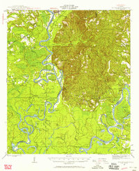
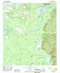
 1978 Jackson1979 Print · USGSJackson and the Tombigbee River corridor are captured in the late seventies as a busy center of river-and-rail commerce. Researchers can trace family roots at Peniel Cem or explore early schooling at Gillmore Sch and Jackson Academy.2 unique versions available
 - 1978 Map of Walker Springs, 1979 Print
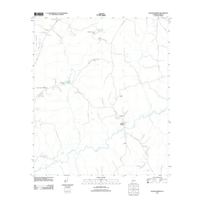
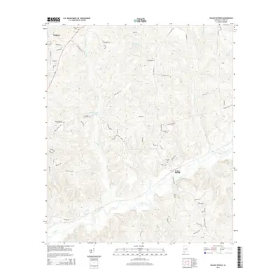
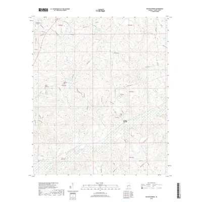
 1978 Walker Springs1979 Print · USGSClarke County in the late seventies is a landscape of creek-side settlements and rural rail hubs. Genealogists and local historians can trace family locations through numerous sites like Gaddies Chapel Cem, Walker Springs, and St Luke Ch.2 unique versions available
 - 1983 Map of Alma
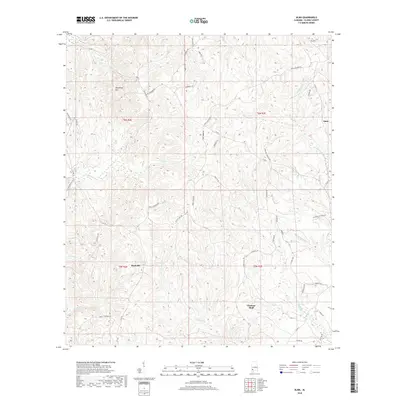
 1983 Alma1983 Print · USGSClarke County in the early eighties retains its rural character, marked by conservation lands and historic property lines. Researchers can trace the Old Indian Treaty Boundary and locate family landmarks like McGowan Cem or the Old Mt Sinai Ch.2 unique versions available
 - 1983 Map of Prestwick, 1984 Print
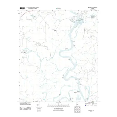
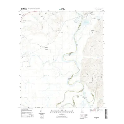
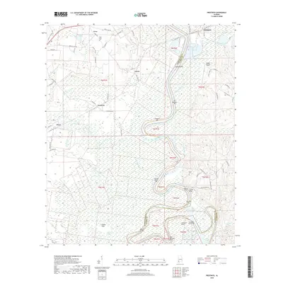
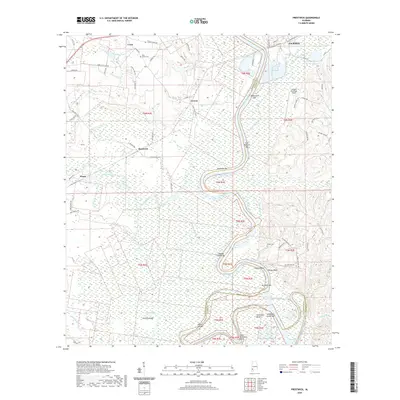
 1983 Prestwick1984 Print · USGSThe Tombigbee River corridor in the early eighties reveals a landscape shaped by water and woods on the Washington and Clarke county line. Researchers can trace rural settlement patterns through Harrells Quarters, locate Pleasant Ridge Ch, or explore the limits of the Fred T Stimpson State Game Sanctuary.
 - 1986 Map of Monroeville
 1986 Monroeville1986 Print · USGSMonroe and Clarke counties are captured here in the mid-eighties, centered on the river valleys of the Alabama River and Tombigbee River. Genealogists and local historians can trace legacy settlements like Burnt Corn, Whatley, and the river site of Claiborne.2 unique versions available
 - 1986 Map of Atmore
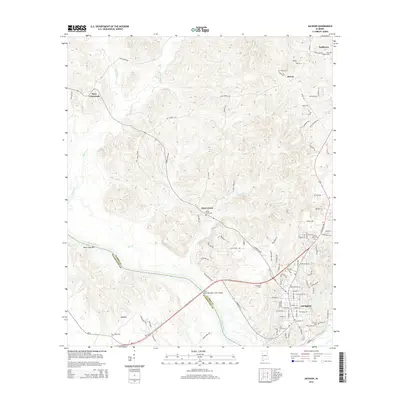
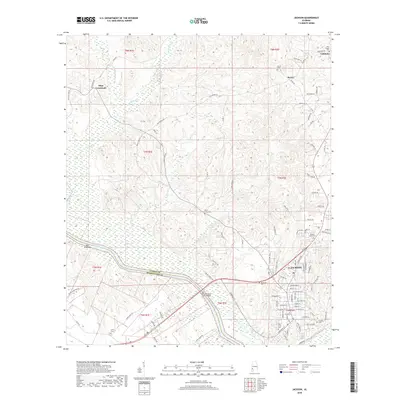
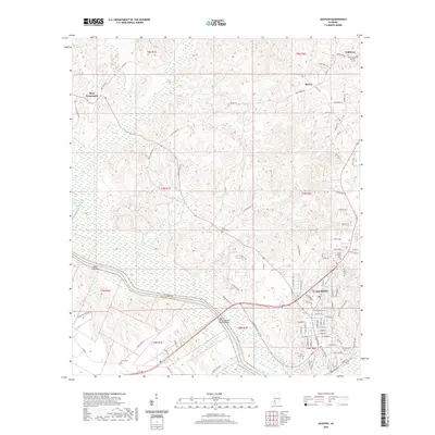
 1986 Atmore1986 Print · USGSSouth Alabama’s river country and timberlands are captured here in the mid-eighties, showing the deep-water bends of the Alabama River and the expanding road networks. Genealogists and historians can trace family locations through small-town post offices and rural churches like Chrysler Ch and the settlement of Barlow Bend.2 unique versions available
 - 2011 Map of Alma, 2011 Print
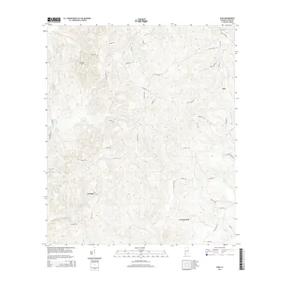
 2011 Alma2011 Print · USGSCovers Jackson, including Alma, Choctaw Bluff, and other nearby areas
 - 2011 Map of Jackson, 2011 Print
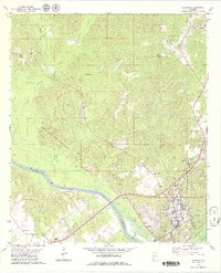
 2011 Jackson2011 Print · USGSCovers Jackson, including Leroy, Mays Crossroads, and other nearby areas
 - 2011 Map of Prestwick, 2011 Print
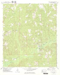
 2011 Prestwick2011 Print · USGSCovers Jackson, including Prestwick, Wagar, and other nearby areas
 - 2011 Map of Walker Springs, 2011 Print
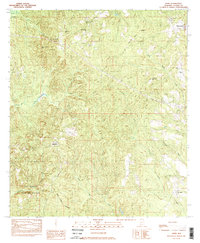
 2011 Walker Springs2011 Print · USGSCovers Jackson, including Walker Springs, Clarke County, and other nearby areas
 - 2014 Map of Prestwick, 2014 Print
 2014 Prestwick2014 Print · USGSCovers Jackson, including Prestwick, Wagar, and other nearby areas
 - 2014 Map of Alma, 2014 Print
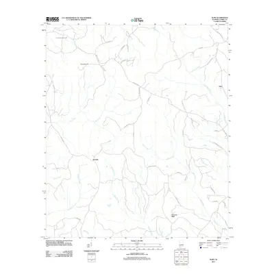
 2014 Alma2014 Print · USGSCovers Jackson, including Alma, Choctaw Bluff, and other nearby areas
 - 2014 Map of Jackson, 2014 Print
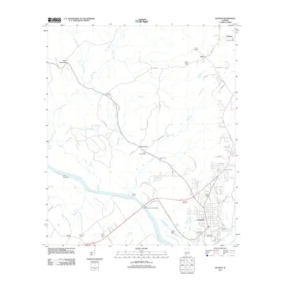
 2014 Jackson2014 Print · USGSCovers Jackson, including Leroy, Mays Crossroads, and other nearby areas
 - 2014 Map of Walker Springs, 2014 Print
 2014 Walker Springs2014 Print · USGSCovers Jackson, including Walker Springs, Clarke County, and other nearby areas
 - 2018 Map of Alma, 2018 Print
 2018 Alma2018 Print · USGSCovers Jackson, including Alma, Choctaw Bluff, and other nearby areas
 - 2018 Map of Jackson, 2018 Print
 2018 Jackson2018 Print · USGSCovers Jackson, including Leroy, Mays Crossroads, and other nearby areas
 - 2018 Map of Prestwick, 2018 Print
 2018 Prestwick2018 Print · USGSCovers Jackson, including Prestwick, Wagar, and other nearby areas
 - 2018 Map of Walker Springs, 2018 Print
 2018 Walker Springs2018 Print · USGSCovers Jackson, including Walker Springs, Clarke County, and other nearby areas
 - 2020 Map of Alma, 2020 Print
 2020 Alma2020 Print · USGSCovers Jackson, including Alma, Choctaw Bluff, and other nearby areas
 - 2020 Map of Jackson, 2020 Print
 2020 Jackson2020 Print · USGSCovers Jackson, including Leroy, Mays Crossroads, and other nearby areas
 - 2020 Map of Prestwick, 2020 Print
 2020 Prestwick2020 Print · USGSCovers Jackson, including Prestwick, Wagar, and other nearby areas
Showing maps 1-25 of 30
Top cities near Jackson
Frequently asked questions
- What are the different types of historical maps available for Jackson?
- What is the oldest map of Jackson?
- Where can I purchase historical maps of Jackson for my home or office?
- Where can I download high-res historical maps of Jackson?
- Are there historical topographic maps available for Jackson?
- Is there historical aerial imagery available for Jackson?
- Where are historical maps of Jackson sourced from?