Old Maps of Paul, Alabama for Hiking & Exploration
Hike through history with 9 historic maps of Paul. Explore old trails, ghost towns, and forgotten backroads — perfect for outdoor adventurers and local explorers.
- Rediscover forgotten places: Map out old mining camps, roads, and footpaths that no longer exist on modern maps.
- Layer with modern tools: Combine with LiDAR or satellite views to plan hikes through historical terrain.
- Made for exploration: Popular among hikers, overlanders, and local history lovers.
Use these maps to find adventure and explore the hidden past of Paul.
Paul, AL maps
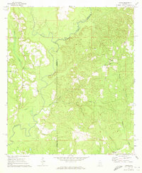
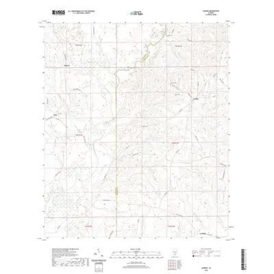
(9)- 1953 Map of Andalusia, 1965 Print
 1953 Andalusia1965 Print · USGSSouth Alabama in the mid-twentieth century remains a land of pine forests and river-fed settlements. You can trace the vital rail corridors of the Louisville & Nashville and locate regional centers such as Andalusia, Brewton, and Monroeville.3 unique versions available
 - 1957 Map of Andalusia
 1957 Andalusia1957 Print · USGSSouthern Alabama in the mid-1950s was a landscape defined by timbered stretches and the rhythmic flow of the Alabama River. Researchers can trace the legacy of the rail era through the Central of Georgia tracks and the storied river bluffs at Choctaw Bluff.
 - 1971 Map of Loango, 1973 Print
 1971 Loango1973 Print · USGSCovington and Conecuh counties in the early seventies reveal a landscape of river-bottom lands and small rural outposts. Researchers can trace family history at Loango, Mt Pilgrim Ch, and Darwin Cem along the winding Pigeon Creek.2 unique versions available
 - 1986 Map of Andalusia
 1986 Andalusia1986 Print · USGSCovington County and the Wiregrass region are shown here in the mid-1980s, centered on the growing hubs of Andalusia and Opp. Genealogists and local historians can trace legacy sites like the Old Pioneer Cem, Straughn Sch, and the rail lines of the Louisville and Nashville RR.2 unique versions available
 - 2011 Map of Loango, 2011 Print
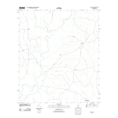 2011 Loango2011 Print · USGSCovers Paul, including Melrose, Fairfield, and other nearby areas
 - 2014 Map of Loango, 2014 Print
 2014 Loango2014 Print · USGSCovers Paul, including Melrose, Fairfield, and other nearby areas
 - 2018 Map of Loango, 2018 Print
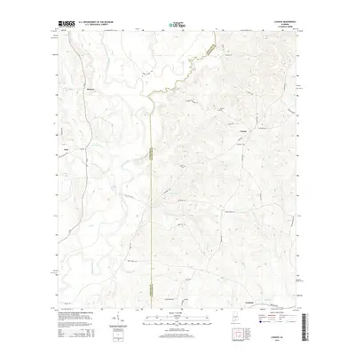
 2018 Loango2018 Print · USGSCovers Paul, including Melrose, Fairfield, and other nearby areas
 - 2020 Map of Loango, 2020 Print
 2020 Loango2020 Print · USGSCovers Paul, including Melrose, Fairfield, and other nearby areas
 - 2024 Map of Loango, 2024 Print
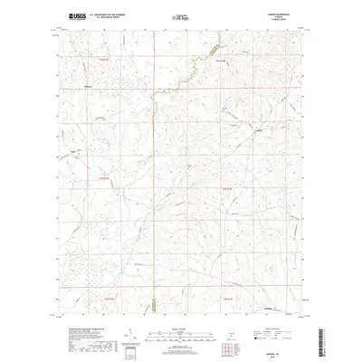
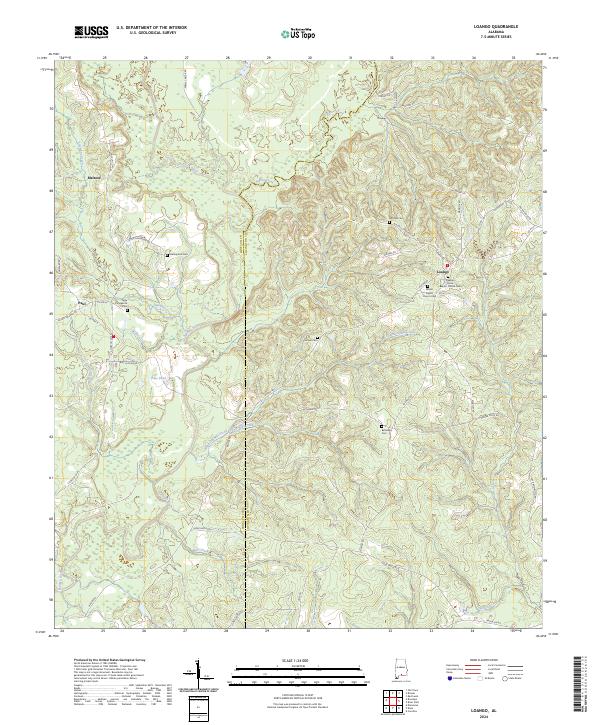 2024 Loango2024 Print · USGSCovington County's rural heartland is meticulously documented here as it appeared in the early 2020s. Researchers can trace family roots through numerous sites like Bethesda Cem and Pleasant Grove Baptist Church along the banks of the Sepulga River.
End of results
Showing maps 1-9 of 9
Top cities near Paul
- Andalusia historical maps
- Evergreen historical maps
- McKenzie historical maps
- River Falls historical maps
- Red Level historical maps
- Carolina historical maps
Frequently asked questions
- What are the different types of historical maps available for Paul?
- What is the oldest map of Paul?
- Where can I purchase historical maps of Paul for my home or office?
- Where can I download high-res historical maps of Paul?
- Are there historical topographic maps available for Paul?
- Is there historical aerial imagery available for Paul?
- Where are historical maps of Paul sourced from?