Old Maps of Opp, Alabama for Academic Research
Study the evolution of Opp with 27 high-resolution historic maps. Whether you're teaching, researching, or modeling changes in land use, these maps provide essential visual documentation of urban, environmental, and geographic change.
- Analyze long-term change: Track patterns in development, transportation, and natural features.
- Ideal for environmental or urban studies: Support academic projects with primary historical map data.
- Use in the classroom or lab: Educators and researchers rely on these maps to bring historical context to life.
These maps are a powerful tool for teaching, research, and visualizing how Opp has changed over the decades.
Opp, AL maps
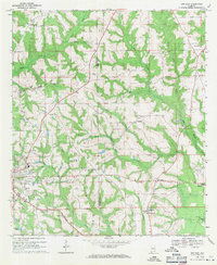
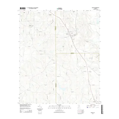
(27)- 1953 Map of Andalusia, 1965 Print
 1953 Andalusia1965 Print · USGSSouth Alabama in the mid-twentieth century remains a land of pine forests and river-fed settlements. You can trace the vital rail corridors of the Louisville & Nashville and locate regional centers such as Andalusia, Brewton, and Monroeville.3 unique versions available
 - 1957 Map of Andalusia
 1957 Andalusia1957 Print · USGSSouthern Alabama in the mid-1950s was a landscape defined by timbered stretches and the rhythmic flow of the Alabama River. Researchers can trace the legacy of the rail era through the Central of Georgia tracks and the storied river bluffs at Choctaw Bluff.
 - 1968 Map of Opp East, 1971 Print
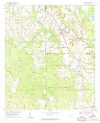
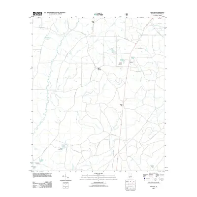
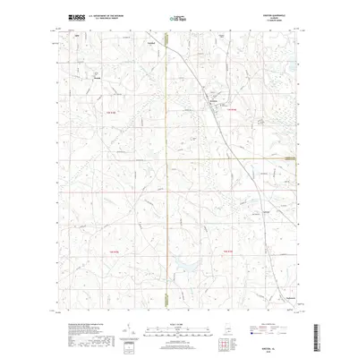
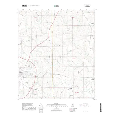
 1968 Opp East1971 Print · USGSEastern Covington County is documented in the late 1960s as the rail-and-river landscape of the wiregrass region evolved. Trace the Louisville and Nashville line past Skelly Field or locate legacy landmarks like Old Town Cem.2 unique versions available
 - 1969 Map of Kinston, 1971 Print
 1969 Kinston1971 Print · USGSSoutheast Alabama is captured here in the late sixties, showcasing the interplay between the Louisville and Nashville rail line and the deep timberlands of the Geneva State Forest. Researchers can locate old crossroads and family sites like Earlytown, St Pauls Cem, and Fine Level Ch.2 unique versions available
 - 1971 Map of Onycha, 1973 Print
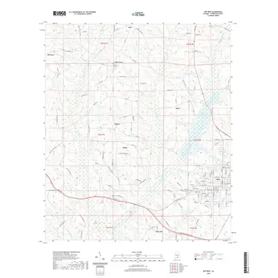
 1971 Onycha1973 Print · USGSSouthern Covington County comes alive in this early 1970s survey of rural Alabama settlements and family landmarks. Researchers can trace the Louisville and Nashville line past Onycha or locate country churches like New Hope Ch.
 - 1971 Map of Opp West, 1973 Print
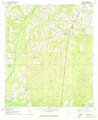
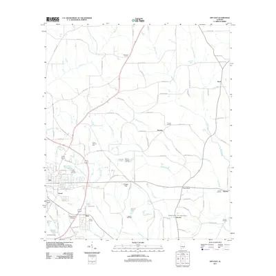
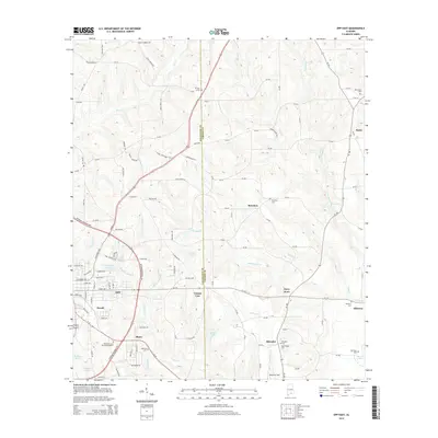
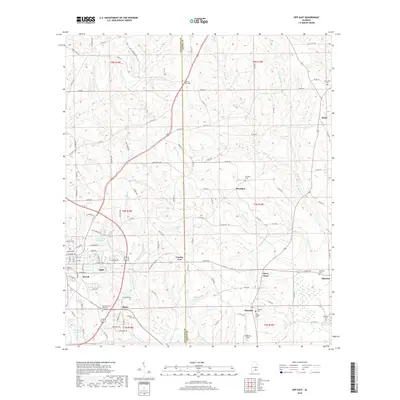
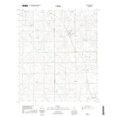
 1971 Opp West1973 Print · USGSCovington County settlement expanded west of the railroad in the early seventies, centered on the growing town of Opp. Researchers can trace local heritage through landmarks like Douglas MacArthur State Tech Inst, Gardner Chapel, and the Henderson Cem.2 unique versions available
 - 1986 Map of Andalusia
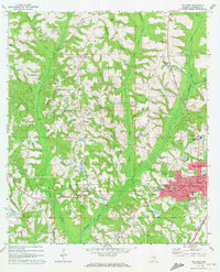
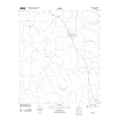
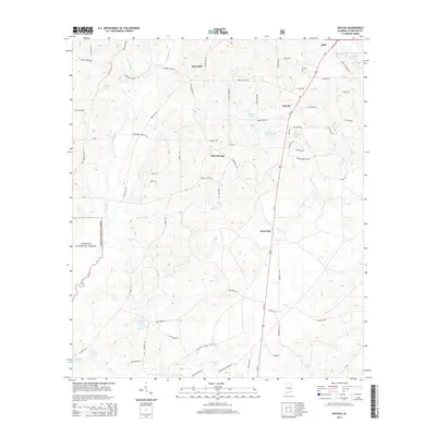
 1986 Andalusia1986 Print · USGSCovington County and the Wiregrass region are shown here in the mid-1980s, centered on the growing hubs of Andalusia and Opp. Genealogists and local historians can trace legacy sites like the Old Pioneer Cem, Straughn Sch, and the rail lines of the Louisville and Nashville RR.2 unique versions available
 - 2011 Map of Opp East, 2011 Print
 2011 Opp East2011 Print · USGSCovers Opp, including Brooklyn, Duvall, and other nearby areas
 - 2011 Map of Onycha, 2011 Print
 2011 Onycha2011 Print · USGSCovers Opp, including Horn Hill, Onycha, and other nearby areas
 - 2011 Map of Opp West, 2011 Print
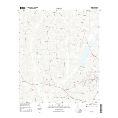
 2011 Opp West2011 Print · USGSCovers Opp, including Babbie, Horn Hill, and other nearby areas
 - 2011 Map of Kinston, 2011 Print
 2011 Kinston2011 Print · USGSCovers Opp, including Kinston, Lowery, and other nearby areas
 - 2014 Map of Kinston, 2014 Print
 2014 Kinston2014 Print · USGSCovers Opp, including Kinston, Lowery, and other nearby areas
 - 2014 Map of Opp East, 2014 Print
 2014 Opp East2014 Print · USGSCovers Opp, including Brooklyn, Duvall, and other nearby areas
 - 2014 Map of Onycha, 2014 Print
 2014 Onycha2014 Print · USGSCovers Opp, including Horn Hill, Onycha, and other nearby areas
 - 2014 Map of Opp West, 2014 Print
 2014 Opp West2014 Print · USGSCovers Opp, including Babbie, Horn Hill, and other nearby areas
 - 2018 Map of Kinston, 2018 Print
 2018 Kinston2018 Print · USGSCovers Opp, including Kinston, Lowery, and other nearby areas
 - 2018 Map of Opp East, 2018 Print
 2018 Opp East2018 Print · USGSCovers Opp, including Brooklyn, Duvall, and other nearby areas
 - 2018 Map of Onycha, 2018 Print
 2018 Onycha2018 Print · USGSCovers Opp, including Horn Hill, Onycha, and other nearby areas
 - 2018 Map of Opp West, 2018 Print
 2018 Opp West2018 Print · USGSCovers Opp, including Babbie, Horn Hill, and other nearby areas
 - 2020 Map of Kinston, 2020 Print
 2020 Kinston2020 Print · USGSCovers Opp, including Kinston, Lowery, and other nearby areas
 - 2020 Map of Opp East, 2020 Print
 2020 Opp East2020 Print · USGSCovers Opp, including Brooklyn, Duvall, and other nearby areas
 - 2020 Map of Opp West, 2020 Print
 2020 Opp West2020 Print · USGSCovers Opp, including Babbie, Horn Hill, and other nearby areas
 - 2021 Map of Onycha, 2021 Print
 2021 Onycha2021 Print · USGSCovers Opp, including Horn Hill, Onycha, and other nearby areas
 - 2024 Map of Kinston, 2024 Print
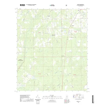
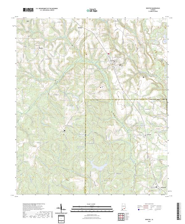 2024 Kinston2024 Print · USGSKinston and the surrounding Wiregrass farm country are shown in detail as they appear in the early 2020s. Trace local family roots and historical crossings at Hollys Ferry, the L & N RR line, and quiet country cemeteries like Beulah Cem.
 - 2024 Map of Opp East, 2024 Print
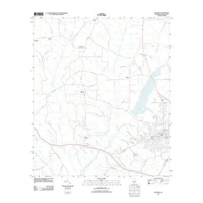
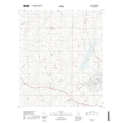
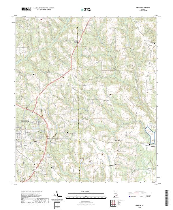 2024 Opp East2024 Print · USGSSoutheast Alabama’s rural landscapes are shown in high detail here, where the Covington and Coffee county lines meet. Genealogists can trace family heritage through sites like Sweetwater Baptist Cem, Brooklyn, and the aviation outpost at Skelly Stagefield Al.
Showing maps 1-25 of 27
Top cities near Opp
- Andalusia historical maps
- Elba historical maps
- Samson historical maps
- Babbie historical maps
- Kinston historical maps
- Dozier historical maps
See more
Top neighborhoods of Opp
Frequently asked questions
- What are the different types of historical maps available for Opp?
- What is the oldest map of Opp?
- Where can I purchase historical maps of Opp for my home or office?
- Where can I download high-res historical maps of Opp?
- Are there historical topographic maps available for Opp?
- Is there historical aerial imagery available for Opp?
- Where are historical maps of Opp sourced from?