2000s (21st Century) Maps of Eutaw, Alabama
Explore 15 historic maps of Eutaw from the 2000s (21st Century). These maps offer a rare glimpse into what life looked like during the 2000s — showing old roads, neighborhoods, homes, and landmarks that have changed or disappeared over time.
Whether you're researching your family's past, planning a metal detecting trip, or studying how Eutaw's landscape evolved across the 2000s, these high-resolution maps are a powerful tool for exploring the history of this region.
- Focus on a specific era: All maps on this page are from the 2000s, giving you a focused view of this time period.
- See what’s changed: Compare century-old streets, trails, and buildings to today's modern landscape using overlays and satellite layers.
- Research with precision: Use these maps for genealogy, historical research, land use analysis, or educational projects.
- View, download, or print: Maps are fully viewable online in high resolution, and can be downloaded or printed for your own records.
Start exploring Eutaw's history through authentic maps from the 2000s. This is your window into the past.
Eutaw, AL maps
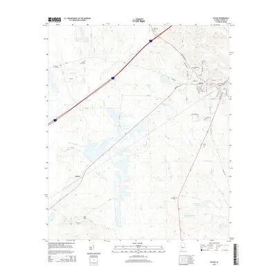
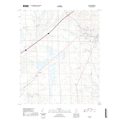
(15)- 2011 Map of Eutaw, 2011 Print
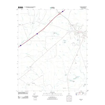 2011 Eutaw2011 Print · USGSCovers Eutaw, including Allison, Greene County, and other nearby areas
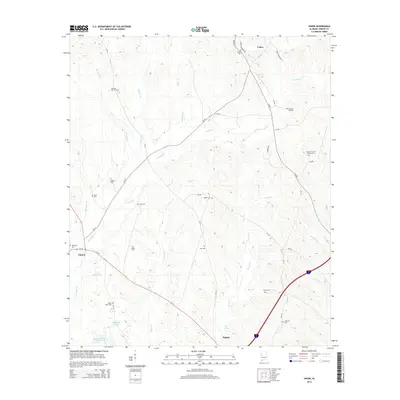
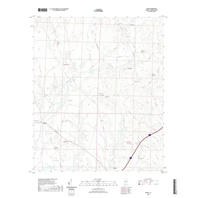
 - 2011 Map of Union, 2011 Print
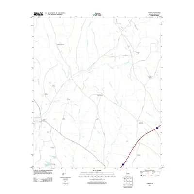 2011 Union2011 Print · USGSCovers Eutaw, including Union, Clinton, and other nearby areas
 - 2011 Map of Warrior Dam, 2011 Print
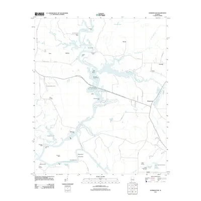 2011 Warrior Dam2011 Print · USGSCovers Eutaw, including Darrah, McClure, and other nearby areas
 - 2014 Map of Warrior Dam, 2014 Print
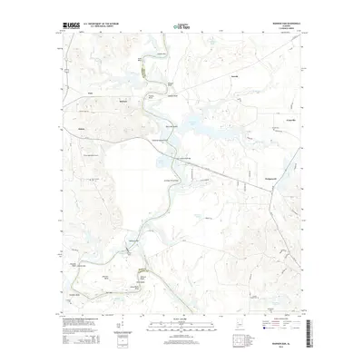 2014 Warrior Dam2014 Print · USGSCovers Eutaw, including Darrah, McClure, and other nearby areas
 - 2014 Map of Eutaw, 2014 Print
 2014 Eutaw2014 Print · USGSCovers Eutaw, including Allison, Greene County, and other nearby areas
 - 2014 Map of Union, 2014 Print
 2014 Union2014 Print · USGSCovers Eutaw, including Union, Clinton, and other nearby areas
 - 2018 Map of Union, 2018 Print
 2018 Union2018 Print · USGSCovers Eutaw, including Union, Clinton, and other nearby areas
 - 2018 Map of Warrior Dam, 2018 Print
 2018 Warrior Dam2018 Print · USGSCovers Eutaw, including Darrah, McClure, and other nearby areas
 - 2018 Map of Eutaw, 2018 Print
 2018 Eutaw2018 Print · USGSCovers Eutaw, including Allison, Greene County, and other nearby areas
 - 2020 Map of Union, 2020 Print
 2020 Union2020 Print · USGSCovers Eutaw, including Union, Clinton, and other nearby areas
 - 2020 Map of Eutaw, 2020 Print
 2020 Eutaw2020 Print · USGSCovers Eutaw, including Allison, Greene County, and other nearby areas
 - 2020 Map of Warrior Dam, 2020 Print
 2020 Warrior Dam2020 Print · USGSCovers Eutaw, including Darrah, McClure, and other nearby areas
 - 2024 Map of Eutaw, 2024 Print
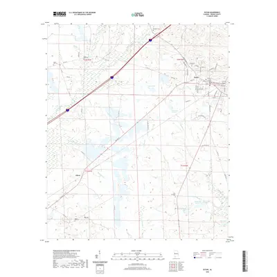
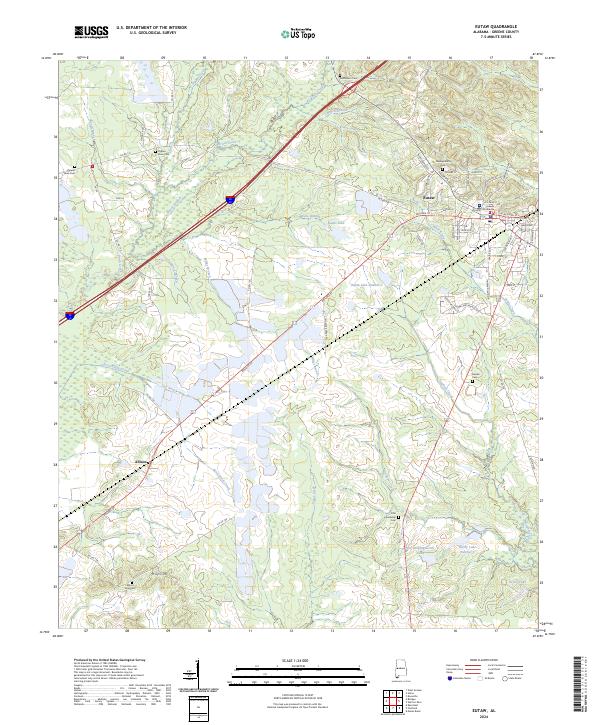 2024 Eutaw2024 Print · USGSThe Greene County seat and its rural outskirts are captured in this recent survey of the Alabama Black Belt. Genealogists can trace family footprints across numerous sites including Mesopotamia Cem, Beulah Cem, and the community at Allison.
 - 2024 Map of Union, 2024 Print
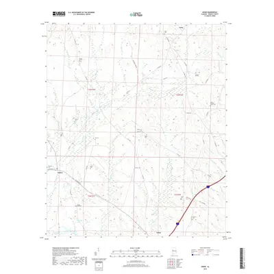
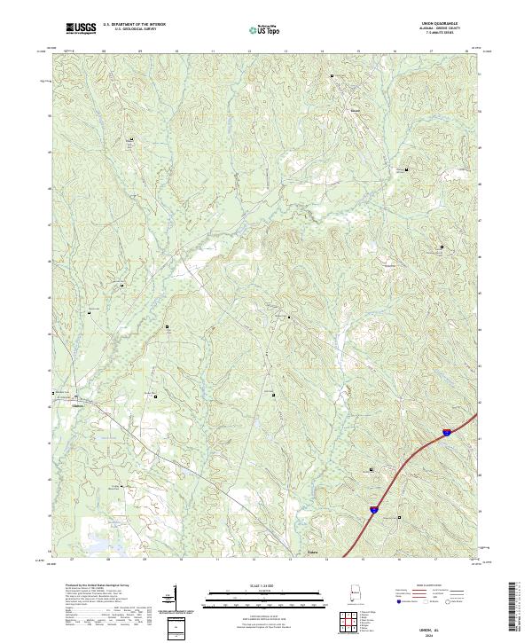 2024 Union2024 Print · USGSGreene County’s rural character is preserved here in the early twenty-first century, showing a landscape shaped by creek branches and family lands. Researchers can locate numerous historic burying grounds like Pleasant Hill Cem, Harris Cem, and Johnson Hill Cem near the settlement of Union.
 - 2024 Map of Warrior Dam, 2024 Print
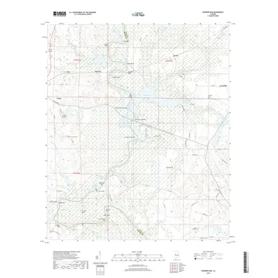
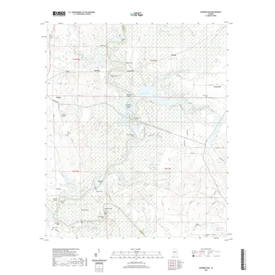
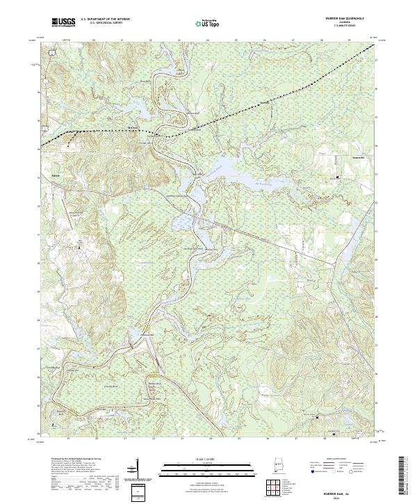 2024 Warrior Dam2024 Print · USGSThe Black Warrior River winds through Hale and Greene counties in this recent survey, revealing a landscape of historic river crossings and wetland reaches. Local historians can trace old river points like Finches Ferry, cemeteries including Bethlehem Cem, and the layout of Eutaw Municipal Airport.
End of results
Showing maps 1-15 of 15
Top cities near Eutaw
- Forkland historical maps
- Boligee historical maps
- Epes historical maps
- Akron historical maps
- Union historical maps
Top neighborhoods of Eutaw
Frequently asked questions
- What are the different types of historical maps available for Eutaw?
- What is the oldest map of Eutaw?
- Where can I purchase historical maps of Eutaw for my home or office?
- Where can I download high-res historical maps of Eutaw?
- Are there historical topographic maps available for Eutaw?
- Is there historical aerial imagery available for Eutaw?
- Where are historical maps of Eutaw sourced from?