Old Maps of Auburn, Alabama
Explore 32 old maps of Auburn, spanning from 1906 to today. These high-resolution historic maps reveal how streets, neighborhoods, landmarks, and natural features evolved over time — perfect for genealogy, metal detecting, research, and local history exploration.
What you can do with these maps:
- See how Auburn changed over time: Compare historical maps to modern-day views to trace roads, homesites, rail lines & more.
- View detailed metadata: Each map includes creators, publishers, year, scale, and archive source.
- Overlay maps with satellite & LiDAR: Visualize the past alongside modern tools to explore terrain & human change.
- Trusted historical sources: Maps sourced from the USGS, Library of Congress, and other archives.
- Access maps your way: View online, download high-res files, or order prints for personal or research use.
Start exploring old maps of Auburn to uncover forgotten places, hidden landmarks, and the deep history beneath your feet.
Auburn, AL maps
(32)- 1906 Map of Dadeville
 1906 Dadeville1906 Print · USGSThe Tallapoosa River valley is shown at the turn of the century, defined by its numerous river ferries and a burgeoning rail network. Genealogists can trace family roots through rural landmarks like Rocky Ridge Church, Mc Ritchie Mill, and the many river crossings including McCarty Ferry.3 unique versions available
 - 1907 Map of Opelika, 1963 Print
 1907 Opelika1963 Print · USGSEastern Alabama and western Georgia come alive in this early 1900s survey of the rail-and-river economy. Genealogists can trace family names at Mitchell Crossroads, find rural landmarks like the Poor Farm, and locate historic river crossings like Dixon Ferry.
 - 1909 Map of Opelika
 1909 Opelika1909 Print · USGSEastern Alabama and western Georgia are seen here in the first decade of the twentieth century as the river-and-rail economy reached its peak. Genealogists and historians can trace old river crossings like Blanton Ferry, rural post offices such as Antioch Church Huckabee P O, and the path of the Chattahoochee Valley railroad.4 unique versions available
 - 1955 Map of Phenix City, 1964 Print
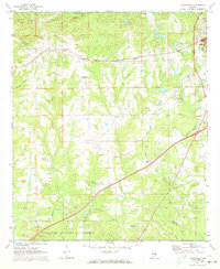
 1955 Phenix City1964 Print · USGSPost-war Alabama and Georgia meet along the Chattahoochee River as industry and military installations expand. Trace the rail lines of the Central of Georgia through towns like Opelika, Tuskegee, and Alexander City.3 unique versions available
 - 1957 Map of Phenix City
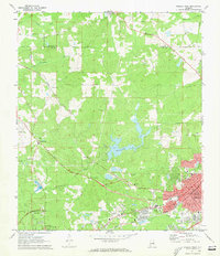
 1957 Phenix City1957 Print · USGSThe Alabama-Georgia borderlands are captured here in the mid-fifties, centered on the bustling river crossing at Phenix City and Columbus. Researchers can trace the mid-century footprint of the Fort Benning Military Reservation or locate smaller textile and railroad towns like Langdale and Camp Hill.
 - 1958 Map of Phenix City
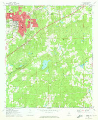
 1958 Phenix City1958 Print · USGSThe Alabama-Georgia borderlands thrive during the late fifties, anchored by the river-driven industry of Columbus and Phenix City. Researchers can trace the mid-century footprints of Fort Benning, Auburn, and the textile towns of Fairfax and Lanett.
 - 1971 Map of Waverly
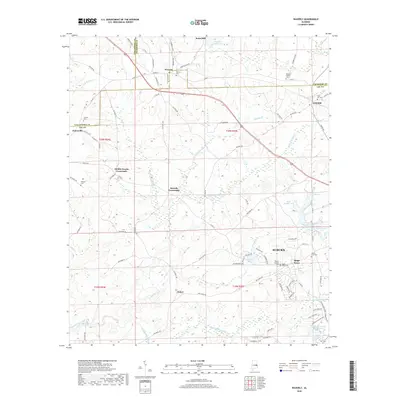
 1971 Waverly1971 Print · USGSThe intersection of Lee, Chambers, and Tallapoosa counties in the early 1970s shows a landscape of rail-linked communities and rural crossroads. Genealogists can trace family footprints near Waverly, Gold Hill, and historic churches like Mt Traveler Ch or Macon Spring Ch.2 unique versions available
 - 1971 Map of Opelika West, 1973 Print
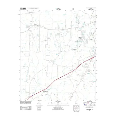
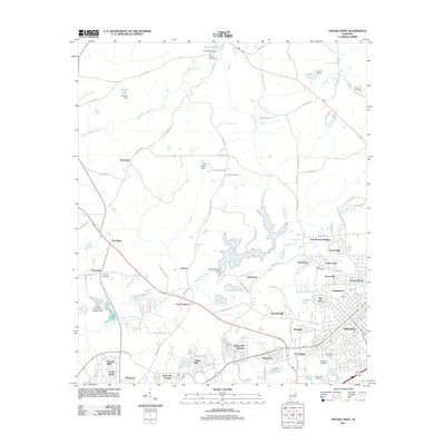
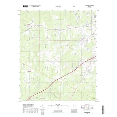
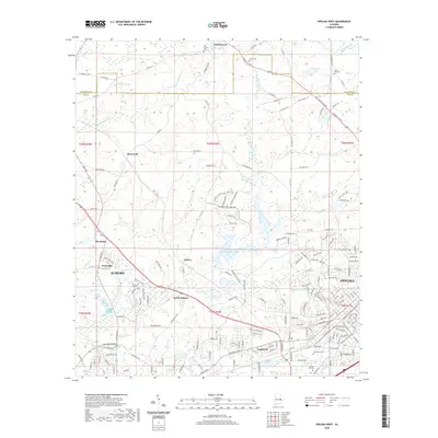
 1971 Opelika West1973 Print · USGSThe growing communities of Opelika and Auburn meet in this 1970s portrait of Lee County's rail and water infrastructure. Researchers can trace historic family landmarks and local institutions like Oak Bowery Ch, The Bottle, and the Central of Georgia Railway.3 unique versions available
 - 1971 Map of Loachapoka, 1973 Print
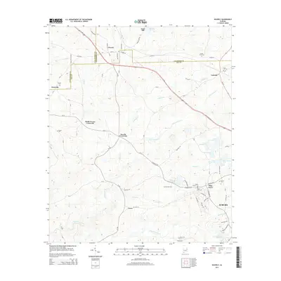
 1971 Loachapoka1973 Print · USGSLoachapoka and the rural Lee-Macon county line are seen here in the early seventies, centered on the historic Western Railway of Alabama. Researchers can trace the layout of local education and faith at Loachapoka Jr High Sch, Coster Ch, and the Loachapoka Cem.3 unique versions available
 - 1971 Map of Auburn, 1973 Print
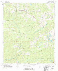
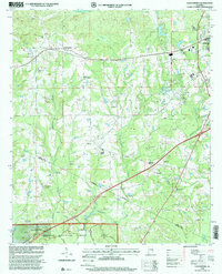
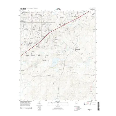
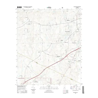
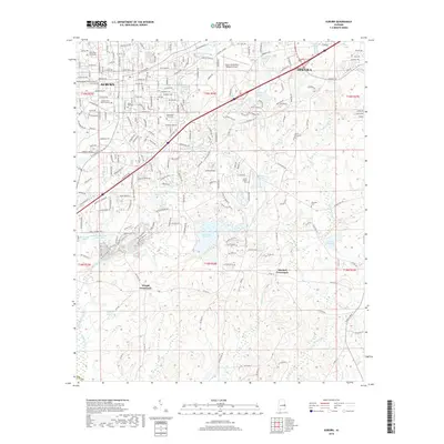
 1971 Auburn1973 Print · USGSAuburn and Opelika are shown during a period of significant academic and civic expansion in the early seventies. Local historians can trace the development of Auburn University and locate rural landmarks like Mitchell Crossroads and Sand Hill Ch.2 unique versions available
 - 1981 Map of Opelika, 1982 Print
 1981 Opelika1982 Print · USGSEast Alabama and West Georgia appear in the early 1980s as a region defined by massive river reservoirs and the storied textile corridor. Genealogists can trace family roots through the valley towns of Lanett and Fairfax or locate sites near Horseshoe Bend National Military Park.
 - 1998 Map of Loachapoka, 2001 Print
 1998 Loachapoka2001 Print · USGSThe community of Loachapoka is shown during its late-century development as it transitions toward the growing Auburn area. Researchers can trace family sites at Loachapoka Cem, St Matthew Ch, and within the Tuskegee National Forest.
 - 2011 Map of Waverly, 2011 Print
 2011 Waverly2011 Print · USGSCovers Auburn, including Waverly, James, and other nearby areas
 - 2011 Map of Loachapoka, 2011 Print
 2011 Loachapoka2011 Print · USGSCovers Auburn, including Loachapoka, Sand Hill, and other nearby areas
 - 2011 Map of Auburn, 2011 Print
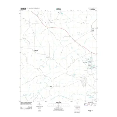
 2011 Auburn2011 Print · USGSCovers Auburn, including Opelika, Union Crossroads, and other nearby areas
 - 2011 Map of Opelika West, 2011 Print
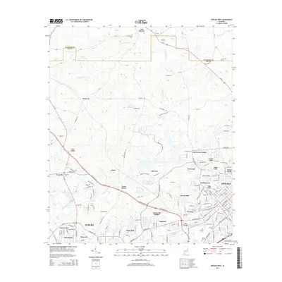
 2011 Opelika West2011 Print · USGSCovers Auburn, including Opelika, Stonewall, and other nearby areas
 - 2014 Map of Auburn, 2014 Print
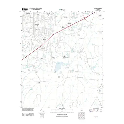
 2014 Auburn2014 Print · USGSCovers Auburn, including Opelika, Union Crossroads, and other nearby areas
 - 2014 Map of Waverly, 2014 Print
 2014 Waverly2014 Print · USGSCovers Auburn, including Waverly, James, and other nearby areas
 - 2014 Map of Opelika West, 2014 Print
 2014 Opelika West2014 Print · USGSCovers Auburn, including Opelika, Stonewall, and other nearby areas
 - 2014 Map of Loachapoka, 2014 Print
 2014 Loachapoka2014 Print · USGSCovers Auburn, including Loachapoka, Sand Hill, and other nearby areas
 - 2018 Map of Loachapoka, 2018 Print
 2018 Loachapoka2018 Print · USGSCovers Auburn, including Loachapoka, Sand Hill, and other nearby areas
 - 2018 Map of Waverly, 2018 Print
 2018 Waverly2018 Print · USGSCovers Auburn, including Waverly, James, and other nearby areas
 - 2018 Map of Opelika West, 2018 Print
 2018 Opelika West2018 Print · USGSCovers Auburn, including Opelika, Stonewall, and other nearby areas
 - 2018 Map of Auburn, 2018 Print
 2018 Auburn2018 Print · USGSCovers Auburn, including Opelika, Union Crossroads, and other nearby areas
 - 2020 Map of Opelika West, 2020 Print
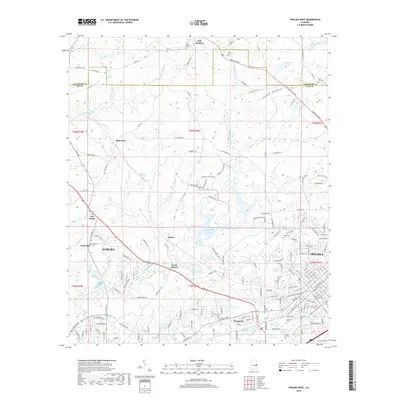
 2020 Opelika West2020 Print · USGSCovers Auburn, including Opelika, Stonewall, and other nearby areas
Showing maps 1-25 of 32
Top cities near Auburn
- Opelika historical maps
- Valley historical maps
- Tuskegee historical maps
- Lanett historical maps
- Dadeville historical maps
- Camp Hill historical maps
See more
Top neighborhoods of Auburn
- Ridge Grove historical maps
- Gold Hill historical maps
- Union Crossroads historical maps
- Whipporwill Estates historical maps
- Windsor Forest historical maps
- Head Estates historical maps
See more
Frequently asked questions
- What are the different types of historical maps available for Auburn?
- What is the oldest map of Auburn?
- Where can I purchase historical maps of Auburn for my home or office?
- Where can I download high-res historical maps of Auburn?
- Are there historical topographic maps available for Auburn?
- Is there historical aerial imagery available for Auburn?
- Where are historical maps of Auburn sourced from?