
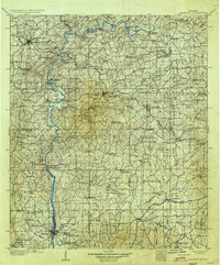
1906 Map of Dadeville
USGS Topo · Published 1906About this map
The Tallapoosa River carves a winding path through this central Alabama landscape, serving as a primary corridor for commerce and travel via numerous crossings such as McCarty Ferry, Whaley Ferry, and Double Bridge Ferry. The interior of the county is a network of small agricultural settlements and early industrial sites, where Meltons Mill Wind and Mc Ritchie Mill indicate a local economy tied to the land. This era captures the region before major hydroelectric developments altered the river's course, preserving the locations of river-bottom landmarks like Cherokee Bluffs.
Find a feature on this map
142 named features on this map. Tap any name to fly to it.
Don’t see what you’re looking for? This feature index may not catch every label — zoom into the map to look around manually.
Map Details
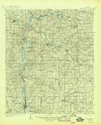
Editions of this 1906 Dadeville Map
3 editions found
Other maps of this area

1890 · Talladega
USGS Topo · 1:125,000

1891 · Ashland
USGS Topo · 1:125,000

1892 · Talladega
USGS Topo · 1:125,000

1899 · Wedowee
USGS Topo · 1:125,000

1901 · Wetumpka
USGS Topo · 1:125,000

1901 · Wetumpka
USGS Topo · 1:62,500

1902 · Wedowee
USGS Topo · 1:125,000

1903 · Wetumpka
USGS Topo · 1:125,000

1907 · Opelika
USGS Topo · 1:125,000

1909 · Opelika
USGS Topo · 1:125,000