Loading...
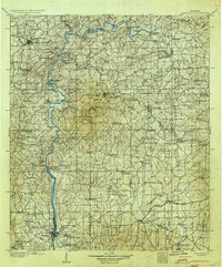
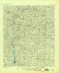
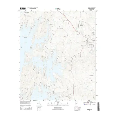
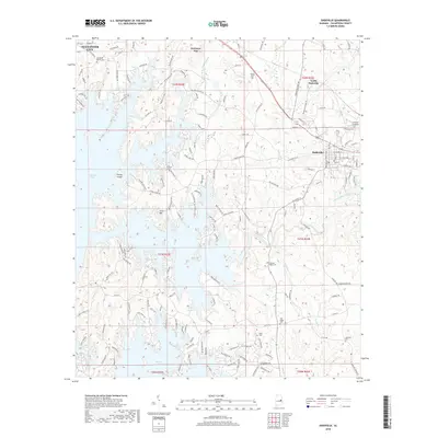
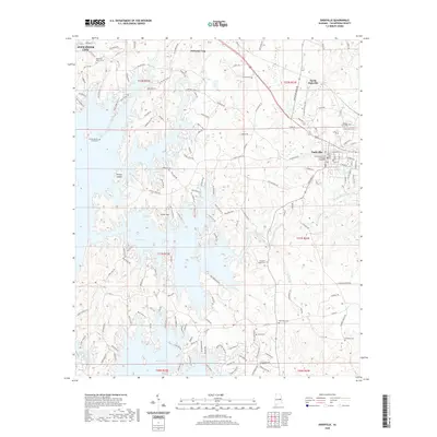
Loading map...1906 Map of Dadeville
USGS Topo · Published 1936About this map
The Tallapoosa River carves a winding path through this central Alabama landscape, shown here as it appeared before the modern reservoirs fundamentally altered the river's course. Numerous crossings such as Mellers Ferry, Welch Ferry, and Robinson Ferry link the disconnected communities of Tallapoosa and Elmore counties. The rugged river valley is dominated by features like Cherokee Bluffs and Wind, while the surrounding uplands are dotted with family-owned operations including Jones Mill, McRitchie Mill, and Ashurst Mill.
Find a feature on this map
101 named features on this map. Tap any name to fly to it.
Don’t see what you’re looking for? This feature index may not catch every label — zoom into the map to look around manually.
Map Details
Date Portrayed1906
Date Published1936
PublisherU.S. Geological Survey
Map TypeTopographic
Scale1:125,000
Physical Dimensions16.5 x 19.9 inches
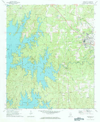
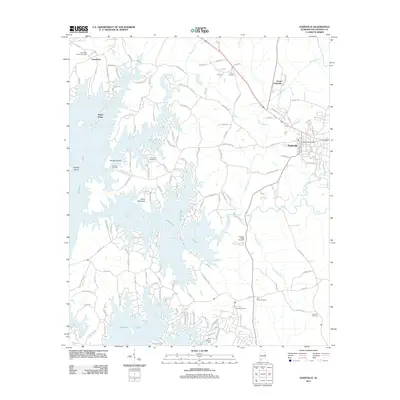
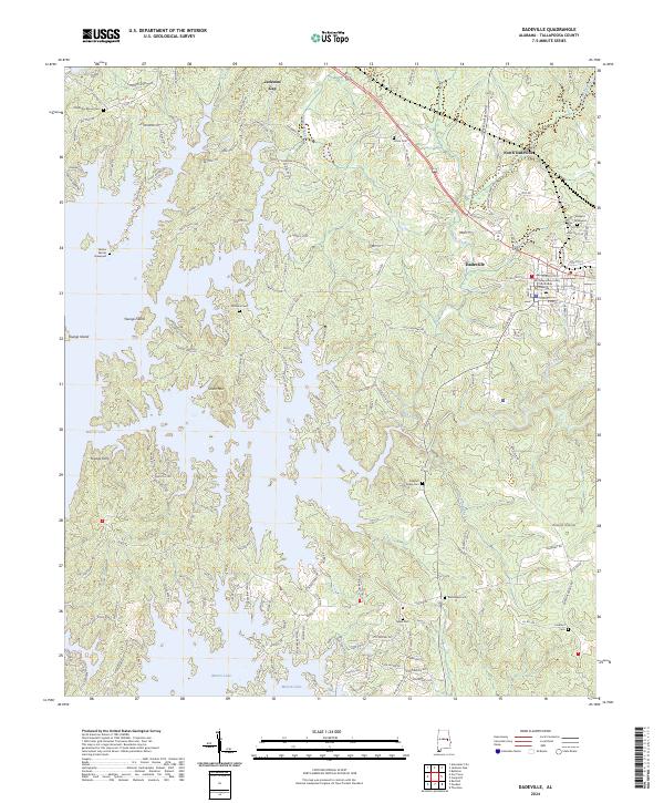
Editions of this 1906 Dadeville Map
3 editions found

Historical Maps of Auburn Through Time
7 maps found
Featured Locations
Source Details
SourceU.S. Geological Survey
CopyrightPublic Domain