
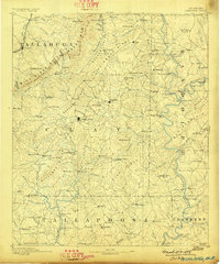
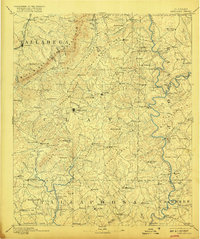
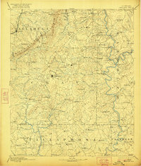
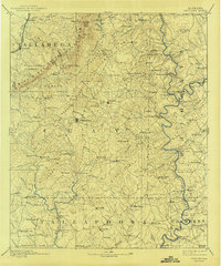
1891 Map of Ashland
USGS Topo · Published 1891About this map
Ashland serves as the central hub for this late 19th-century survey of East Central Alabama, where the rising peaks of the Blue Ridge and Talladega Mts. give way to a landscape defined by water and ridgelines. The map captures a transition in local industry, noting specialized settlements like Graphite and Ironaton alongside established agricultural points like Lineville and Enitachopco.
Find a feature on this map
151 named features on this map. Tap any name to fly to it.
Don’t see what you’re looking for? This feature index may not catch every label — zoom into the map to look around manually.
Map Details
Editions of this 1891 Ashland Map
5 editions found
Other maps of this area

1889 · Tallapoosa
USGS Topo · 1:125,000

1889 · Springville
USGS Topo · 1:125,000

1890 · Talladega
USGS Topo · 1:125,000

1892 · Springville
USGS Topo · 1:125,000

1892 · Talladega
USGS Topo · 1:125,000

1892 · Tallapoosa
USGS Topo · 1:125,000

1897 · Tallapoosa
USGS Topo · 1:125,000

1899 · Wedowee
USGS Topo · 1:125,000

1900 · Anniston
USGS Topo · 1:125,000

1901 · Wetumpka
USGS Topo · 1:125,000