
1897 Map of Tallapoosa
USGS Topo · Published 1897About this map
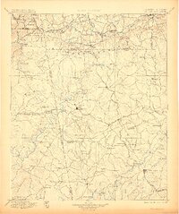
The Tallapoosa River winds through this 1897 survey, defining a landscape at the intersection of industry and rural settlement along the Georgia-Alabama border. The town of Carrollton serves as a major hub in the southeast, while Tallapoosa sits centrally along the Southern RR. The region’s economic life is visible through a network of water-powered operations, including Munroe Mill and Williams Mill, and specialized transport features like the Tramway near Hickman Junction.
Find a feature on this map
144 named features on this map. Tap any name to fly to it.
Don’t see what you’re looking for? This feature index may not catch every label — zoom into the map to look around manually.
Map Details
Editions of this 1897 Tallapoosa Map
4 editions found
Other maps of this area

1886 · Rome
USGS Topo · 1:125,000

1889 · Tallapoosa
USGS Topo · 1:125,000

1890 · Cartersville
USGS Topo · 1:125,000

1891 · Marietta
USGS Topo · 1:125,000

1891 · Cartersville
USGS Topo · 1:125,000

1891 · Ashland
USGS Topo · 1:125,000

1892 · Tallapoosa
USGS Topo · 1:125,000

1893 · Fort Payne
USGS Topo · 1:125,000

1895 · Marietta
USGS Topo · 1:125,000

1896 · Cartersville
USGS Topo · 1:125,000