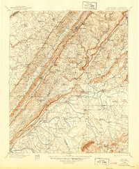
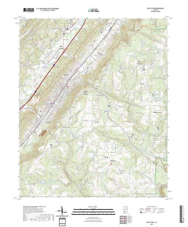
1893 Map of Fort Payne
USGS Topo · Published 1893About this map
Fort Payne and the Wills Valley corridor are dominated by the Great Southern Railroad, which follows the narrow lowland between the massive Lookout Mountain and the western plateaus. This 1880s survey illustrates a region defined by its rugged topography, where gaps like Winston Gap and Nicholson Gap provided essential passage for early roads. Local commerce and industry are evident in the numerous river crossings such as Coker Ferry and Bradford Ferry, and the presence of Sauty Mill in the north.
Find a feature on this map
144 named features on this map. Tap any name to fly to it.
Don’t see what you’re looking for? This feature index may not catch every label — zoom into the map to look around manually.
Map Details
Editions of this 1893 Fort Payne Map
This is the sole edition of this map. No revisions or reprints were ever made.
Historical Maps of Gadsden Through Time
9 maps found