
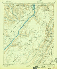
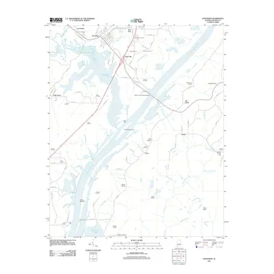
1886 Map of Stevenson
USGS Topo · Published 1886About this map
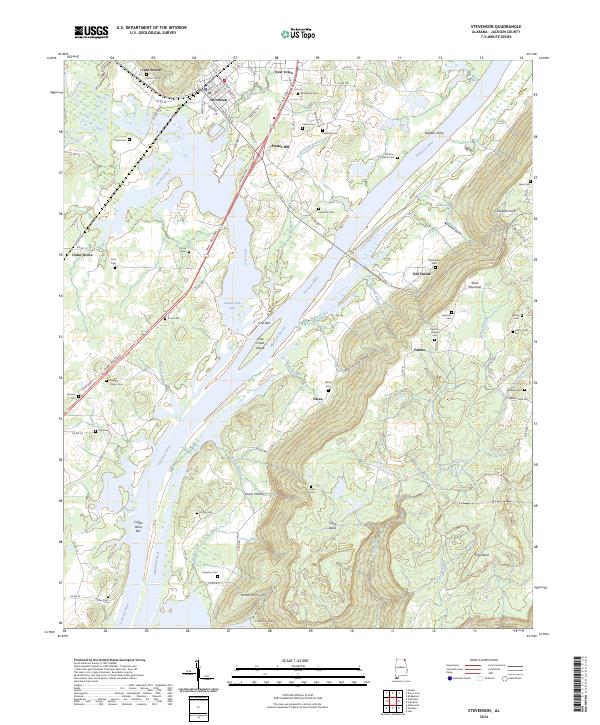
The Tennessee River serves as the central artery of this 1884 survey, winding between the Cumberland Plateau and Lookout Mountain. This is a landscape defined by the intersection of water and iron, where several major rail lines, including the Memphis and Charleston Railroad and the Nashville Chattanooga and St. Louis Railroad, converge at Stevenson. These tracks parallel the river, connecting riverside settlements like Bridgeport and Bellefonte Station to the broader regional economy.
Find a feature on this map
89 named features on this map. Tap any name to fly to it.
Don’t see what you’re looking for? This feature index may not catch every label — zoom into the map to look around manually.
Map Details
Editions of this 1886 Stevenson Map
This is the sole edition of this map. No revisions or reprints were ever made.
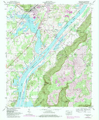
Historical Maps of Scottsboro Through Time
11 maps found
1886 Stevenson
Jackson County, AL

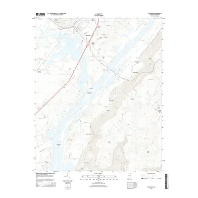
1892 Stevenson
Jackson County, AL
1895 Stevenson
Jackson County, AL
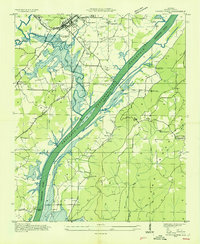
1936 Stevenson
Jackson County, AL
1947 Stevenson
Jackson County, AL
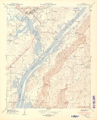
1950 Stevenson
Jackson County, AL
2011 Stevenson
Jackson County, AL
2014 Stevenson
Jackson County, AL
2018 Stevenson
Jackson County, AL
2020 Stevenson
Jackson County, AL
2024 Stevenson
Jackson County, AL