
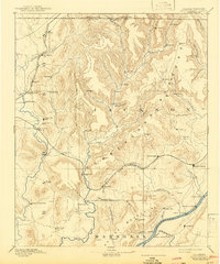
1888 Map of Scottsboro
USGS Topo · Published 1888About this map
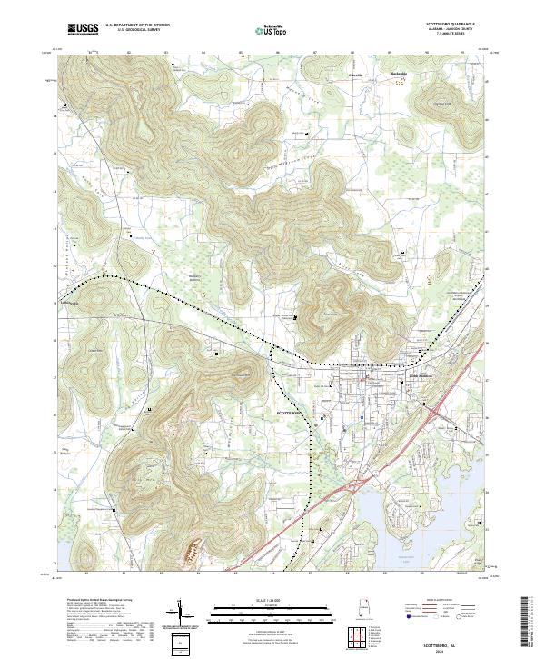
The Cumberland Plateau dominates this late nineteenth-century landscape, where rugged topography dictated the path of early development in northeast Alabama. This period finds the Tennessee River serving as a vital transport corridor, marked by numerous family-named river access points including Caldwell's Ferry and Larkin's Landing. The region's early industrial and social hubs are anchored by landmarks like Bell Factory and Carrick's Mill, while the arrival of the Memphis and Charleston Railroad provided the necessary pulse for inland growth.
Find a feature on this map
69 named features on this map. Tap any name to fly to it.
Don’t see what you’re looking for? This feature index may not catch every label — zoom into the map to look around manually.
Map Details
Editions of this 1888 Scottsboro Map
This is the sole edition of this map. No revisions or reprints were ever made.
Historical Maps of Huntsville Through Time
10 maps found
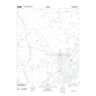
1888 Scottsboro
Jackson County, AL
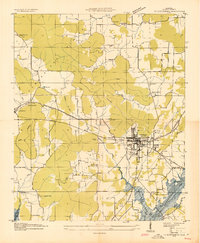
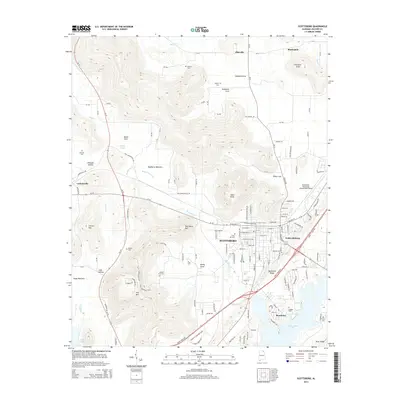
1892 Scottsboro
Jackson County, AL
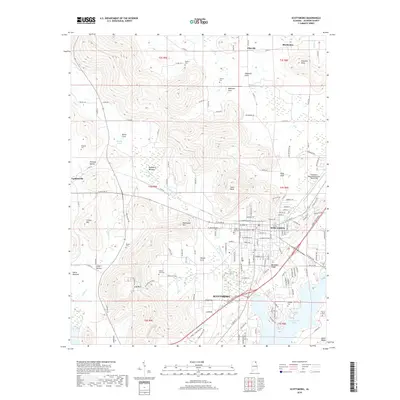
1936 Scottsboro
Jackson County, AL
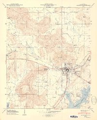
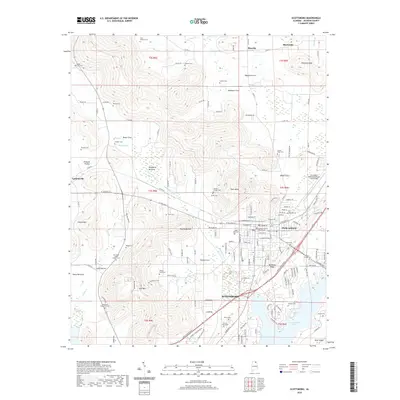
1947 Scottsboro
Jackson County, AL
1950 Scottsboro
Jackson County, AL
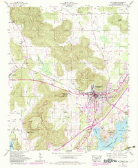
2011 Scottsboro
Jackson County, AL
2014 Scottsboro
Jackson County, AL
2018 Scottsboro
Jackson County, AL
2020 Scottsboro
Jackson County, AL
2024 Scottsboro
Jackson County, AL