
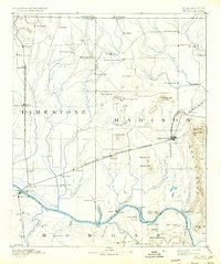
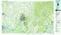
1888 Map of Huntsville
USGS Topo · Published 1888About this map
Huntsville and Athens serve as the primary hubs for this late-19th-century landscape, connected by the vital artery of the Memphis and Charleston Railroad. The topography is dominated by the prominent ridge of Monte Sano to the east, while the Tennessee River forms the southern boundary, its banks dotted with early river settlements like Triana and Whitesburgh. The map reveals a highly developed network of smaller rural communities and mills, such as Thompsons Mill and Madison Cross Roads, indicating a robust agricultural economy.
Find a feature on this map
71 named features on this map. Tap any name to fly to it.
Don’t see what you’re looking for? This feature index may not catch every label — zoom into the map to look around manually.
Map Details
Editions of this 1888 Huntsville Map
This is the sole edition of this map. No revisions or reprints were ever made.
Historical Maps of Huntsville Through Time
14 maps found
1888 Huntsville
Madison County, AL
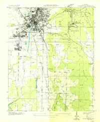
1892 Huntsville
Madison County, AL
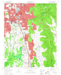
1936 Huntsville
Madison County, AL

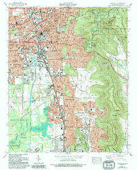
1948 Huntsville
Madison County, AL

1950 Huntsville
Madison County, AL
1964 Huntsville
Madison County, AL
1975 Huntsville
Madison County, AL
1984 Huntsville
Madison County, AL
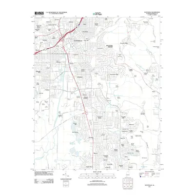
2011 Huntsville
Madison County, AL
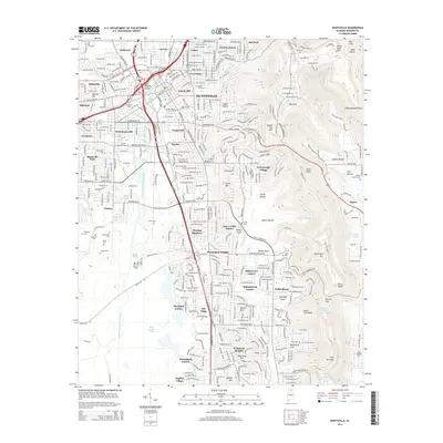
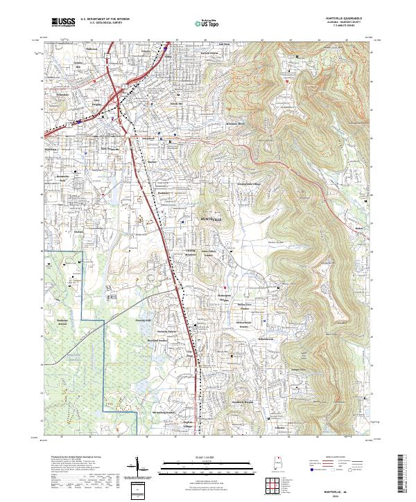
2014 Huntsville
Madison County, AL
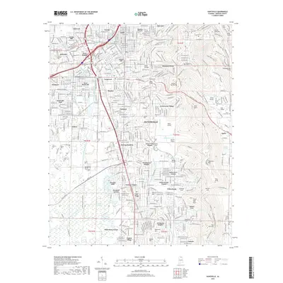
2018 Huntsville
Madison County, AL
2020 Huntsville
Madison County, AL
2023 Huntsville
Madison County, AL
2024 Huntsville
Madison County, AL