
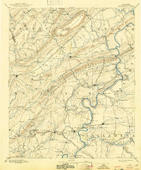
1889 Map of Springville
USGS Topo · Published 1889About this map
Ashville serves as a central hub in this late nineteenth-century portrait of St. Clair County, situated where the ridge-and-valley landscape of Canoe Mountain meets the fertile Beaver Valley. The geography is defined by a dense network of river crossings and mountain gaps that dictated the flow of local commerce and migration. Multiple ferries, including Fomby's Ferry and Woods Ferry, provide passage across the winding Coosa River, while established routes like Tuscaloosa Road and the historic Jackson's Trace cut across the difficult terrain.
Find a feature on this map
168 named features on this map. Tap any name to fly to it.
Don’t see what you’re looking for? This feature index may not catch every label — zoom into the map to look around manually.
Map Details
Editions of this 1889 Springville Map
This is the sole edition of this map. No revisions or reprints were ever made.
Historical Maps of Gadsden Through Time
9 maps found
1889 Springville
St. Clair County, AL
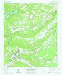
1892 Springville
St. Clair County, AL
1958 Springville
St. Clair County, AL
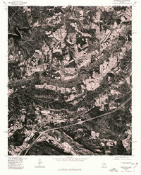
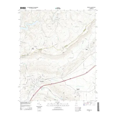
1975 Springville
St. Clair County, AL
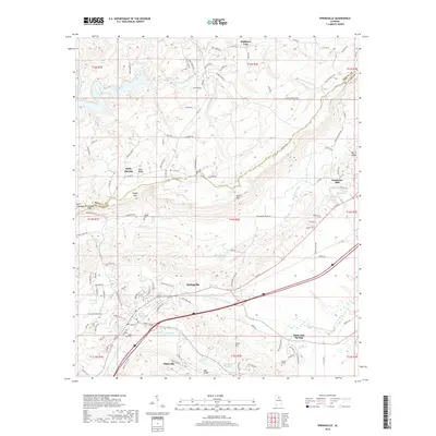
2011 Springville
St. Clair County, AL
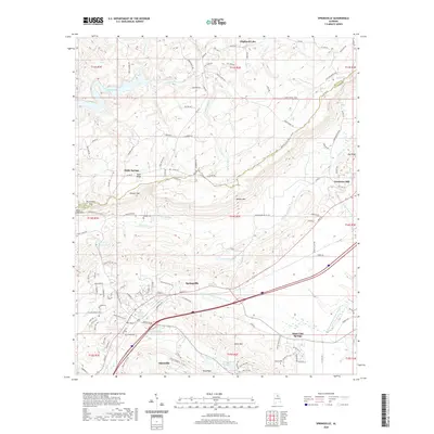
2014 Springville
St. Clair County, AL
2018 Springville
St. Clair County, AL
2020 Springville
St. Clair County, AL
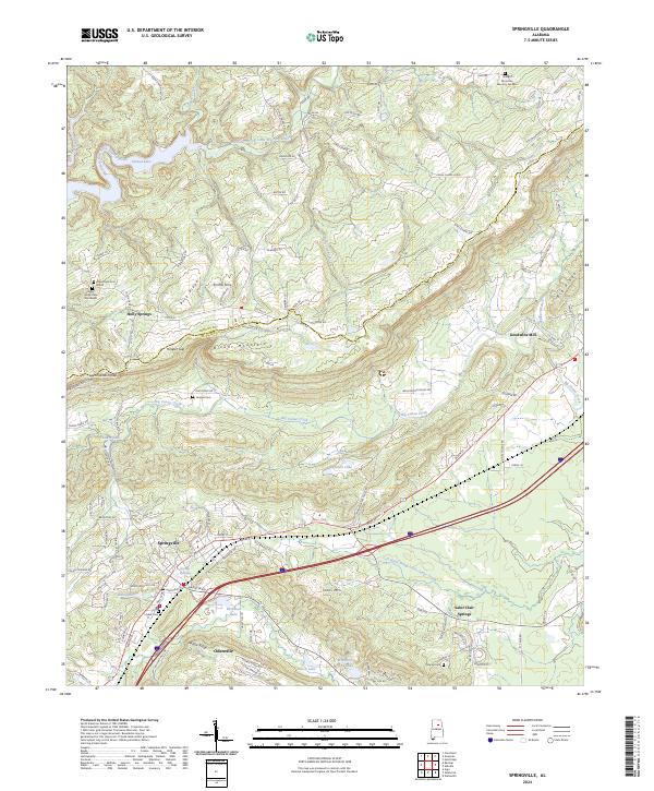
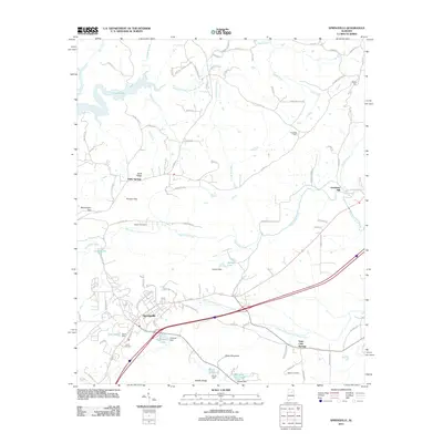
2024 Springville
St. Clair County, AL