
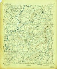
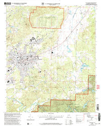
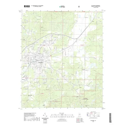
1890 Map of Talladega
USGS Topo · Published 1890About this map
The Coosa River serves as a dominant corridor through central Alabama in the late 1880s, flanked by the Kahatchee Mountains and the Rebecca Mountains or Blue Ridge. This era of development is defined by a dense network of river crossings and emerging rail lines that facilitated the local agricultural and industrial economy. Ferries such as Grissoms Ferry, Glovers Ferry, and Old Kymulga Ferry provide vital links across the Coosa, while the East Tennessee Virginia and Georgia Railroad and the Columbus and Western Railroad intersect at expanding hubs like Childersburg and Sylacauga.
Find a feature on this map
130 named features on this map. Tap any name to fly to it.
Don’t see what you’re looking for? This feature index may not catch every label — zoom into the map to look around manually.
Map Details
Editions of this 1890 Talladega Map
This is the sole edition of this map. No revisions or reprints were ever made.
Historical Maps of Talladega Through Time
11 maps found
1890 Talladega
Talladega County, AL
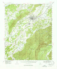
1892 Talladega
Talladega County, AL
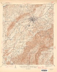
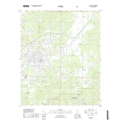
1943 Talladega
Talladega County, AL
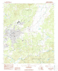
1946 Talladega
Talladega County, AL
1987 Talladega
Talladega County, AL
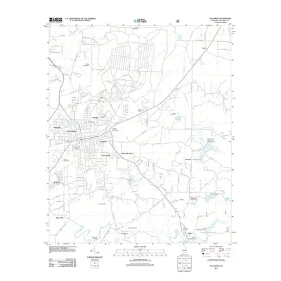
2001 Talladega
Talladega County, AL
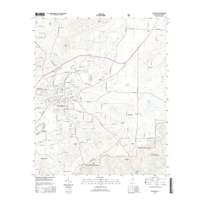
2011 Talladega
Talladega County, AL
2014 Talladega
Talladega County, AL
2018 Talladega
Talladega County, AL
2021 Talladega
Talladega County, AL
2024 Talladega
Talladega County, AL