
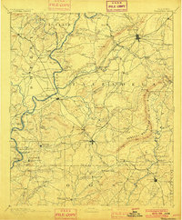
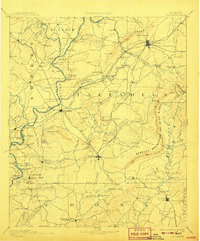
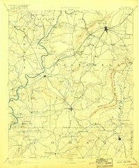
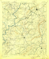
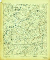
1892 Map of Talladega
USGS Topo · Published 1892About this map
Talladega serves as the regional hub in this late nineteenth-century landscape, where the Anniston and Atlantic Railroad and the East Tennessee Virginia and Georgia Railroad converge. The Coosa River marks a critical western boundary, defined by a network of historic river crossings including Grissoms Ferry, Old Lawsons Ferry, and Chancelors Ferry. These ferries provided essential transit before the era of widespread bridging, connecting early settlements like Vincent and Childersburgh to the interior.
Find a feature on this map
142 named features on this map. Tap any name to fly to it.
Don’t see what you’re looking for? This feature index may not catch every label — zoom into the map to look around manually.
Map Details
Editions of this 1892 Talladega Map
6 editions found
Other maps of this area

1889 · Springville
USGS Topo · 1:125,000

1889 · Birmingham
USGS Topo · 1:125,000

1890 · Bessemer
USGS Topo · 1:125,000

1890 · Talladega
USGS Topo · 1:125,000

1891 · Clanton
USGS Topo · 1:125,000

1891 · Ashland
USGS Topo · 1:125,000

1892 · Birmingham
USGS Topo · 1:125,000

1892 · Springville
USGS Topo · 1:125,000

1892 · Bessemer
USGS Topo · 1:125,000

1895 · Birmingham
USGS Topo · 1:125,000