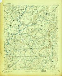
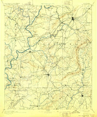
1892 Map of Talladega
USGS Topo · Published 1944About this map
The Coosa River serves as a winding arterial boundary between Shelby and Talladega counties in this late 19th-century survey. The landscape is defined by the ridge-and-valley system of the Rebecca Mountains or Blue Ridge and the Kahatchee Mountains, which shaped the early development of industrial and transit hubs like Talladega and Childersburg. Before modern bridges, a network of river crossings supported local trade, including Grissom Ferry and the Old Ft William Ferry.
Find a feature on this map
143 named features on this map. Tap any name to fly to it.
Don’t see what you’re looking for? This feature index may not catch every label — zoom into the map to look around manually.
Map Details
Editions of this 1892 Talladega Map
6 editions found
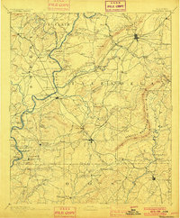
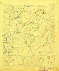
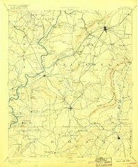
Other maps of this area

1889 · Springville
USGS Topo · 1:125,000

1889 · Birmingham
USGS Topo · 1:125,000

1890 · Bessemer
USGS Topo · 1:125,000

1890 · Talladega
USGS Topo · 1:125,000

1891 · Clanton
USGS Topo · 1:125,000

1891 · Ashland
USGS Topo · 1:125,000

1892 · Birmingham
USGS Topo · 1:125,000

1892 · Springville
USGS Topo · 1:125,000

1892 · Talladega
USGS Topo · 1:125,000

1892 · Bessemer
USGS Topo · 1:125,000