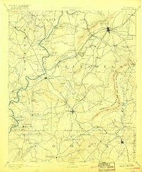
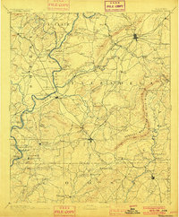
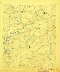
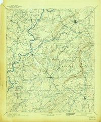
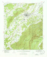
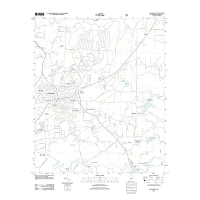
1892 Map of Talladega
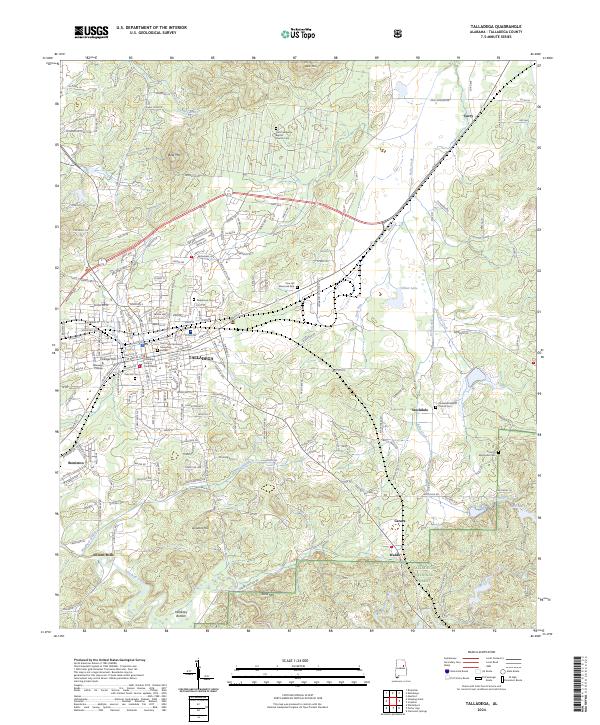
USGS Topo · Published 1918About this map
Coosa River ferry crossings and early Alabama industry define this late nineteenth-century landscape. The Rebecca Mountains or Blue Ridge and Horn Mountains divide the terrain, with local movement facilitated by numerous ferries such as Chancelor Ferry and Glover Ferry. Agriculture and milling are central to the economy, evidenced by several water-powered sites including Riddle Mill on Dry Creek and Robeson Mill near the river.
Find a feature on this map
147 named features on this map. Tap any name to fly to it.
Don’t see what you’re looking for? This feature index may not catch every label — zoom into the map to look around manually.
Map Details
Editions of this 1892 Talladega Map
6 editions found


Historical Maps of Talladega Through Time
11 maps found

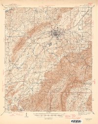
1890 Talladega
Talladega County, AL
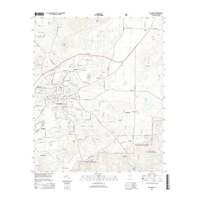
1892 Talladega
Talladega County, AL
1943 Talladega
Talladega County, AL
1946 Talladega
Talladega County, AL
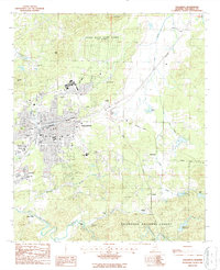
1987 Talladega
Talladega County, AL
2001 Talladega
Talladega County, AL
2011 Talladega
Talladega County, AL
2014 Talladega
Talladega County, AL
2018 Talladega
Talladega County, AL
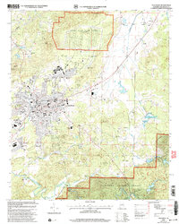
2021 Talladega
Talladega County, AL
2024 Talladega
Talladega County, AL