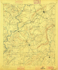
1892 Map of Talladega
USGS Topo · Published 1900About this map
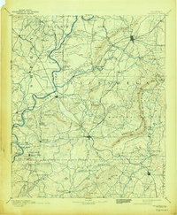
Rebecca Mountains or Blue Ridge and the Talladega Mountains dominate this late-nineteenth-century survey of the Alabama landscape. The region's early industrial and transport infrastructure is vividly recorded through its river crossings and milling sites. Numerous river transit points such as Grissom Ferry, Glover Ferry, and Old Kymulga Ferry line the Coosa River, while the interior is dotted with legacy family operations like Kendrick Mill and Riddle Mill.
Find a feature on this map
138 named features on this map. Tap any name to fly to it.
Don’t see what you’re looking for? This feature index may not catch every label — zoom into the map to look around manually.
Map Details
Editions of this 1892 Talladega Map
6 editions found
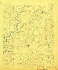
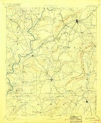
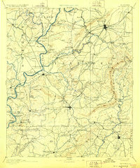
Other maps of this area

1889 · Springville
USGS Topo · 1:125,000

1889 · Birmingham
USGS Topo · 1:125,000

1890 · Bessemer
USGS Topo · 1:125,000

1890 · Talladega
USGS Topo · 1:125,000

1891 · Clanton
USGS Topo · 1:125,000

1891 · Ashland
USGS Topo · 1:125,000

1892 · Birmingham
USGS Topo · 1:125,000

1892 · Springville
USGS Topo · 1:125,000

1892 · Talladega
USGS Topo · 1:125,000

1892 · Bessemer
USGS Topo · 1:125,000