
1891 Map of Clanton
USGS Topo · Published 1891About this map
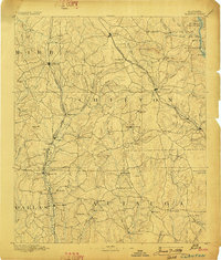
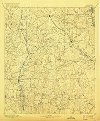
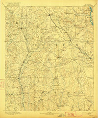
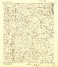
The Coosa River forms the eastern edge of this late nineteenth-century landscape, characterized by the rugged shoals and early river crossings that preceded modern impoundments. Significant features along this waterway include Butting Ram Shoals and the historic Adam's Ferry, alongside several named islands like Cedar Id. and Rock Id. inland, the growth of Clanton and Jemison is closely tied to the Louisville and Nashville Railroad, which snakes through the central hills.
Find a feature on this map
84 named features on this map. Tap any name to fly to it.
Don’t see what you’re looking for? This feature index may not catch every label — zoom into the map to look around manually.
Map Details
Editions of this 1891 Clanton Map
5 editions found
Other maps of this area

1890 · Bessemer
USGS Topo · 1:125,000

1890 · Talladega
USGS Topo · 1:125,000

1892 · Talladega
USGS Topo · 1:125,000

1892 · Bessemer
USGS Topo · 1:125,000

1899 · Brookwood
USGS Topo · 1:125,000

1901 · Wetumpka
USGS Topo · 1:125,000

1903 · Wetumpka
USGS Topo · 1:125,000

1909 · Columbiana
USGS Topo · 1:62,500

1910 · Montevallo
USGS Topo · 1:62,500

1911 · Columbiana
USGS Topo · 1:62,500