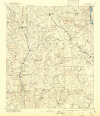
1891 Map of Clanton
USGS Topo · Published 1917About this map
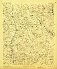
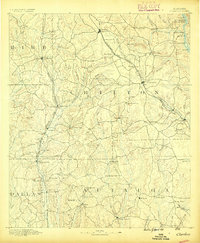
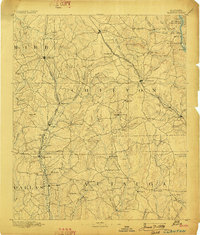
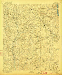
The Coosa River marks the eastern boundary of this central Alabama landscape, where river crossings like Pages Old Ferry and Adams Ferry provided vital transport before the era of modern bridges. Surveyed in 1889, the map reveals a region defined by its reliance on water and rail, with numerous small operations such as Hunts Mill and Willis Mill situated along the winding creeks. The industrial and social life of the late nineteenth century is anchored by the Louisville and Nashville Railroad and the East Tennessee Virginia and Georgia Railroad, which connect established towns like Clanton and Jemison to smaller hubs and rural outposts. Local commerce is represented by several rural mercantile sites, including Booms Store and Ousley Store, reflecting the decentralized settlement patterns of Chilton, Autauga, and Dallas counties during this period.
Find a feature on this map
86 named features on this map. Tap any name to fly to it.
Don’t see what you’re looking for? This feature index may not catch every label — zoom into the map to look around manually.
Map Details
Editions of this 1891 Clanton Map
5 editions found
Historical Maps of Prattville Through Time
3 maps found

