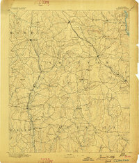
1891 Map of Clanton
USGS Topo · Published 1898About this map
The ridge and creek systems of Central Alabama define the landscape of this 1880s survey, where the Louisville and Nashville Railroad connects the growing hubs of Clanton and Jemison. This is a territory of small rural crossings and local commerce, documented before the widespread modernization of the 20th century. Named commerce points like Ousley Store, Hunt Store, and Boom Store appear alongside critical river infrastructure such as the Clanton Ford on Mulberry Creek.
Find a feature on this map
86 named features on this map. Tap any name to fly to it.
Don’t see what you’re looking for? This feature index may not catch every label — zoom into the map to look around manually.
Map Details
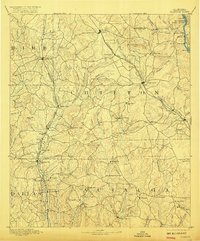
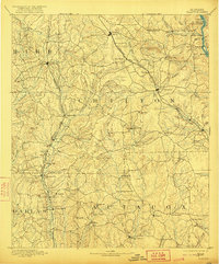
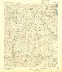
Editions of this 1891 Clanton Map
5 editions found
Other maps of this area

1890 · Bessemer
USGS Topo · 1:125,000

1890 · Talladega
USGS Topo · 1:125,000

1891 · Clanton
USGS Topo · 1:125,000

1892 · Talladega
USGS Topo · 1:125,000

1892 · Bessemer
USGS Topo · 1:125,000

1899 · Brookwood
USGS Topo · 1:125,000

1901 · Wetumpka
USGS Topo · 1:125,000

1903 · Wetumpka
USGS Topo · 1:125,000

1909 · Columbiana
USGS Topo · 1:62,500

1910 · Montevallo
USGS Topo · 1:62,500