
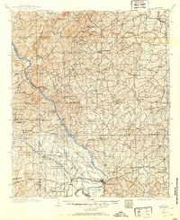
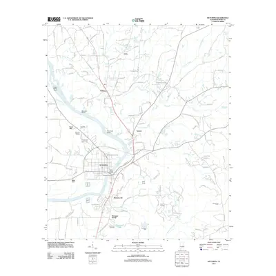
1901 Map of Wetumpka
USGS Topo · Published 1901About this map
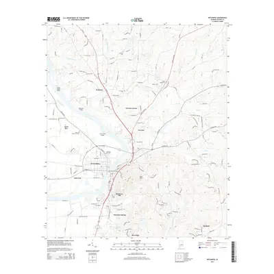
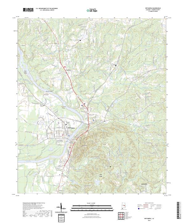
The Coosa River serves as the central artery of this 1901 survey, flowing through a landscape defined by transit points and early rural centers. Long before modern bridges spanned these waters, river traffic relied on numerous crossings like Higgins Ferry, Smiths Ferry, and Thompsons Old Ferry. To the south, the city of Wetumpka sits near the junction of the Coosa and the Tallapoosa River, while Rockford serves as a key inland hub to the north.
Find a feature on this map
109 named features on this map. Tap any name to fly to it.
Don’t see what you’re looking for? This feature index may not catch every label — zoom into the map to look around manually.
Map Details
Editions of this 1901 Wetumpka Map
This is the sole edition of this map. No revisions or reprints were ever made.
Historical Maps of Prattville Through Time
10 maps found
1901 Wetumpka
Elmore County, AL
1901 Wetumpka
Elmore County, AL
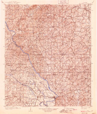
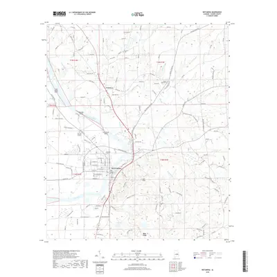
1903 Wetumpka
Elmore County, AL
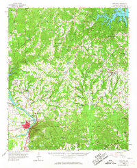
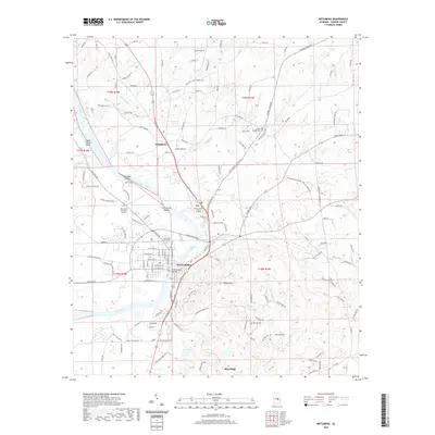
1959 Wetumpka
Elmore County, AL
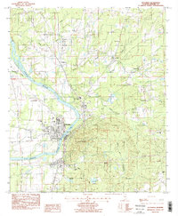
1987 Wetumpka
Elmore County, AL
2011 Wetumpka
Elmore County, AL
2014 Wetumpka
Elmore County, AL
2018 Wetumpka
Elmore County, AL
2020 Wetumpka
Elmore County, AL
2024 Wetumpka
Elmore County, AL