
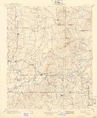
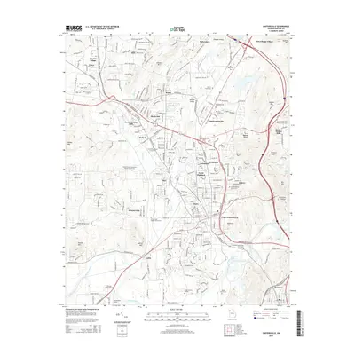
1891 Map of Cartersville
USGS Topo · Published 1891About this map
The Etowah River carves a serpentine path through the heart of this North Georgia landscape, serving as a vital corridor for both transport and industry. In this era, river crossings were critical hubs of local activity, marked by numerous named points like Wooley's Ferry, Steel's Bridge, and Webster's Ferry. The town of Cartersville sits at a strategic junction where the Western and Atlantic Railroad meets the Rome Railroad, surrounded by a network of smaller agricultural and milling communities. To the north, the terrain rises toward Pine Log Mountain, while the valleys are dotted with early settlements like Cassville and Adairsville. Genealogists will find value in the specific family-named landmarks such as Hall's Mill and Moore's Mill, which provide evidence of early water-powered commerce before the widespread expansion of heavy industry in the region.
Find a feature on this map
103 named features on this map. Tap any name to fly to it.
Don’t see what you’re looking for? This feature index may not catch every label — zoom into the map to look around manually.
Map Details
Editions of this 1891 Cartersville Map
This is the sole edition of this map. No revisions or reprints were ever made.
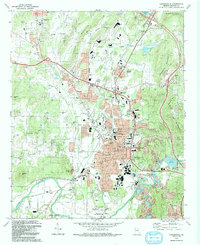
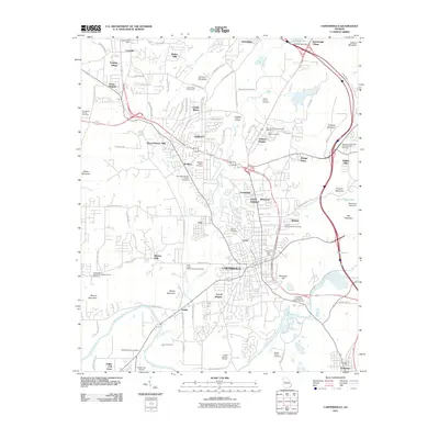
Historical Maps of Marietta Through Time
11 maps found

1890 Cartersville
Bartow County, GA
1891 Cartersville
Bartow County, GA
1896 Cartersville
Bartow County, GA
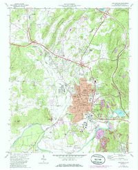
1972 Cartersville
Bartow County, GA

1981 Cartersville
Bartow County, GA
1992 Cartersville
Bartow County, GA
2011 Cartersville
Bartow County, GA
2014 Cartersville
Bartow County, GA
2017 Cartersville
Bartow County, GA
2020 Cartersville
Bartow County, GA
2024 Cartersville
Bartow County, GA