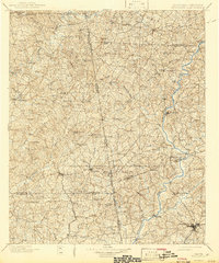
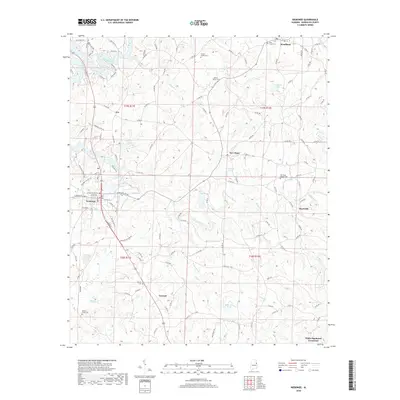
1899 Map of Wedowee
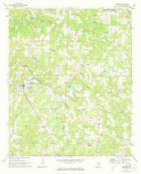
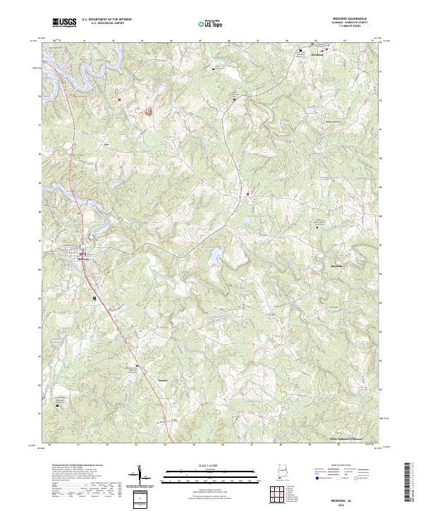
USGS Topo · Published 1958About this map
The Tallapoosa River and Chattahoochee River systems define this 1899 landscape, capturing a moment of development in Randolph and Chambers counties before the modern era of highway expansion. The settlement of Wedowee serves as a central hub, surrounded by smaller communities like Rock Mills and Standing Rock that were integral to the regional economy. The eastern border is clearly defined by the Alabama Georgia state line, showing the early connectivity between these frontier-era settlements.
Find a feature on this map
93 named features on this map. Tap any name to fly to it.
Don’t see what you’re looking for? This feature index may not catch every label — zoom into the map to look around manually.
Map Details
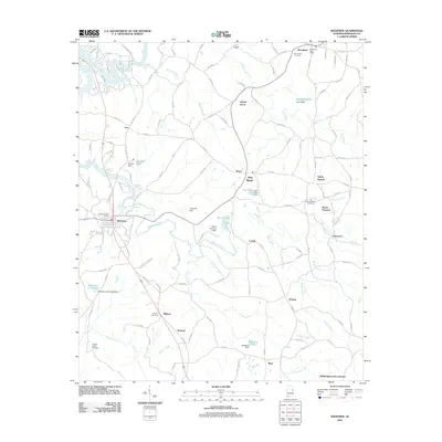
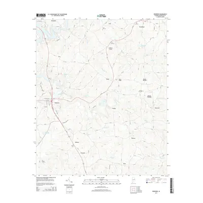
Editions of this 1899 Wedowee Map
This is the sole edition of this map. No revisions or reprints were ever made.
Historical Maps of LaGrange Through Time
8 maps found