Old Maps of Elkmont Rural Village, Limestone County
Explore 25 old maps of Elkmont Rural Village, spanning from 1888 to today. These high-resolution historic maps reveal how streets, neighborhoods, landmarks, and natural features evolved over time — perfect for genealogy, metal detecting, research, and local history exploration.
What you can do with these maps:
- See how Elkmont Rural Village changed over time: Compare historical maps to modern-day views to trace roads, homesites, rail lines & more.
- View detailed metadata: Each map includes creators, publishers, year, scale, and archive source.
- Overlay maps with satellite & LiDAR: Visualize the past alongside modern tools to explore terrain & human change.
- Trusted historical sources: Maps sourced from the USGS, Library of Congress, and other archives.
- Access maps your way: View online, download high-res files, or order prints for personal or research use.
Start exploring old maps of Elkmont Rural Village to uncover forgotten places, hidden landmarks, and the deep history beneath your feet.
Elkmont Rural Village, Limestone County maps
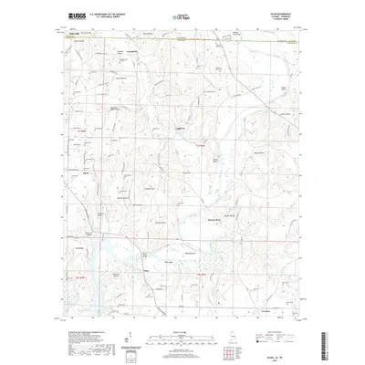
(25)- 1888 Map of Huntsville
 1888 Huntsville1888 Print · USGSMadison and Limestone counties in the late 1880s showcase a landscape defined by the Tennessee River and major early rail lines. Researchers can trace the layout of Huntsville or locate long-standing communities like Mooresville and Thompsons Mill.
 - 1892 Map of Huntsville
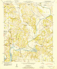
 1892 Huntsville1892 Print · USGSNorth Alabama was a landscape of river ferries and rising rail hubs in the 1890s, caught here just as the region's industry began to modernize. Researchers can locate vanished landmarks like the Monte Sano Hotel and trace old family-named sites from Thompsons Mill to Lemans Ferry.6 unique versions available
 - 1936 Map of Elkmont
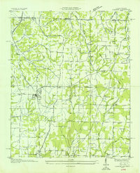 1936 Elkmont1936 Print · USGSThe Tennessee-Alabama borderlands come into focus in the mid-1930s, showing a landscape defined by the Louisville and Nashville rail line and rural industry. Genealogists can locate family landmarks like Hays Mill, Holland Gin, and old burial grounds including New Garden Cem.
 - 1936 Map of Salem
 1936 Salem1936 Print · USGSNorthern Alabama in the mid-thirties shows a landscape being reshaped by the rising waters of Wheeler Reservoir. Genealogists can trace early homesteads and family sites like Conniegun Cem and Walnut Grove Ch.
 - 1948 Map of Salem, 1974 Print
 1948 Salem1974 Print · USGSThe Alabama-Tennessee borderlands appear here in the late 1940s, showing a river-valley landscape being reshaped by the Wheeler Reservoir. Researchers can trace old family footprints at Leggtown, Gourdsville, and the ELK RIVER FISH HATCHERY, alongside numerous rural burial sites like Nelson Cem.
 - 1951 Map of Salem
 1951 Salem1951 Print · USGSLimestone County life is captured here in the early fifties as the Elk River meets the Wheeler Reservoir. Genealogists and local historians can trace family landmarks like Browning Cem, the community of Salem, and the Elk River Fish Hatchery.3 unique versions available
 - 1956 Map of Gadsden, 1966 Print
 1956 Gadsden1966 Print · USGSNorth Alabama in the mid-1950s shows a region transformed by river engineering and federal industry. Genealogists and local historians can trace the development of the Tennessee Valley through the growth of Huntsville, the sprawling Redstone Arsenal, and the expansive Guntersville Lake.3 unique versions available
 - 1958 Map of Gadsden
 1958 Gadsden1958 Print · USGSNorth Alabama comes alive in the late 1950s as the Tennessee Valley Authority’s massive river projects and the rise of the space industry reshaped the landscape. Researchers can trace the mid-century footprints of Huntsville, Redstone Arsenal, and the riverside rail networks of the Southern railroad.
 - 1958 Map of Elkmont, 1959 Print
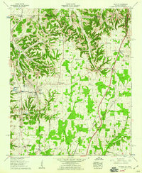 1958 Elkmont1959 Print · USGSLimestone County and the Tennessee borderlands are captured here in the late fifties, showcasing a landscape of rail-stop towns and rural agriculture. Genealogists can trace family names at the Antioch Cem or Robinson Cem, while historians can locate the old Holland Gin and Woodin Mill.2 unique versions available
 - 1960 Map of Gadsden
 1960 Gadsden1960 Print · USGSNorthern Alabama in the mid-1950s is defined by the mighty Tennessee River and its massive reservoirs. Trace the development of Huntsville and Redstone Arsenal or explore the vast William B Bankhead National Forest.2 unique versions available
 - 1963 Map of Gadsden
 1963 Gadsden1963 Print · USGSNorthern Alabama underwent a dramatic mid-century transformation as the Tennessee Valley became a hub for defense and industry. Researchers can trace the development of the Redstone Arsenal, the route of the Natchez Trace Parkway, and long-standing rail lines like the Southern Railway.
 - 1984 Map of Huntsville, 1986 Print
 1984 Huntsville1986 Print · USGSNorthern Alabama and the Tennessee borderlands are captured in the mid-eighties as Huntsville and the Redstone Arsenal expand. Researchers can trace rural landmarks from Woodlin Mill to the Cumberland Plateau and old rail lines like the Southern.3 unique versions available
 - 1986 Map of Tuscumbia
 1986 Tuscumbia1986 Print · USGSThe Tennessee River valley in the mid-1980s shows a landscape transformed by massive reservoirs and industrial hubs. Genealogists and local historians can trace the development of the Shoals area and locate rural communities like Tharp Town, Leighton, and Rogersville.3 unique versions available
 - 2010 Map of Elkmont, 2010 Print
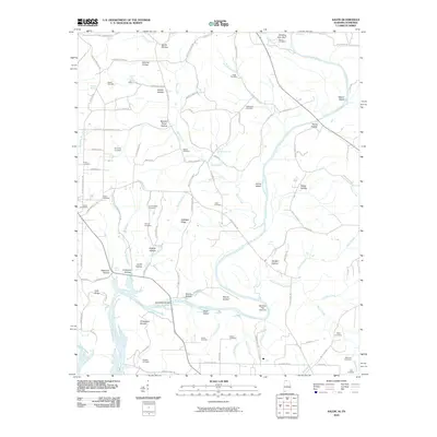
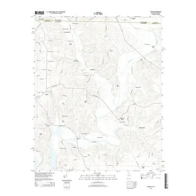
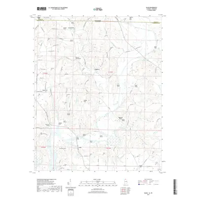
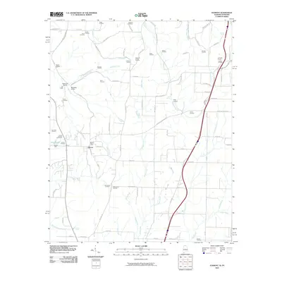 2010 Elkmont2010 Print · USGSCovers Elkmont Rural Village, including Elkmont, Woodfin Mill, and other nearby areas
 - 2010 Map of Salem, 2010 Print
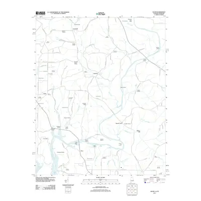
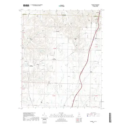
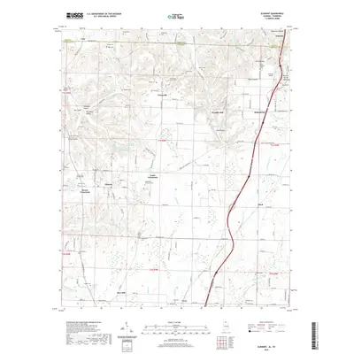
 2010 Salem2010 Print · USGSCovers Elkmont Rural Village, including Minor Hill, Walnut Hill, and other nearby areas
 - 2011 Map of Salem, 2011 Print
 2011 Salem2011 Print · USGSCovers Elkmont Rural Village, including Minor Hill, Walnut Hill, and other nearby areas
 - 2011 Map of Elkmont, 2011 Print
 2011 Elkmont2011 Print · USGSCovers Elkmont Rural Village, including Elkmont, Woodfin Mill, and other nearby areas
 - 2014 Map of Elkmont, 2014 Print
 2014 Elkmont2014 Print · USGSCovers Elkmont Rural Village, including Elkmont, Woodfin Mill, and other nearby areas
 - 2014 Map of Salem, 2014 Print
 2014 Salem2014 Print · USGSCovers Elkmont Rural Village, including Minor Hill, Walnut Hill, and other nearby areas
 - 2018 Map of Elkmont, 2018 Print
 2018 Elkmont2018 Print · USGSCovers Elkmont Rural Village, including Elkmont, Woodfin Mill, and other nearby areas
 - 2018 Map of Salem, 2018 Print
 2018 Salem2018 Print · USGSCovers Elkmont Rural Village, including Minor Hill, Walnut Hill, and other nearby areas
 - 2020 Map of Elkmont, 2020 Print
 2020 Elkmont2020 Print · USGSCovers Elkmont Rural Village, including Elkmont, Woodfin Mill, and other nearby areas
 - 2020 Map of Salem, 2020 Print
 2020 Salem2020 Print · USGSCovers Elkmont Rural Village, including Minor Hill, Walnut Hill, and other nearby areas
 - 2024 Map of Salem, 2024 Print
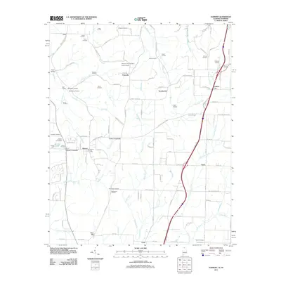
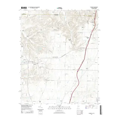
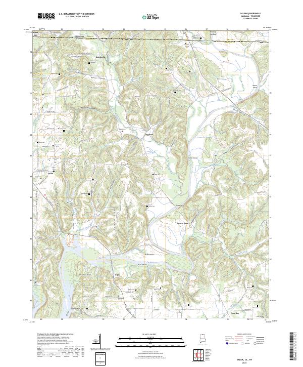 2024 Salem2024 Print · USGSLimestone County, Alabama, and Giles County, Tennessee, meet along the banks of the Elk River in this contemporary survey of the borderlands. Researchers can trace the heritage of rural communities and river crossings like Leggtown, Spencer Store, Grigsby Ferry, and the New Salem Cem.
 - 2024 Map of Elkmont, 2024 Print
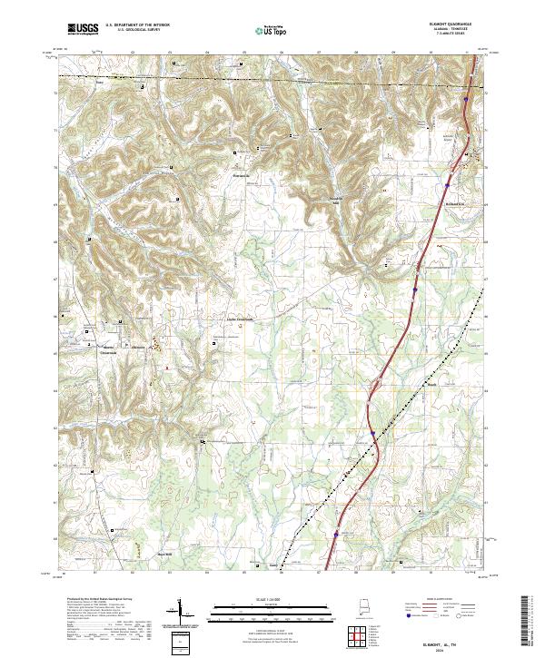 2024 Elkmont2024 Print · USGSElkmont and the surrounding Limestone County hill country are captured in this modern survey along the Tennessee border. Genealogists and local historians can trace family land and rural community sites like Woodfin Mill, Pettusville Church, and the Saint Mark Cem.
End of results
Showing maps 1-25 of 25
Frequently asked questions
- What are the different types of historical maps available for Elkmont Rural Village?
- What is the oldest map of Elkmont Rural Village?
- Where can I purchase historical maps of Elkmont Rural Village for my home or office?
- Where can I download high-res historical maps of Elkmont Rural Village?
- Are there historical topographic maps available for Elkmont Rural Village?
- Is there historical aerial imagery available for Elkmont Rural Village?
- Where are historical maps of Elkmont Rural Village sourced from?