Old Maps of Gordonville, Alabama
Explore 16 old maps of Gordonville, spanning from 1953 to today. These high-resolution historic maps reveal how streets, neighborhoods, landmarks, and natural features evolved over time — perfect for genealogy, metal detecting, research, and local history exploration.
What you can do with these maps:
- See how Gordonville changed over time: Compare historical maps to modern-day views to trace roads, homesites, rail lines & more.
- View detailed metadata: Each map includes creators, publishers, year, scale, and archive source.
- Overlay maps with satellite & LiDAR: Visualize the past alongside modern tools to explore terrain & human change.
- Trusted historical sources: Maps sourced from the USGS, Library of Congress, and other archives.
- Access maps your way: View online, download high-res files, or order prints for personal or research use.
Start exploring old maps of Gordonville to uncover forgotten places, hidden landmarks, and the deep history beneath your feet.
Gordonville, AL maps
(16)- 1953 Map of Montgomery, 1964 Print
 1953 Montgomery1964 Print · USGSCentral Alabama's river-and-rail corridor is mapped here in the mid-fifties, showing the vital connections between the capital and the Black Belt. Genealogists and historians can trace rail depots and crossroads from Marion Junction to Wetumpka, alongside landmarks like Craig AFB.4 unique versions available
 - 1956 Map of Montgomery
 1956 Montgomery1956 Print · USGSCentral Alabama in the mid-1950s shows a landscape defined by its great river systems and a booming military aviation presence. Genealogists and historians can trace the rail corridors of the Southern Railway and locate tactical bases like Maxwell AFB and Craig AFB.
 - 1957 Map of Montgomery
 1957 Montgomery1957 Print · USGSCentral Alabama in the mid-fifties is defined by the winding Alabama River and a strategic network of military bases and rail lines. Trace family roots in Montgomery and Selma, or locate landmarks like Craig AFB and the State Capitol before the interstate era.
 - 1981 Map of Gordonsville
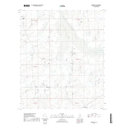
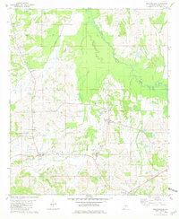 1981 Gordonsville1981 Print · USGSGordonsville and the rural Lowndes County landscape are captured here in the early eighties. Genealogists can trace family roots through numerous local landmarks like Bogahoma Cem, Ash Creek Ch, and Central High Sch.
 - 1981 Map of Mount Willing
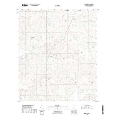
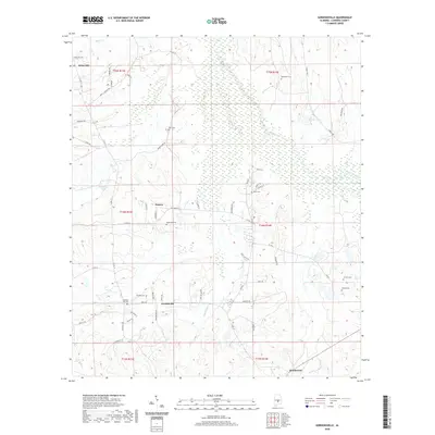
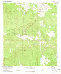 1981 Mount Willing1981 Print · USGSLowndes County during the early eighties shows a landscape of winding creeks and quiet rural outposts. Researchers can trace family history through sites like Lee Cem and Antioch Ch, or locate local landmarks like the Landing Strip near Beechwood.
 - 1986 Map of Montgomery
 1986 Montgomery1986 Print · USGSCentral Alabama's river-and-rail corridor is captured in the mid-1980s, centered on the state capital and its surrounding rural counties. Researchers can trace ancestral landmarks like Oakwood Cemetery, military sites like Maxwell Air Force Base, and small towns such as Lowndesboro.2 unique versions available
 - 2011 Map of Mount Willing, 2011 Print
 2011 Mount Willing2011 Print · USGSCovers Gordonville, including Mount Willing, Lum, and other nearby areas
 - 2011 Map of Gordonsville, 2011 Print
 2011 Gordonsville2011 Print · USGSCovers Gordonville, including Mosses, Hicks Hill, and other nearby areas
 - 2014 Map of Gordonsville, 2014 Print
 2014 Gordonsville2014 Print · USGSCovers Gordonville, including Mosses, Hicks Hill, and other nearby areas
 - 2014 Map of Mount Willing, 2014 Print
 2014 Mount Willing2014 Print · USGSCovers Gordonville, including Mount Willing, Lum, and other nearby areas
 - 2018 Map of Mount Willing, 2018 Print
 2018 Mount Willing2018 Print · USGSCovers Gordonville, including Mount Willing, Lum, and other nearby areas
 - 2018 Map of Gordonsville, 2018 Print
 2018 Gordonsville2018 Print · USGSCovers Gordonville, including Mosses, Hicks Hill, and other nearby areas
 - 2020 Map of Gordonsville, 2020 Print
 2020 Gordonsville2020 Print · USGSCovers Gordonville, including Mosses, Hicks Hill, and other nearby areas
 - 2020 Map of Mount Willing, 2020 Print
 2020 Mount Willing2020 Print · USGSCovers Gordonville, including Mount Willing, Lum, and other nearby areas
 - 2024 Map of Mount Willing, 2024 Print
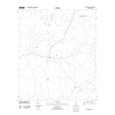
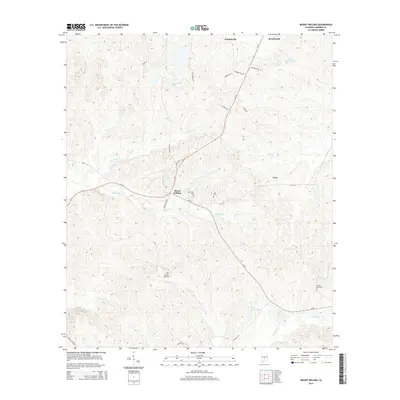
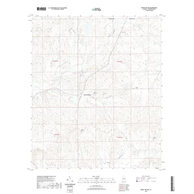
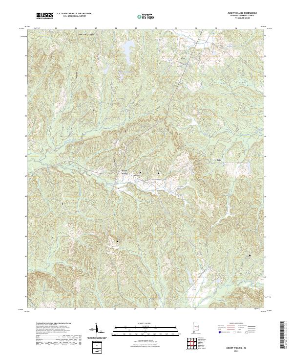 2024 Mount Willing2024 Print · USGSThe rural landscape of Lowndes County comes into focus in this contemporary survey of its small settlements and family lands. Genealogists can locate family-named landmarks and resting places such as Lee Cem, Temple Gate Cem, and Mount Willing Cem.
 - 2024 Map of Gordonsville, 2024 Print
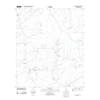
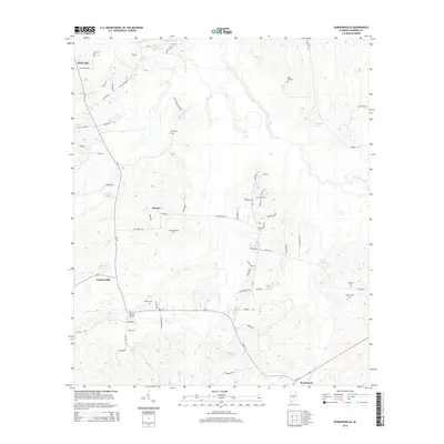
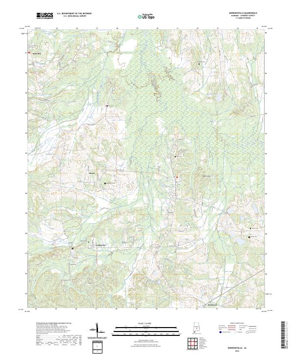 2024 Gordonsville2024 Print · USGSLowndes County’s rural crossroads and family burial grounds are meticulously documented in this modern survey of the Alabama Black Belt. Genealogists and local historians can trace family roots at Gordon Cem, Turners Cem, and the quiet settlements of Mosses and Gordonsville.
End of results
Showing maps 1-16 of 16
Top cities near Gordonville
- Fort Deposit historical maps
- Mosses historical maps
- Hayneville historical maps
- White Hall historical maps
- Lowndesboro historical maps
- Benton historical maps
Frequently asked questions
- What are the different types of historical maps available for Gordonville?
- What is the oldest map of Gordonville?
- Where can I purchase historical maps of Gordonville for my home or office?
- Where can I download high-res historical maps of Gordonville?
- Are there historical topographic maps available for Gordonville?
- Is there historical aerial imagery available for Gordonville?
- Where are historical maps of Gordonville sourced from?