
1953 Map of Montgomery
USGS Topo · Published 1964About this map
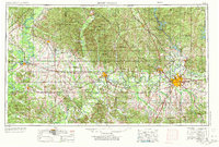
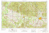
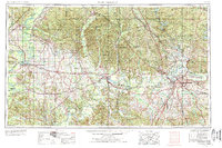
The Alabama River winds westward from the capital city of Montgomery, connecting a landscape of river-bend settlements and heavy rail corridors during the mid-twentieth century. This revision captures the region's transport network at its height, anchored by Selma and the operations at Craig AFB. The map documents the intricate junctions of the Southern, Gulf Mobile and Ohio, and Western Railway of Alabama, which served the agricultural and industrial needs of the Black Belt. To the north, the terrain transitions into the dense woodlands of the Talladega National Forest and the rising elevations of Parker Mountain. Smaller communities like Marion Junction, Faunsdale, and Hayneville appear alongside major reservoirs such as Martin Lake and Lake Jordan, illustrating the balance between hydroelectric development and traditional river commerce.
Find a feature on this map
88 named features on this map. Tap any name to fly to it.
Don’t see what you’re looking for? This feature index may not catch every label — zoom into the map to look around manually.
Map Details
Editions of this 1953 Montgomery Map
4 editions found
Other maps of this area

1890 · Bessemer
USGS Topo · 1:125,000

1890 · Talladega
USGS Topo · 1:125,000

1891 · Clanton
USGS Topo · 1:125,000

1891 · Ashland
USGS Topo · 1:125,000

1892 · Talladega
USGS Topo · 1:125,000

1892 · Bessemer
USGS Topo · 1:125,000

1899 · Brookwood
USGS Topo · 1:125,000

1901 · Wetumpka
USGS Topo · 1:125,000

1901 · Wetumpka
USGS Topo · 1:62,500

1903 · Wetumpka
USGS Topo · 1:125,000