Old Maps of Monroeville, Alabama for Metal Detecting
Plan your next treasure hunt with 16 historic maps of Monroeville. Find old homesites, ghost towns, trails, and gathering spots that may be lost to time — perfect for identifying promising metal detecting locations.
- Locate forgotten sites: Uncover places like long-lost settlements, abandoned rail lines, or gathering spots.
- Plan better hunts: Use map overlays combined with LiDAR or satellite views to narrow in on historically rich areas.
- Made for detectorists: Thousands of hobbyists use these maps to discover relics, coins, and hidden history.
Use these historic maps to boost your research and find new opportunities beneath the surface of Monroeville.
Monroeville, AL maps
(16)- 1953 Map of Andalusia, 1965 Print
 1953 Andalusia1965 Print · USGSSouth Alabama in the mid-twentieth century remains a land of pine forests and river-fed settlements. You can trace the vital rail corridors of the Louisville & Nashville and locate regional centers such as Andalusia, Brewton, and Monroeville.3 unique versions available
 - 1957 Map of Andalusia
 1957 Andalusia1957 Print · USGSSouthern Alabama in the mid-1950s was a landscape defined by timbered stretches and the rhythmic flow of the Alabama River. Researchers can trace the legacy of the rail era through the Central of Georgia tracks and the storied river bluffs at Choctaw Bluff.
 - 1972 Map of Monroeville, 1973 Print
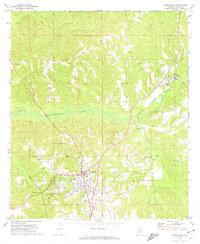 1972 Monroeville1973 Print · USGSMonroeville and its surrounding rural communities are captured here in the early seventies, showing a period of steady growth. Genealogists can trace family connections to rural landmarks like Mt Olive Ch and Antioch Ch or explore the rail corridors of the Louisville and Nashville.2 unique versions available
 - 1972 Map of Excel, 1974 Print
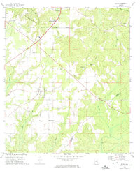 1972 Excel1974 Print · USGSMonroe County's evolving landscape in the early seventies shows the expansion of Excel and the infrastructure of the neighboring county seat. Genealogists and historians can locate rural landmarks like Mt Olive Ch, Halls Crossroads, and the Monroeville Academy.2 unique versions available
 - 1986 Map of Monroeville
 1986 Monroeville1986 Print · USGSMonroe and Clarke counties are captured here in the mid-eighties, centered on the river valleys of the Alabama River and Tombigbee River. Genealogists and local historians can trace legacy settlements like Burnt Corn, Whatley, and the river site of Claiborne.2 unique versions available
 - 1986 Map of Atmore
 1986 Atmore1986 Print · USGSSouth Alabama’s river country and timberlands are captured here in the mid-eighties, showing the deep-water bends of the Alabama River and the expanding road networks. Genealogists and historians can trace family locations through small-town post offices and rural churches like Chrysler Ch and the settlement of Barlow Bend.2 unique versions available
 - 2011 Map of Excel, 2011 Print
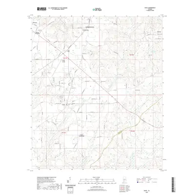
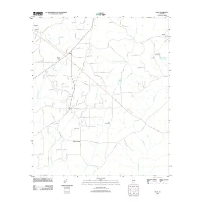 2011 Excel2011 Print · USGSCovers Monroeville, including Excel, Drewry, and other nearby areas
 - 2011 Map of Monroeville, 2011 Print
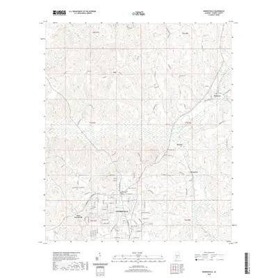
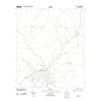 2011 Monroeville2011 Print · USGSCovers Monroeville, including West Monroeville, Renson, and other nearby areas
 - 2014 Map of Excel, 2014 Print
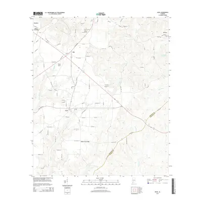 2014 Excel2014 Print · USGSCovers Monroeville, including Excel, Drewry, and other nearby areas
 - 2014 Map of Monroeville, 2014 Print
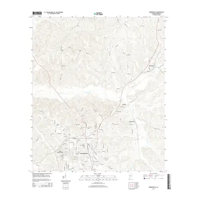 2014 Monroeville2014 Print · USGSCovers Monroeville, including West Monroeville, Renson, and other nearby areas
 - 2018 Map of Excel, 2018 Print
 2018 Excel2018 Print · USGSCovers Monroeville, including Excel, Drewry, and other nearby areas
 - 2018 Map of Monroeville, 2018 Print
 2018 Monroeville2018 Print · USGSCovers Monroeville, including West Monroeville, Renson, and other nearby areas
 - 2020 Map of Monroeville, 2020 Print
 2020 Monroeville2020 Print · USGSCovers Monroeville, including West Monroeville, Renson, and other nearby areas
 - 2020 Map of Excel, 2020 Print
 2020 Excel2020 Print · USGSCovers Monroeville, including Excel, Drewry, and other nearby areas
 - 2024 Map of Monroeville, 2024 Print
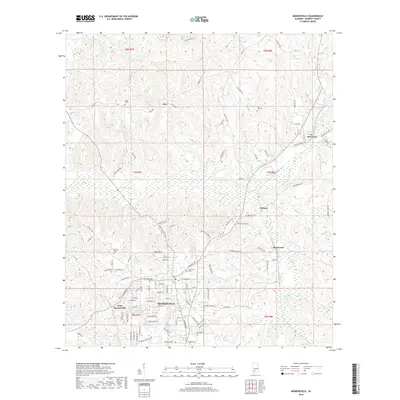
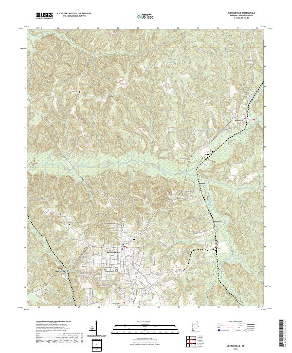 2024 Monroeville2024 Print · USGSMonroe County serves as a focal point for this contemporary survey of the Alabama timberlands and rural communities. Genealogists can locate family landmarks such as Hillcrest Cem and Ridge Cem, or trace the development of Peterman and Monroeton.
 - 2024 Map of Excel, 2024 Print
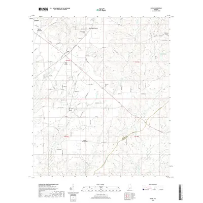
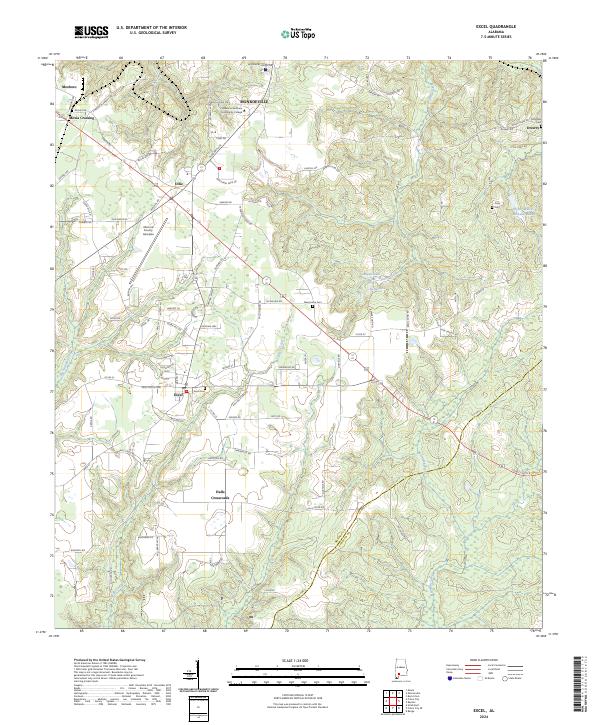 2024 Excel2024 Print · USGSMonroe County enters the 2020s as a blend of traditional crossroads and modern infrastructure. Genealogists can trace family sites at Excel Cem and McMillan Cem, while historians follow the old lines of the Excel Frisco Hwy through Ollie and Excel.
End of results
Showing maps 1-16 of 16
Top cities near Monroeville
- Frisco City historical maps
- Excel historical maps
- Uriah historical maps
- Repton historical maps
- Beatrice historical maps
Frequently asked questions
- What are the different types of historical maps available for Monroeville?
- What is the oldest map of Monroeville?
- Where can I purchase historical maps of Monroeville for my home or office?
- Where can I download high-res historical maps of Monroeville?
- Are there historical topographic maps available for Monroeville?
- Is there historical aerial imagery available for Monroeville?
- Where are historical maps of Monroeville sourced from?