Old Maps of Falkville, Alabama for Hiking & Exploration
Hike through history with 25 historic maps of Falkville. Explore old trails, ghost towns, and forgotten backroads — perfect for outdoor adventurers and local explorers.
- Rediscover forgotten places: Map out old mining camps, roads, and footpaths that no longer exist on modern maps.
- Layer with modern tools: Combine with LiDAR or satellite views to plan hikes through historical terrain.
- Made for exploration: Popular among hikers, overlanders, and local history lovers.
Use these maps to find adventure and explore the hidden past of Falkville.
Falkville, AL maps
(25)- 1888 Map of Cullman
 1888 Cullman1888 Print · USGSCullman and Morgan counties are shown in the late 1880s as the railroad fueled growth across the Sand Mountain region. Genealogists can trace early homesteads and commerce at Sobotka's Mill, Fort Bluff, and the riverside town of Blountsville.
 - 1892 Map of Cullman
 1892 Cullman1892 Print · USGSNorth-central Alabama's development is centered on the railroad corridor and rugged plateau country in the late nineteenth century. Genealogists can trace family footprints at Sobotka's Mill, along the historic Stout's Road, or near the remote Newsome Sinks.4 unique versions available
 - 1927 Map of Falkville
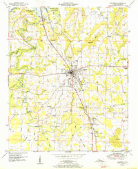
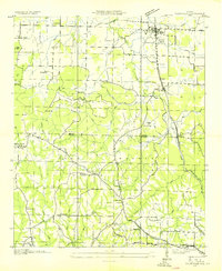 1927 Falkville1927 Print · USGSMorgan and Cullman counties are captured in the mid-1930s, showing the early infrastructure of the Tennessee Valley Authority. Genealogists can locate family landmarks like Wilhites Cem or community hubs such as Roundtop Ch and Panama Sch.
 - 1936 Map of Hartselle
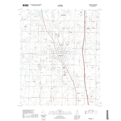
 1936 Hartselle1936 Print · USGSHartselle and the surrounding Morgan County countryside are captured here during the mid-1930s as the Tennessee Valley Authority began reshaping the landscape. Genealogists and local historians can trace rural communities through CCC Camp No 3485, Natural Bridge Sch, and Liberty Cem.
 - 1949 Map of Falkville, 1970 Print
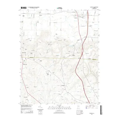
 1949 Falkville1970 Print · USGSMorgan and Cullman counties are captured here at mid-century, defined by the rise of Brindlee Mountain and the Louisville and Nashville rail line. Researchers can trace the Old Tennessee Corn Road and locate family landmarks like Piney Grove Cem or Friendship Church.4 unique versions available
 - 1949 Map of Hartselle, 1970 Print
 1949 Hartselle1970 Print · USGSMorgan County settlement and the expansion of the Tennessee River valley are documented here during the mid-twentieth century. Genealogists and local historians can locate family landmarks such as Shoal Creek Cem, Bethel Ch, and the Collins Sch.2 unique versions available
 - 1951 Map of Hartselle
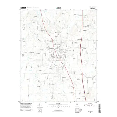
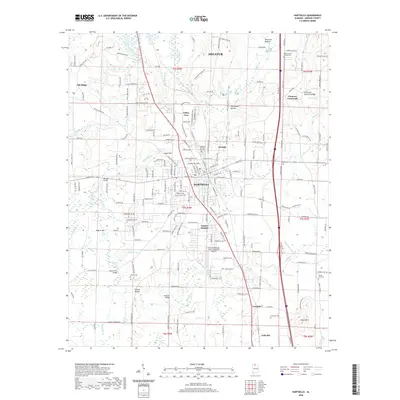
 1951 Hartselle1951 Print · USGSMid-century Morgan County centers on the rail-and-road hub of Hartselle as it expands into the surrounding farmlands. Genealogists and researchers can trace family landmarks like Barkley Bridge, Clemons Crossroads, and the Liberty Cem.2 unique versions available
 - 1951 Map of Falkville
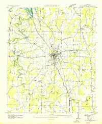
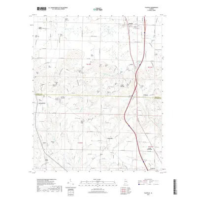
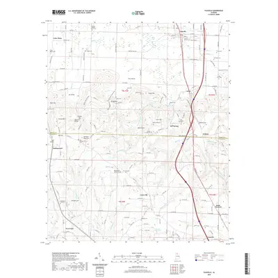
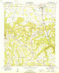 1951 Falkville1951 Print · USGSThe Morgan and Cullman County line is captured here in the early postwar era, dominated by the rise of Brindley Mountain. Genealogists and local historians can trace family locations near Falkville, the Ebenezer School, and the path of the Old Corn Road.
 - 1956 Map of Gadsden, 1966 Print
 1956 Gadsden1966 Print · USGSNorth Alabama in the mid-1950s shows a region transformed by river engineering and federal industry. Genealogists and local historians can trace the development of the Tennessee Valley through the growth of Huntsville, the sprawling Redstone Arsenal, and the expansive Guntersville Lake.3 unique versions available
 - 1958 Map of Gadsden
 1958 Gadsden1958 Print · USGSNorth Alabama comes alive in the late 1950s as the Tennessee Valley Authority’s massive river projects and the rise of the space industry reshaped the landscape. Researchers can trace the mid-century footprints of Huntsville, Redstone Arsenal, and the riverside rail networks of the Southern railroad.
 - 1960 Map of Gadsden
 1960 Gadsden1960 Print · USGSNorthern Alabama in the mid-1950s is defined by the mighty Tennessee River and its massive reservoirs. Trace the development of Huntsville and Redstone Arsenal or explore the vast William B Bankhead National Forest.2 unique versions available
 - 1963 Map of Gadsden
 1963 Gadsden1963 Print · USGSNorthern Alabama underwent a dramatic mid-century transformation as the Tennessee Valley became a hub for defense and industry. Researchers can trace the development of the Redstone Arsenal, the route of the Natchez Trace Parkway, and long-standing rail lines like the Southern Railway.
 - 1984 Map of Guntersville, 1985 Print
 1984 Guntersville1985 Print · USGSNorthern Alabama at the start of the eighties shows a landscape shaped by massive TVA impoundments and a robust rail network. Genealogists and historians can trace family land across Brindley Mountain or near old rail stops on the Louisville and Nashville RR and Southern Ry.2 unique versions available
 - 2011 Map of Falkville, 2011 Print
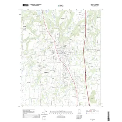
 2011 Falkville2011 Print · USGSCovers Falkville, including West Point, South Vinemont, and other nearby areas
 - 2011 Map of Hartselle, 2011 Print
 2011 Hartselle2011 Print · USGSCovers Falkville, including Decatur, Hartselle, and other nearby areas
 - 2014 Map of Falkville, 2014 Print
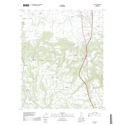
 2014 Falkville2014 Print · USGSCovers Falkville, including West Point, South Vinemont, and other nearby areas
 - 2014 Map of Hartselle, 2014 Print
 2014 Hartselle2014 Print · USGSCovers Falkville, including Decatur, Hartselle, and other nearby areas
 - 2018 Map of Hartselle, 2018 Print
 2018 Hartselle2018 Print · USGSCovers Falkville, including Decatur, Hartselle, and other nearby areas
 - 2018 Map of Falkville, 2018 Print
 2018 Falkville2018 Print · USGSCovers Falkville, including West Point, South Vinemont, and other nearby areas
 - 2020 Map of Falkville, 2020 Print
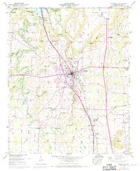
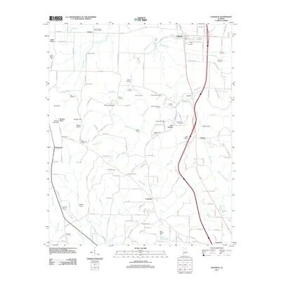
 2020 Falkville2020 Print · USGSCovers Falkville, including West Point, South Vinemont, and other nearby areas
 - 2020 Map of Hartselle, 2020 Print
 2020 Hartselle2020 Print · USGSCovers Falkville, including Decatur, Hartselle, and other nearby areas
 - 2024 Map of Falkville, 2024 Print
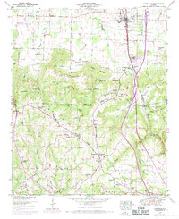
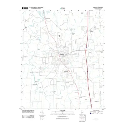
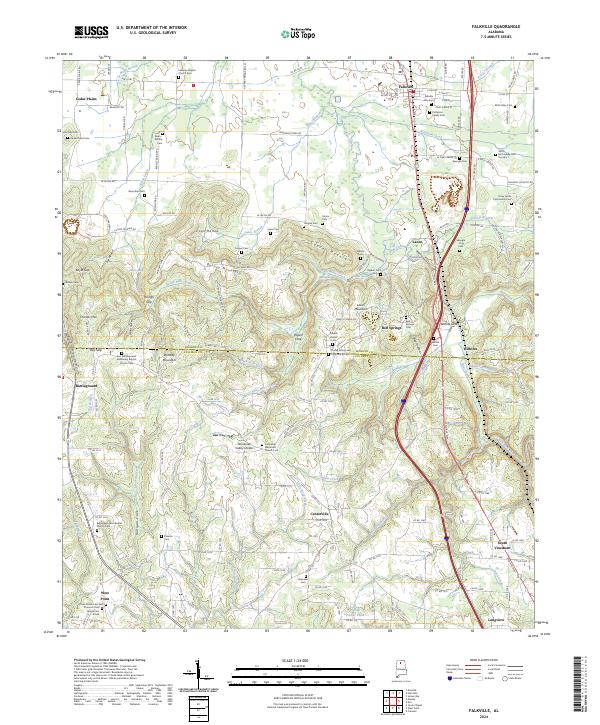 2024 Falkville2024 Print · USGSThe Morgan and Cullman county line area comes into focus here, showing the transition from the Tennessee Valley to the higher plateau. Researchers can trace family history through many rural burial sites like the Speegle-King Cem, Nunn-Wilhite Cem, and Falkville City Cem.
 - 2024 Map of Hartselle, 2024 Print
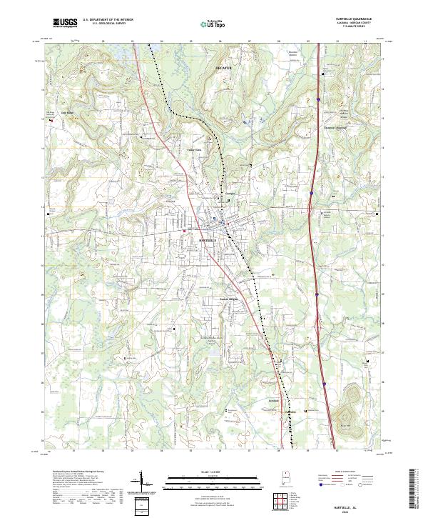 2024 Hartselle2024 Print · USGSCentered on Morgan County during the early twenty-first century, this map shows the rural character of the Tennessee Valley foothills and the growth of Hartselle. Genealogists can trace family landmarks like Moss Chapel, Liberty Cem, and the unique Hartselle Natural Bridge.
 - 2026 Map of Hartselle, 2026 Print
 2026 Hartselle2026 Print · USGSCovers Falkville, including Decatur, Hartselle, and other nearby areas
 - 2026 Map of Falkville, 2026 Print
 2026 Falkville2026 Print · USGSCovers Falkville, including West Point, South Vinemont, and other nearby areas
End of results
Showing maps 1-25 of 25
Top cities near Falkville
- Huntsville historical maps
- Decatur historical maps
- Cullman historical maps
- Hartselle historical maps
- Priceville historical maps
- Triana historical maps
See more
Top neighborhoods of Falkville
Frequently asked questions
- What are the different types of historical maps available for Falkville?
- What is the oldest map of Falkville?
- Where can I purchase historical maps of Falkville for my home or office?
- Where can I download high-res historical maps of Falkville?
- Are there historical topographic maps available for Falkville?
- Is there historical aerial imagery available for Falkville?
- Where are historical maps of Falkville sourced from?