2020s Maps of Moody, Alabama
Explore 8 historic maps of Moody from the 2020s. These maps offer a rare glimpse into what life looked like during the 2020s — showing old roads, neighborhoods, homes, and landmarks that have changed or disappeared over time.
Whether you're researching your family's past, planning a metal detecting trip, or studying how Moody's landscape evolved across the 2020s, these high-resolution maps are a powerful tool for exploring the history of this region.
- Focus on a specific era: All maps on this page are from the 2020s, giving you a focused view of this time period.
- See what’s changed: Compare century-old streets, trails, and buildings to today's modern landscape using overlays and satellite layers.
- Research with precision: Use these maps for genealogy, historical research, land use analysis, or educational projects.
- View, download, or print: Maps are fully viewable online in high resolution, and can be downloaded or printed for your own records.
Start exploring Moody's history through authentic maps from the 2020s. This is your window into the past.
Moody, AL maps
(8)- 2020 Map of Leeds, 2020 Print
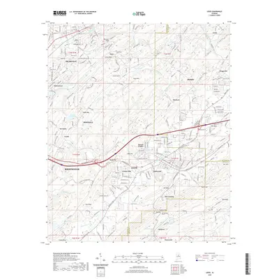 2020 Leeds2020 Print · USGSCovers Moody, including Birmingham, Trussville, and other nearby areas
 - 2020 Map of Cooks Springs, 2020 Print
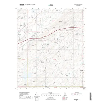 2020 Cooks Springs2020 Print · USGSCovers Moody, including Leeds, Acmar, and other nearby areas
 - 2020 Map of Odenville, 2020 Print
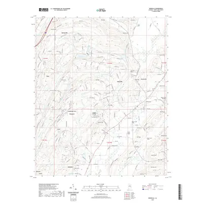 2020 Odenville2020 Print · USGSCovers Moody, including Margaret, Odenville, and other nearby areas
 - 2020 Map of Argo, 2020 Print
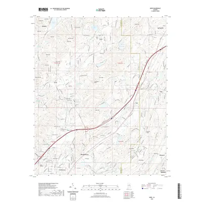 2020 Argo2020 Print · USGSCovers Moody, including Trussville, Clay, and other nearby areas
 - 2024 Map of Leeds, 2024 Print
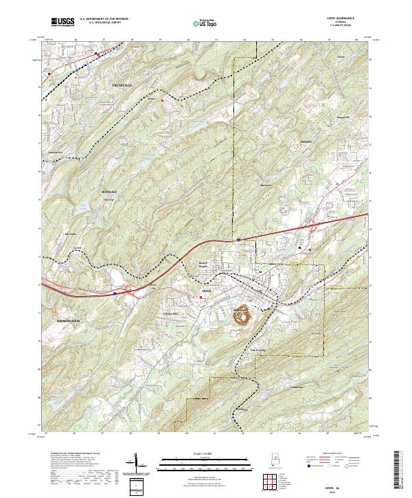 2024 Leeds2024 Print · USGSEastern Jefferson County is shown at its modern peak in this 2024 map. Genealogists and researchers can trace family landmarks and local transitions near Leeds and Trussville, including the Trussville Cem and Cedar Grove Cem.
 - 2024 Map of Argo, 2024 Print
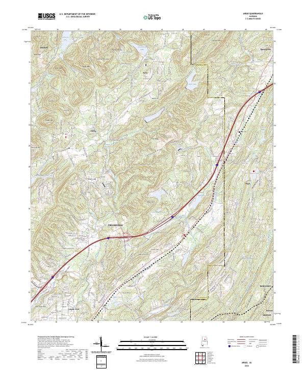 2024 Argo2024 Print · USGSAlabama's ridge-and-valley landscape northeast of Birmingham is shown here during a period of steady suburban expansion. Researchers can trace family sites near Argo Cemetery or follow the waters of the Cahaba River and Big Canoe Creek through Trussville and Springville.
 - 2024 Map of Cooks Springs, 2024 Print
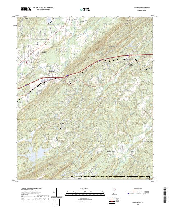 2024 Cooks Springs2024 Print · USGSThe ridges and gaps of central Alabama are captured here in the mid-2020s, showing the settled valleys between Taylors Mountain and Double Oak Mountain. Researchers can trace local heritage through sites like Stewarts Cem, Lawleys Chapel, and the historic Cooks Springs rail corridor.
 - 2024 Map of Odenville, 2024 Print
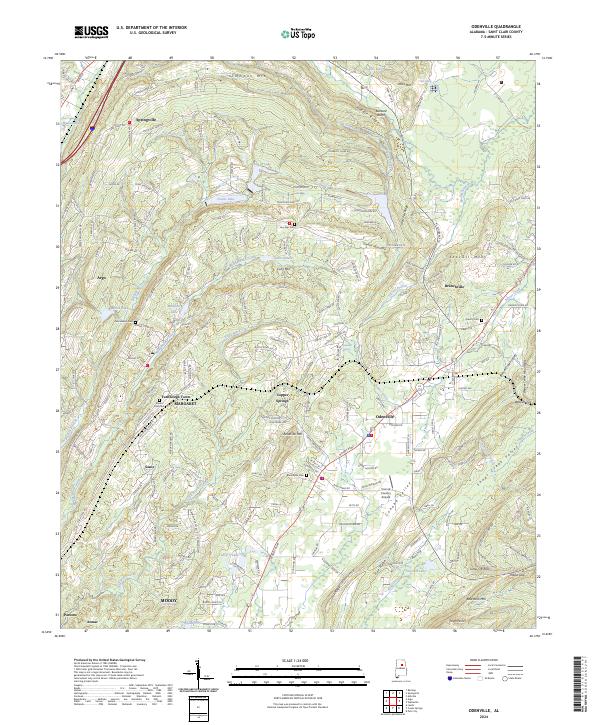 2024 Odenville2024 Print · USGSThe foothills of Saint Clair County are captured in this modern survey of the Odenville and Branchville areas. Genealogists can locate legacy sites like Austin Olds Cem and Low Gap Cem while tracing the ridgelines of Backbone Mountain.
End of results
Showing maps 1-8 of 8
Top cities near Moody
- Birmingham historical maps
- Hoover historical maps
- Vestavia Hills historical maps
- Trussville historical maps
- Pelham historical maps
- Mountain Brook historical maps
See more
Top neighborhoods of Moody
- Acmar historical maps
- Heritage Park historical maps
- Brompton historical maps
- Parsons historical maps
- Braggsville historical maps
- Hundred Oaks historical maps
See more
Frequently asked questions
- What are the different types of historical maps available for Moody?
- What is the oldest map of Moody?
- Where can I purchase historical maps of Moody for my home or office?
- Where can I download high-res historical maps of Moody?
- Are there historical topographic maps available for Moody?
- Is there historical aerial imagery available for Moody?
- Where are historical maps of Moody sourced from?