2020s Maps of Lincoln, Alabama
Explore 10 historic maps of Lincoln from the 2020s. These maps offer a rare glimpse into what life looked like during the 2020s — showing old roads, neighborhoods, homes, and landmarks that have changed or disappeared over time.
Whether you're researching your family's past, planning a metal detecting trip, or studying how Lincoln's landscape evolved across the 2020s, these high-resolution maps are a powerful tool for exploring the history of this region.
- Focus on a specific era: All maps on this page are from the 2020s, giving you a focused view of this time period.
- See what’s changed: Compare century-old streets, trails, and buildings to today's modern landscape using overlays and satellite layers.
- Research with precision: Use these maps for genealogy, historical research, land use analysis, or educational projects.
- View, download, or print: Maps are fully viewable online in high resolution, and can be downloaded or printed for your own records.
Start exploring Lincoln's history through authentic maps from the 2020s. This is your window into the past.
Lincoln, AL maps
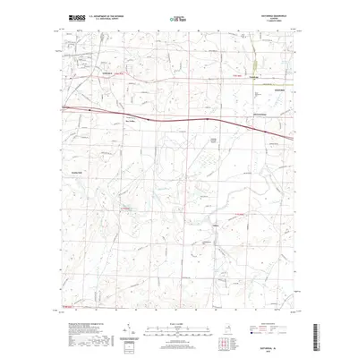
(10)- 2020 Map of Sleeping Giant, 2020 Print
 2020 Sleeping Giant2020 Print · USGSCovers Lincoln, including Talladega, Pell City, and other nearby areas
 - 2020 Map of Riverside, 2020 Print
 2020 Riverside2020 Print · USGSCovers Lincoln, including Pell City, Riverside, and other nearby areas
 - 2020 Map of Francis Mill, 2020 Print
 2020 Francis Mill2020 Print · USGSCovers Lincoln, including Ragland, Ohatchee, and other nearby areas
 - 2020 Map of Ragland, 2020 Print
 2020 Ragland2020 Print · USGSCovers Lincoln, including Riverside, Ragland, and other nearby areas
 - 2020 Map of Eastaboga, 2020 Print
 2020 Eastaboga2020 Print · USGSCovers Lincoln, including Oxford, Plum Springs, and other nearby areas
 - 2024 Map of Ragland, 2024 Print
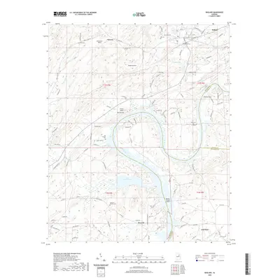
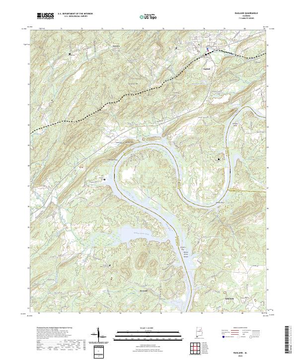 2024 Ragland2024 Print · USGSThe Coosa River valley in Alabama is shown here during a period of modern transit and enduring rural landmarks. Genealogists and local historians can trace the locations of Mitchells Ferry, the industrial site at Greens Mill, and family burial grounds like Wester Cem.
 - 2024 Map of Eastaboga, 2024 Print
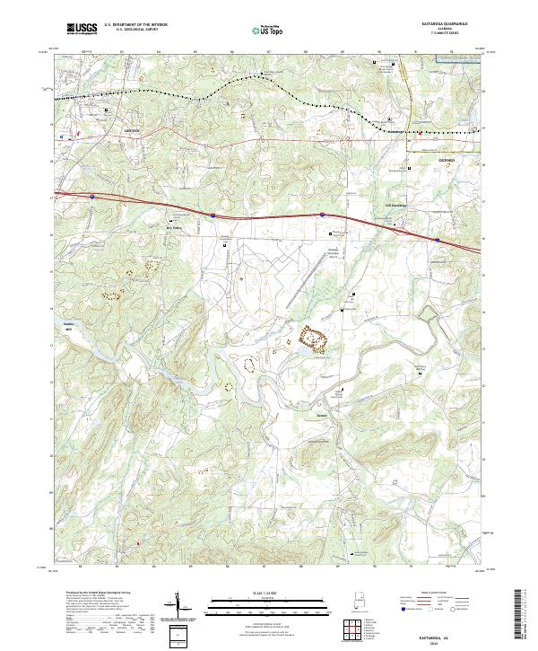 2024 Eastaboga2024 Print · USGSThis Alabama quadrangle captures the convergence of Talladega and Calhoun counties in recent years. Genealogists and historians can trace family-named sites like the Allen Elston 1860 Cem, Smiths Mill, and Sunlight Baptist Church.
 - 2024 Map of Francis Mill, 2024 Print
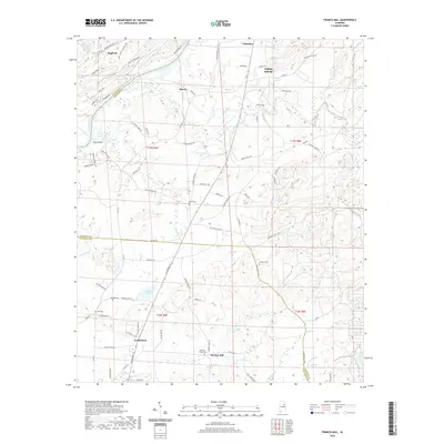
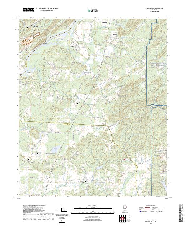 2024 Francis Mill2024 Print · USGSThe Coosa River and eastern military ranges frame this Alabama landscape in the early 2020s. Researchers can trace local heritage through landmarks like Martins Mill, the Refuge Baptist Church Cem, and the historic crossing at Fombys Ferry.
 - 2024 Map of Riverside, 2024 Print
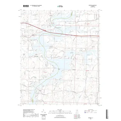
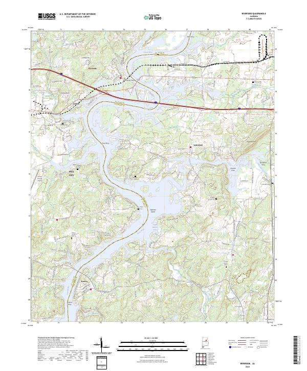 2024 Riverside2024 Print · USGSThe Coosa River valley at the St. Clair and Talladega county line shows a landscape transformed by the waters of Logan Martin Lake. Local historians can trace old river crossings like Truss Ferry and Colman Ferry or locate family sites like Walkers Family Cem.
 - 2024 Map of Sleeping Giant, 2024 Print
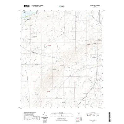
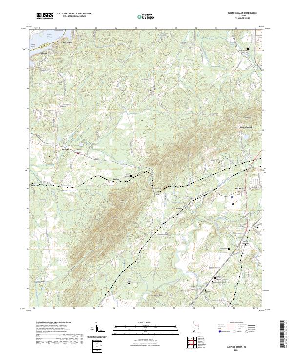 2024 Sleeping Giant2024 Print · USGSThe foothills of the Sleeping Giant mountains come to life in this contemporary survey of the Talladega area. Researchers can locate numerous historical burial sites such as Mardisville Cem and Thornhill Cem, or trace the Ford of Talladega Creek.
End of results
Showing maps 1-10 of 10
Top cities near Lincoln
- Oxford historical maps
- Anniston historical maps
- Talladega historical maps
- Pell City historical maps
- Childersburg historical maps
- Ashville historical maps
See more
Top neighborhoods of Lincoln
- Wendy Wood historical maps
- England Isle historical maps
- Eureka historical maps
- Eureka Shores historical maps
- Windsong Island historical maps
- Capri Islands historical maps
See more
Frequently asked questions
- What are the different types of historical maps available for Lincoln?
- What is the oldest map of Lincoln?
- Where can I purchase historical maps of Lincoln for my home or office?
- Where can I download high-res historical maps of Lincoln?
- Are there historical topographic maps available for Lincoln?
- Is there historical aerial imagery available for Lincoln?
- Where are historical maps of Lincoln sourced from?