Old Maps of Brookwood, Alabama for Genealogy
Trace your family roots with 15 historic maps of Brookwood. These high-res maps reveal old neighborhoods, homesites, landmarks, and streets — helping you uncover where your ancestors lived and how the area evolved over time.
- Explore historic neighborhoods: Identify where your relatives may have lived in the 1800s or 1900s.
- Compare maps over time: Trace the changes in streets, buildings, and landmarks for multi-generational research.
- Perfect for genealogy & ancestry research: Used by family historians and researchers to map out lineage and migration.
These maps are an incredible resource for exploring your personal connection to Brookwood's past.
Brookwood, AL maps
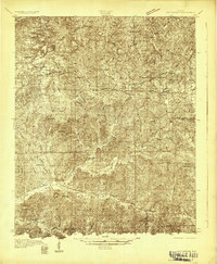
(15)- 1899 Map of Brookwood
 1899 Brookwood1899 Print · USGSCovers Brookwood, including Birmingham, Tuscaloosa, and other nearby areas4 unique versions available
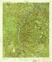
 - 1929 Map of Searles
 1929 Searles1929 Print · USGSCovers Brookwood, including Tuscaloosa, Grand Arbor, and other nearby areas
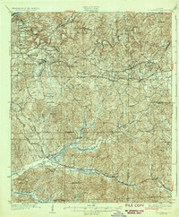
 - 1931 Map of Cottondale
 1931 Cottondale1931 Print · USGSCovers Brookwood, including Tuscaloosa, Holt, and other nearby areas
 - 1934 Map of Searles
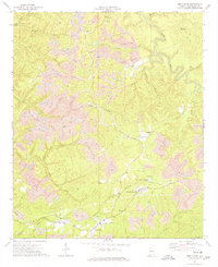
 1934 Searles1934 Print · USGSCovers Brookwood, including Tuscaloosa, Grand Arbor, and other nearby areas6 unique versions available
 - 1934 Map of Cottondale
 1934 Cottondale1934 Print · USGSCovers Brookwood, including Tuscaloosa, Holt, and other nearby areas3 unique versions available
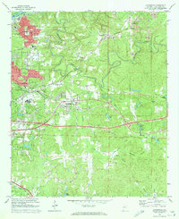
 - 1953 Map of Birmingham, 1964 Print
 1953 Birmingham1964 Print · USGSCovers Brookwood, including Birmingham, Tuscaloosa, and other nearby areas4 unique versions available
 - 1956 Map of Birmingham
 1956 Birmingham1956 Print · USGSCovers Brookwood, including Birmingham, Tuscaloosa, and other nearby areas
 - 1957 Map of Birmingham
 1957 Birmingham1957 Print · USGSCovers Brookwood, including Birmingham, Tuscaloosa, and other nearby areas
 - 1969 Map of Coaling, 1972 Print
 1969 Coaling1972 Print · USGSCovers Brookwood, including Tuscaloosa, Vance, and other nearby areas3 unique versions available
 - 1969 Map of Cottondale, 1973 Print
 1969 Cottondale1973 Print · USGSCovers Brookwood, including Tuscaloosa, Holt, and other nearby areas3 unique versions available
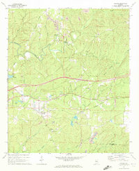
 - 1974 Map of Brookwood, 1976 Print
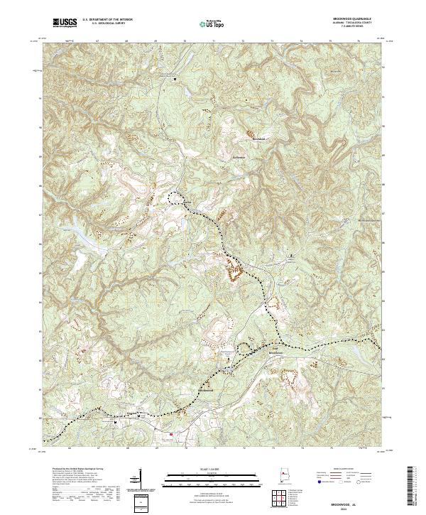
 1974 Brookwood1976 Print · USGSCovers Brookwood, including East Brookwood, Searles, and other nearby areas2 unique versions available
 - 1984 Map of Tuscaloosa, 1985 Print
 1984 Tuscaloosa1985 Print · USGSCovers Brookwood, including Birmingham, Tuscaloosa, and other nearby areas2 unique versions available
 - 2024 Map of Coaling, 2024 Print
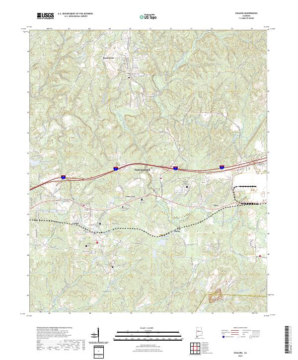 2024 Coaling2024 Print · USGSCovers Brookwood, including Tuscaloosa, Vance, and other nearby areas
 - 2024 Map of Brookwood, 2024 Print
 2024 Brookwood2024 Print · USGSCovers Brookwood, including East Brookwood, North Alabama Junction, and other nearby areas
 - 2024 Map of Cottondale, 2024 Print
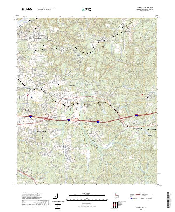 2024 Cottondale2024 Print · USGSCovers Brookwood, including Tuscaloosa, Holt, and other nearby areas
End of results
Showing maps 1-15 of 15
Top cities near Brookwood
- Birmingham historical maps
- Tuscaloosa historical maps
- Northport historical maps
- Abernant historical maps
- Lake View historical maps
- Holt historical maps
See more
Top neighborhoods of Brookwood
Frequently asked questions
- What are the different types of historical maps available for Brookwood?
- What is the oldest map of Brookwood?
- Where can I purchase historical maps of Brookwood for my home or office?
- Where can I download high-res historical maps of Brookwood?
- Are there historical topographic maps available for Brookwood?
- Is there historical aerial imagery available for Brookwood?
- Where are historical maps of Brookwood sourced from?