2000s (21st Century) Maps of Camden, Alabama
Explore 10 historic maps of Camden from the 2000s (21st Century). These maps offer a rare glimpse into what life looked like during the 2000s — showing old roads, neighborhoods, homes, and landmarks that have changed or disappeared over time.
Whether you're researching your family's past, planning a metal detecting trip, or studying how Camden's landscape evolved across the 2000s, these high-resolution maps are a powerful tool for exploring the history of this region.
- Focus on a specific era: All maps on this page are from the 2000s, giving you a focused view of this time period.
- See what’s changed: Compare century-old streets, trails, and buildings to today's modern landscape using overlays and satellite layers.
- Research with precision: Use these maps for genealogy, historical research, land use analysis, or educational projects.
- View, download, or print: Maps are fully viewable online in high resolution, and can be downloaded or printed for your own records.
Start exploring Camden's history through authentic maps from the 2000s. This is your window into the past.
Camden, AL maps
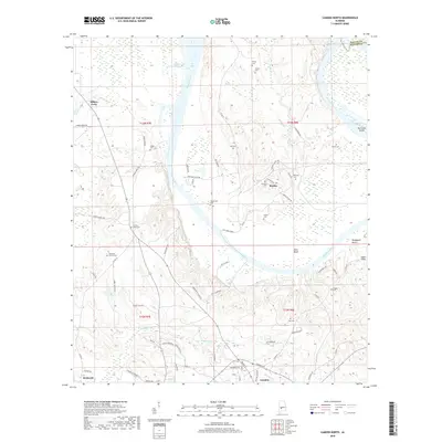
(10)- 2011 Map of Camden North, 2011 Print
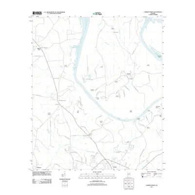 2011 Camden North2011 Print · USGSCovers Camden, including Boykin, Millers Ferry, and other nearby areas
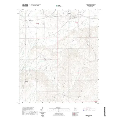
 - 2011 Map of Camden South, 2011 Print
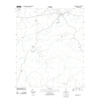 2011 Camden South2011 Print · USGSCovers Camden, including Pebble Hill, Rockwest, and other nearby areas
 - 2014 Map of Camden North, 2014 Print
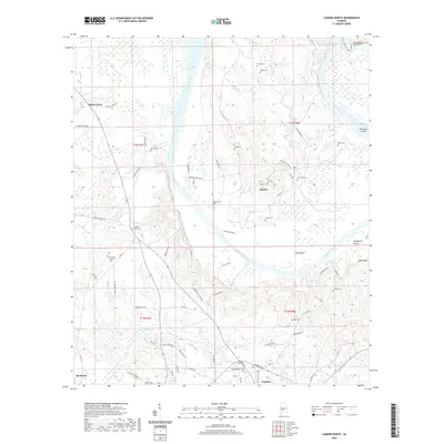
 2014 Camden North2014 Print · USGSCovers Camden, including Boykin, Millers Ferry, and other nearby areas
 - 2014 Map of Camden South, 2014 Print
 2014 Camden South2014 Print · USGSCovers Camden, including Pebble Hill, Rockwest, and other nearby areas
 - 2018 Map of Camden South, 2018 Print
 2018 Camden South2018 Print · USGSCovers Camden, including Pebble Hill, Rockwest, and other nearby areas
 - 2018 Map of Camden North, 2018 Print
 2018 Camden North2018 Print · USGSCovers Camden, including Boykin, Millers Ferry, and other nearby areas
 - 2020 Map of Camden South, 2020 Print
 2020 Camden South2020 Print · USGSCovers Camden, including Pebble Hill, Rockwest, and other nearby areas
 - 2020 Map of Camden North, 2020 Print
 2020 Camden North2020 Print · USGSCovers Camden, including Boykin, Millers Ferry, and other nearby areas
 - 2024 Map of Camden North, 2024 Print
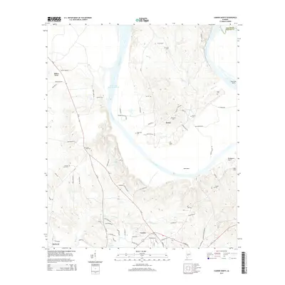
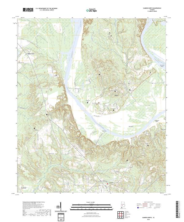 2024 Camden North2024 Print · USGSThe Alabama River dominates this Wilcox County landscape, defining the community of Gees Bend. Researchers can trace local heritage through numerous burial sites like Pettway Cem and Becks Cem, or locate historic river crossings at Gee's Bend Ferry.
 - 2024 Map of Camden South, 2024 Print
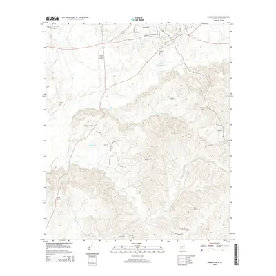
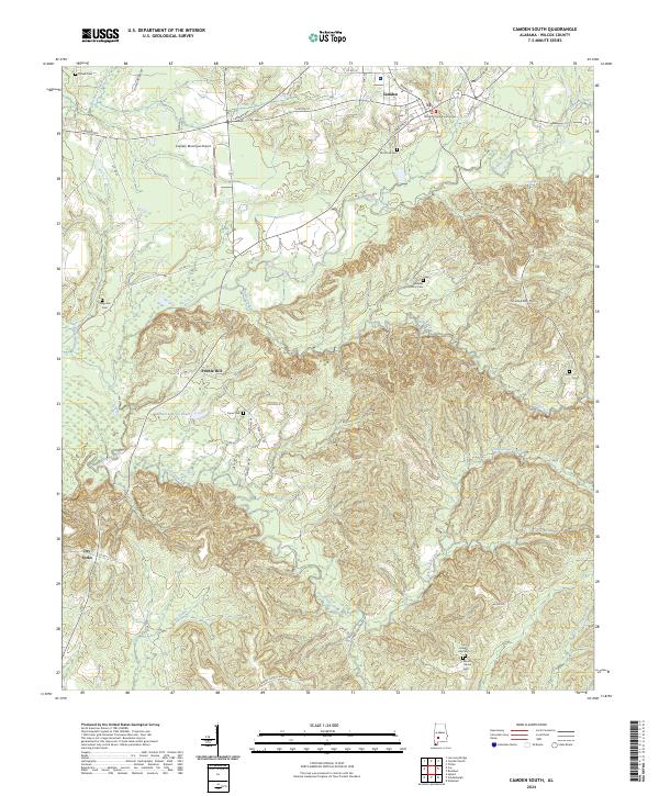 2024 Camden South2024 Print · USGSCamden and the surrounding Wilcox County countryside are shown here in modern detail, capturing the area's unique blend of civic history and rural landscapes. Researchers can locate numerous family burial sites like McIntosh Cem and Capell Cem or trace the drainage of Pursley Creek.
End of results
Showing maps 1-10 of 10
Top cities near Camden
- Vredenburgh historical maps
- Boykin historical maps
- Yellow Bluff historical maps
- Oak Hill historical maps
Frequently asked questions
- What are the different types of historical maps available for Camden?
- What is the oldest map of Camden?
- Where can I purchase historical maps of Camden for my home or office?
- Where can I download high-res historical maps of Camden?
- Are there historical topographic maps available for Camden?
- Is there historical aerial imagery available for Camden?
- Where are historical maps of Camden sourced from?