Old Maps of Carlton Square Condominium Association, Anchorage for Metal Detecting
Plan your next treasure hunt with 10 historic maps of Carlton Square Condominium Association. Find old homesites, ghost towns, trails, and gathering spots that may be lost to time — perfect for identifying promising metal detecting locations.
- Locate forgotten sites: Uncover places like long-lost settlements, abandoned rail lines, or gathering spots.
- Plan better hunts: Use map overlays combined with LiDAR or satellite views to narrow in on historically rich areas.
- Made for detectorists: Thousands of hobbyists use these maps to discover relics, coins, and hidden history.
Use these historic maps to boost your research and find new opportunities beneath the surface of Carlton Square Condominium Association.
Carlton Square Condominium Association, Anchorage maps
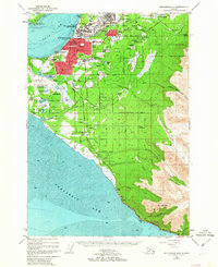
(10)- 1951 Map of Anchorage
 1951 Anchorage1951 Print · USGSMid-century Anchorage and the Matanuska Valley are seen here during a period of rapid strategic growth. Trace the development of Fort Richardson, early rail stops at Wasilla, and established mining operations like the Independence Mine or Premier Mine.4 unique versions available
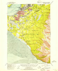
 - 1952 Map of Anchorage A-8, 1963 Print
 1952 Anchorage A-81963 Print · USGSAnchorage and its surrounding military hubs are shown here during a period of rapid mid-century expansion. Trace the early footprints of Spenard and Mountain View, or locate landmarks like the International Airport and the Alaska Railroad.4 unique versions available
 - 1953 Map of Anchorage A-8, 1954 Print
 1953 Anchorage A-81954 Print · USGSAnchorage during the early 1950s reveals a city rapidly expanding around its military bases and new aviation hubs. Researchers can trace the development of early neighborhoods like Spenard, the operations of the Alaska Railroad, and local landmarks like the Prison Farm.2 unique versions available
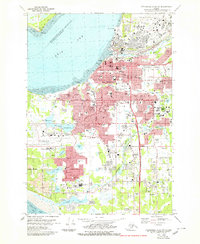
 - 1962 Map of Anchorage, 1966 Print
 1962 Anchorage1966 Print · USGSThe Anchorage bowl and Matanuska Valley appear in this mid-century survey during a period of significant military and industrial expansion. Researchers can trace the Alaska Railroad through Sutton and Jonesville or locate historic stops like Meekins Roadhouse and the Watertower Inn.6 unique versions available
 - 1979 Map of Anchorage A-8 NW
 1979 Anchorage A-8 NW1979 Print · USGSAnchorage and its surrounding neighborhoods are shown during a time of major urban expansion in the late seventies. Researchers can trace the layout of early suburbs like Spenard and Turnagain Heights or locate civic landmarks like Merrill Field and Memorial Park.3 unique versions available
 - 1979 Map of Anchorage, 1980 Print
 1979 Anchorage1980 Print · USGSThe Anchorage bowl and Matanuska Valley appear in the late seventies as the region's transportation and military infrastructure matured. Genealogists and historians can trace rail and road evolution through Wasilla, the Matanuska Branch line, and Jonesville.
 - 1994 Map of Anchorage A-8, 2002 Print
 1994 Anchorage A-82002 Print · USGSAnchorage during the mid-nineties shows a city defined by its military bases, university campuses, and bustling aviation hubs. Researchers can trace the development of suburban neighborhoods and major landmarks like the Diamond Center Shopping Mall, Wilson Village, and the Fort Richardson Cem.
 - 2016 Map of Anchorage A-8 NW, 2016 Print
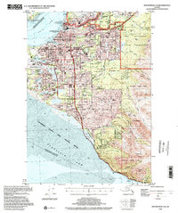
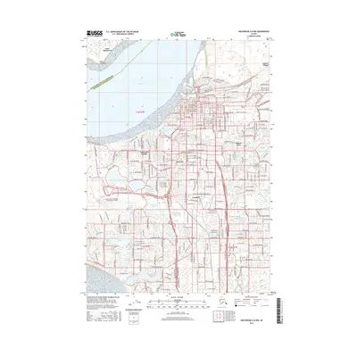 2016 Anchorage A-8 NW2016 Print · USGSCovers Carlton Square Condominium Association, including Anchorage, Campbell, and other nearby areas
 - 2019 Map of Anchorage A-8 NW, 2019 Print
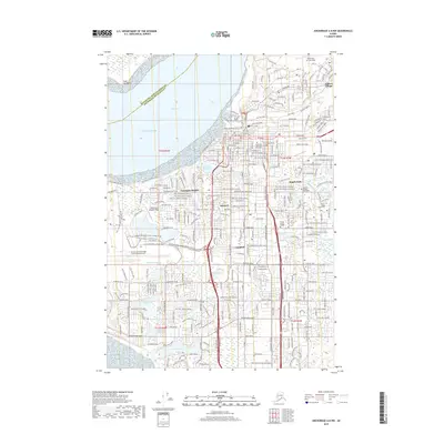 2019 Anchorage A-8 NW2019 Print · USGSCovers Carlton Square Condominium Association, including Anchorage, Campbell, and other nearby areas
 - 2023 Map of Anchorage A-8 NW, 2023 Print
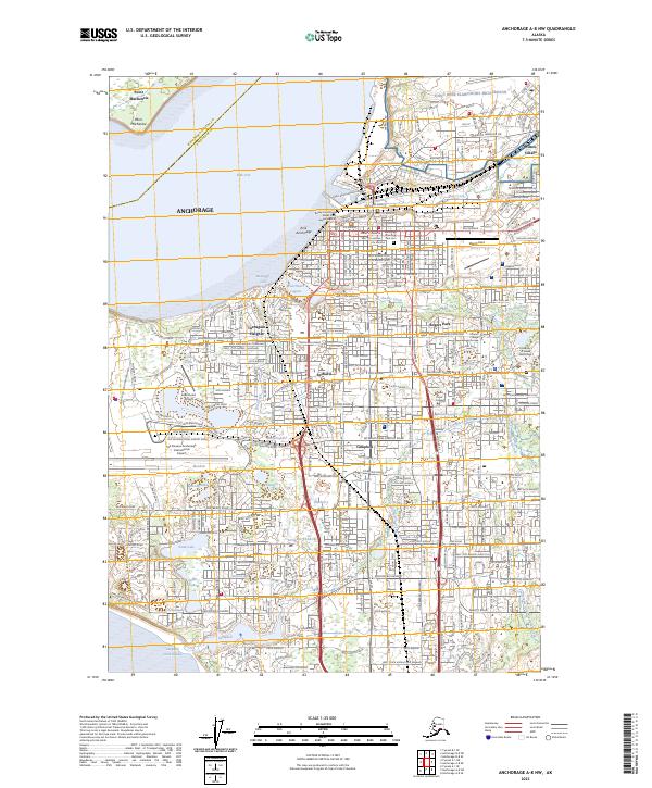 2023 Anchorage A-8 NW2023 Print · USGSAnchorage at the start of the 2020s shows a modern cityscape integrated with its complex coastal hydrology. Researchers can trace neighborhood development from Bootlegger Cove to Spenard or locate landmarks like Merrill Field and the Boney Courthouse.
End of results
Showing maps 1-10 of 10
Frequently asked questions
- What are the different types of historical maps available for Carlton Square Condominium Association?
- What is the oldest map of Carlton Square Condominium Association?
- Where can I purchase historical maps of Carlton Square Condominium Association for my home or office?
- Where can I download high-res historical maps of Carlton Square Condominium Association?
- Are there historical topographic maps available for Carlton Square Condominium Association?
- Is there historical aerial imagery available for Carlton Square Condominium Association?
- Where are historical maps of Carlton Square Condominium Association sourced from?