Old Maps of Greer Place, Arizona for Genealogy
Trace your family roots with 14 historic maps of Greer Place. These high-res maps reveal old neighborhoods, homesites, landmarks, and streets — helping you uncover where your ancestors lived and how the area evolved over time.
- Explore historic neighborhoods: Identify where your relatives may have lived in the 1800s or 1900s.
- Compare maps over time: Trace the changes in streets, buildings, and landmarks for multi-generational research.
- Perfect for genealogy & ancestry research: Used by family historians and researchers to map out lineage and migration.
These maps are an incredible resource for exploring your personal connection to Greer Place's past.
Greer Place, AZ maps
(14)- 1886 Map of St Johns
 1886 St Johns1886 Print · USGSApache County in the 1880s was a landscape of emerging pioneer outposts and high-plateau cattle ranching. Researchers can trace the early footprints of settlements like St Johns and Erastus or locate the original path of the Atlantic and Pacific Railroad.
 - 1892 Map of St Johns
 1892 St Johns1892 Print · USGSArizona's eastern frontier is documented here in the late nineteenth century as cattle ranching and early settlements followed the path of the river. Genealogists and historians can trace the foundations of St Johns and Springerville or locate long-standing sites like Erastus and Windmill Ranch.5 unique versions available
 - 1954 Map of Saint Johns, 1968 Print
 1954 Saint Johns1968 Print · USGSThe high plateau of the Arizona-New Mexico border is captured here in the mid-1950s, showing the intersection of tribal lands and national forests. Researchers can trace the cattle country and mountain outposts from Saint Johns to Pie Town and McNary.3 unique versions available
 - 1955 Map of Adamana 4 SE, 1957 Print
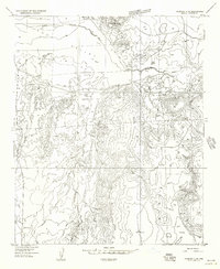 1955 Adamana 4 SE1957 Print · USGSNortheast Arizona’s high desert is captured in the mid-1950s, showing a landscape defined by the Little Colorado River and ancient landforms. Researchers can locate remote landmarks like Greer Place, the Rogers Lake (Dry Lakebed), and several unidentified ruins across the mesas.
 - 1955 Map of Hunt, 1959 Print
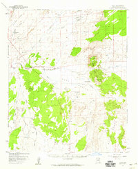 1955 Hunt1959 Print · USGSApache County's ranching landscape is captured here in the mid-1950s, centered on the river junction at Hunt. Researchers can trace old transportation routes and isolated homesteads like the Old Mail Station and Greer Place along the Little Colorado River.2 unique versions available
 - 1957 Map of Saint Johns
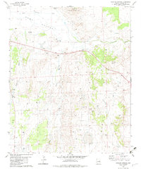
 1957 Saint Johns1957 Print · USGSThe Arizona-New Mexico borderlands are captured here in the mid-fifties, showing the high-country settlements and federal lands before modern development. Genealogists and historians can trace old homesteads and landmarks like the Red Hill Post Office, Lyman Reservoir, and the mountain communities of Eagar and Springerville.
 - 1958 Map of Saint Johns
 1958 Saint Johns1958 Print · USGSEastern Arizona and western New Mexico appear here in the late fifties, showcasing the high plateau and forest landscapes along the Continental Divide. Researchers can trace early ranching routes and water systems like Lyman Reservoir or locate remote settlements such as Fence Lake and Atarque.2 unique versions available
 - 1962 Map of Saint Johns
 1962 Saint Johns1962 Print · USGSEastern Arizona and the New Mexico borderlands come alive in the early sixties, showing a landscape of high-plateau ranching and early national monuments. Trace the path of the Atchison Topeka and Santa Fe or locate old water sources like Salado Springs and Lyman Reservoir.
 - 1981 Map of Saint Johns, 1996 Print
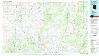 1981 Saint Johns1996 Print · USGSNortheastern Arizona's high plateau comes into focus in the early 1980s, centered on the settlement of St Johns. Researchers can trace the Atchison Topeka and Santa Fe railroad through Adamana and locate landmarks like Lyman Lake and Zion Reservoir.
 - 1982 Map of Stinking Springs, 1983 Print
 1982 Stinking Springs1983 Print · USGSThe high desert of Apache County comes into focus during the early eighties, showing a landscape shaped by the Little Colorado River. Genealogists and local historians can trace family-named sites like Greer Place and find historical water sources including Stinking Springs and Red Tank.
 - 2011 Map of Stinking Springs, 2011 Print
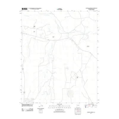 2011 Stinking Springs2011 Print · USGSCovers Greer Place, including Apache County, United States, and other nearby areas
 - 2014 Map of Stinking Springs, 2014 Print
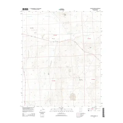 2014 Stinking Springs2014 Print · USGSCovers Greer Place, including Apache County, United States, and other nearby areas
 - 2018 Map of Stinking Springs, 2018 Print
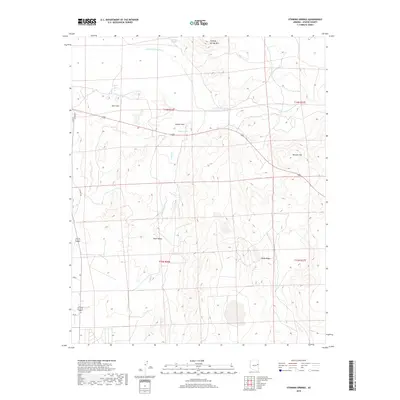 2018 Stinking Springs2018 Print · USGSCovers Greer Place, including Apache County, United States, and other nearby areas
 - 2021 Map of Stinking Springs, 2021 Print
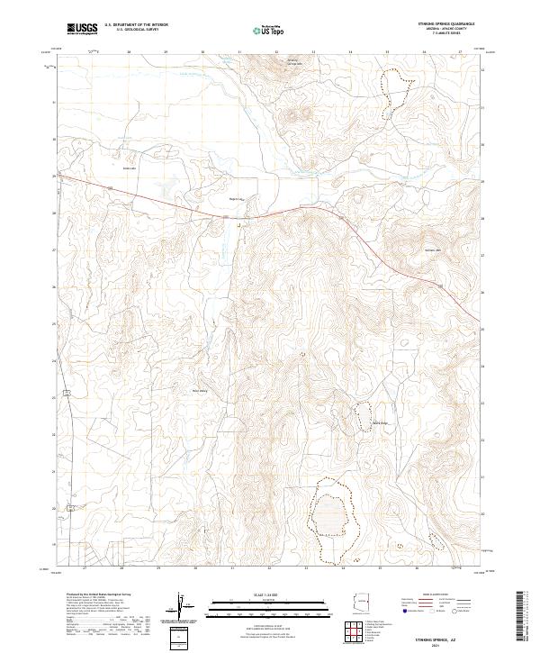 2021 Stinking Springs2021 Print · USGSApache County's arid high-country landscape is captured here in the early twenty-first century, centered on the Little Colorado River drainage. Researchers can trace the path of Concho Cr through Hunt Valley or locate landmarks like Stinking Springs Mtn.
End of results
Showing maps 1-14 of 14
Top cities near Greer Place
Frequently asked questions
- What are the different types of historical maps available for Greer Place?
- What is the oldest map of Greer Place?
- Where can I purchase historical maps of Greer Place for my home or office?
- Where can I download high-res historical maps of Greer Place?
- Are there historical topographic maps available for Greer Place?
- Is there historical aerial imagery available for Greer Place?
- Where are historical maps of Greer Place sourced from?